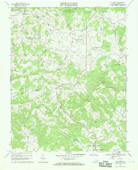
1967 Map of Elk Creek
USGS Topo · Published 1970About this map
Independence serves as a primary hub in this corner of Grayson County, situated just south of the high ridgelines of Lookout Mountain and Buck Mountain. The landscape is defined by the sharp transition between the managed timberlands of Jefferson National Forest and the concentrated rural settlements found along the valley floors. In the northern reaches, the community of Elk Creek is surrounded by a dense network of country houses and religious landmarks, including Cross Road Ch and Fellowship Ch.
Find a feature on this map
48 named features on this map. Tap any name to fly to it.
Don’t see what you’re looking for? This feature index may not catch every label — zoom into the map to look around manually.
Map Details
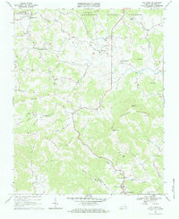
Editions of this 1967 Elk Creek Map
2 editions found
Other maps of this area

1889 · Wytheville
USGS Topo · 1:125,000

1892 · Wytheville
USGS Topo · 1:125,000

1930 · Speedwell
USGS Topo · 1:62,500

1930 · Independence
USGS Topo · 1:48,000

1931 · Rural Retreat
USGS Topo · 1:48,000

1933 · Independence
USGS Topo · 1:62,500

1935 · Mouth of Wilson
USGS Topo · 1:48,000

1935 · Cedar Springs
USGS Topo · 1:24,000

1935 · Middle Fox Creek
USGS Topo · 1:24,000
1939 · Speedwell
USGS Topo · 1:62,500