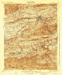
1939 Map of Speedwell
USGS Topo · Published 1939About this map
Wytheville stands as the central hub of this pre-war survey, where the Lee Highway intersects with the Norfolk and Western railroad line. The landscape is defined by the heavy ridges of Lick Mountain and Henley Mountain, creating a natural barrier between the urban center and the rural agricultural valleys to the south. Along the banks of Cripple Creek, the small settlement of Speedwell and the Little Wythe Furnace represent the region's early industrial and mineral heritage.
Find a feature on this map
97 named features on this map. Tap any name to fly to it.
Don’t see what you’re looking for? This feature index may not catch every label — zoom into the map to look around manually.
Map Details
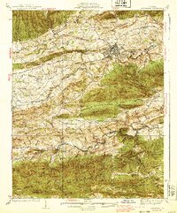
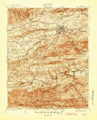
Editions of this 1939 Speedwell Map
3 editions found
Other maps of this area

1887 · Pocahontas
USGS Topo · 1:125,000

1889 · Hillsville
USGS Topo · 1:125,000

1889 · Wytheville
USGS Topo · 1:125,000

1890 · Dublin
USGS Topo · 1:125,000

1891 · Pocahontas
USGS Topo · 1:125,000

1891 · Dublin
USGS Topo · 1:125,000

1892 · Hillsville
USGS Topo · 1:125,000

1892 · Wytheville
USGS Topo · 1:125,000

1894 · Pocahontas
USGS Topo · 1:125,000

1895 · Pocahontas
USGS Topo · 1:125,000