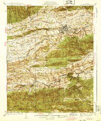
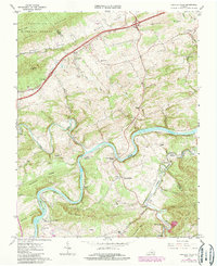
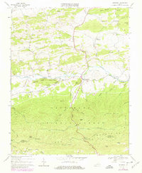
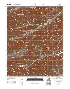
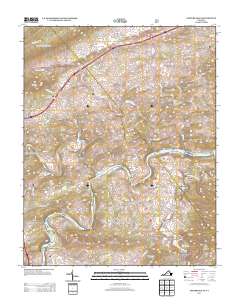
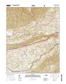
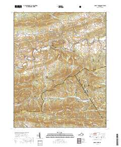
1939 Map of Speedwell
USGS Topo · Published 1939About this map
Wytheville serves as the focal point of this late 1930s survey, showing a landscape defined by the ridgelines of Little Walker Mtn and Henley Mountain. The region’s industrial and agricultural activity is traced along the Norfolk and Western RR, with technical infrastructure like Government Siding providing evidence of logistical operations in the valley. To the south, the Jefferson National Forest covers significant terrain, where a segment of the Appalachian Trail crosses through Wythe Co toward Grayson Co.
Find a feature on this map
88 named features on this map. Tap any name to fly to it.
Don’t see what you’re looking for? This feature index may not catch every label — zoom into the map to look around manually.
Map Details
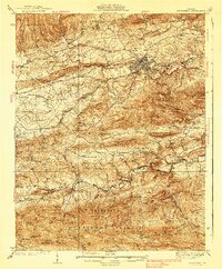
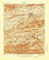
Editions of this 1939 Speedwell Map
3 editions found
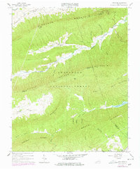
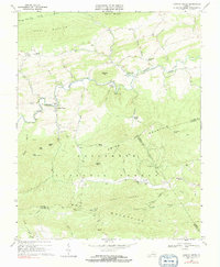
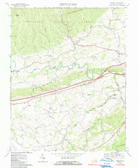
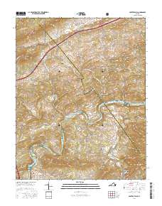
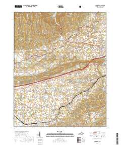
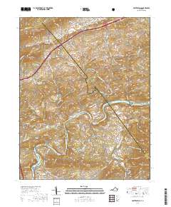
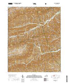
Historical Maps of Wytheville Through Time
33 maps found

1930 Speedwell
Wythe County, VA
1935 Groseclose
Wythe County, VA
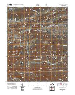
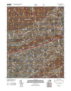
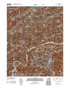
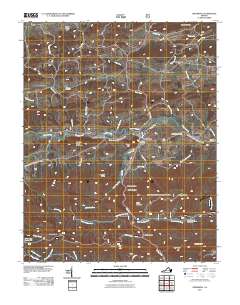
1939 Speedwell
Wythe County, VA
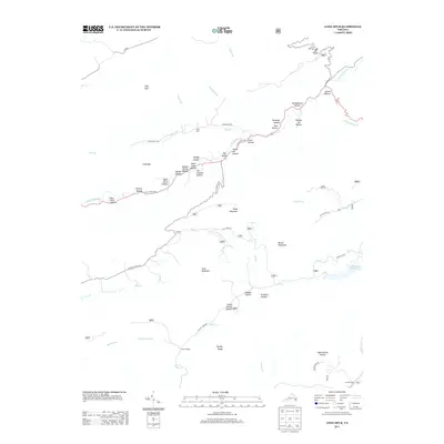
1965 Fosters Falls
Wythe County, VA
1965 Long Spur
Wythe County, VA
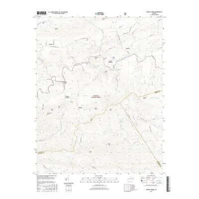
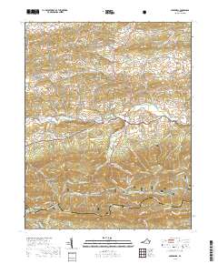
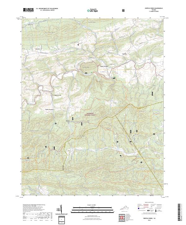
1968 Cripple Creek
Wythe County, VA
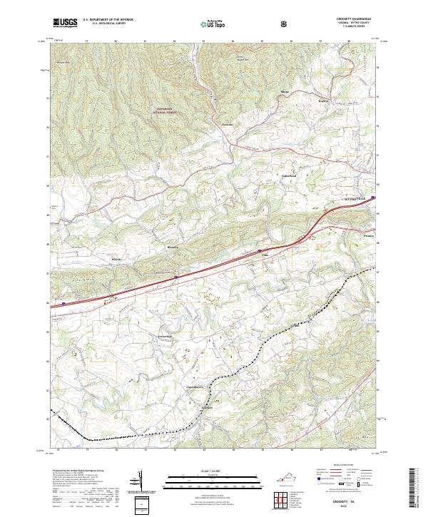
1968 Crockett
Wythe County, VA
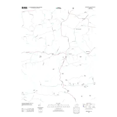
1968 Speedwell
Wythe County, VA
2011 Cripple Creek
Wythe County, VA
2011 Crockett
Wythe County, VA
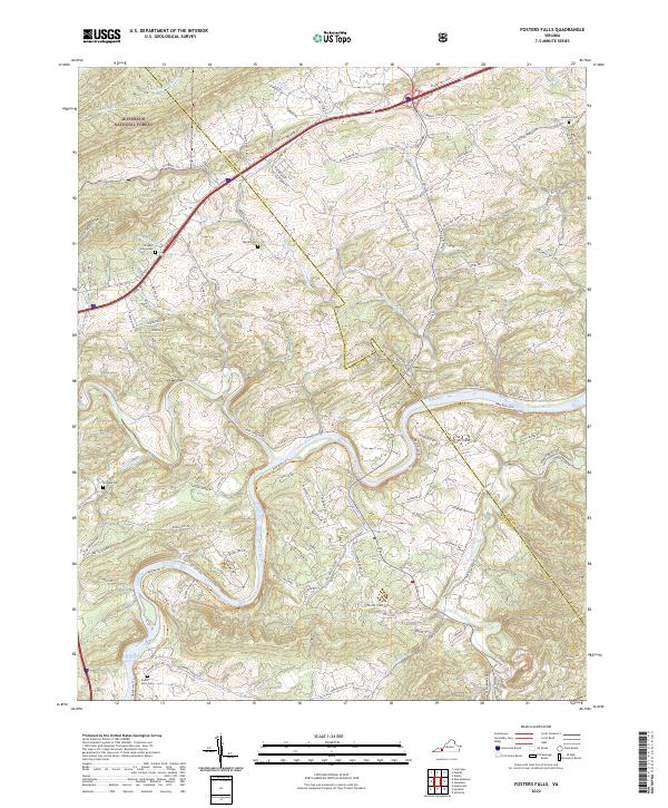
2011 Fosters Falls
Wythe County, VA
2011 Long Spur
Wythe County, VA
2011 Speedwell
Wythe County, VA
2013 Cripple Creek
Wythe County, VA
2013 Crockett
Wythe County, VA
2013 Fosters Falls
Wythe County, VA
2013 Long Spur
Wythe County, VA
2013 Speedwell
Wythe County, VA
2016 Cripple Creek
Wythe County, VA
2016 Crockett
Wythe County, VA
2016 Fosters Falls
Wythe County, VA
2016 Long Spur
Wythe County, VA
2016 Speedwell
Wythe County, VA
2019 Cripple Creek
Wythe County, VA
2019 Crockett
Wythe County, VA
2019 Fosters Falls
Wythe County, VA
2019 Long Spur
Wythe County, VA
2019 Speedwell
Wythe County, VA
2022 Cripple Creek
Wythe County, VA
2022 Crockett
Wythe County, VA
2022 Fosters Falls
Wythe County, VA
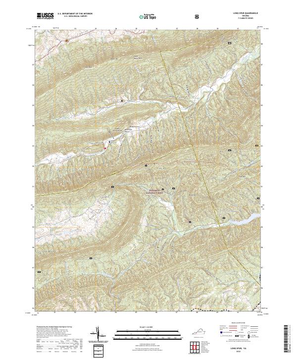
2022 Long Spur
Wythe County, VA
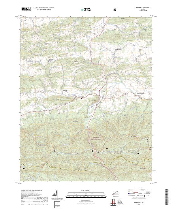
2022 Speedwell
Wythe County, VA