2010s Maps of Greensville County, Virginia
Explore 56 historic maps of Greensville County from the 2010s. These maps offer a rare glimpse into what life looked like during the 2010s — showing old roads, neighborhoods, homes, and landmarks that have changed or disappeared over time.
Whether you're researching your family's past, planning a metal detecting trip, or studying how Greensville County's landscape evolved across the 2010s, these high-resolution maps are a powerful tool for exploring the history of this region.
- Focus on a specific era: All maps on this page are from the 2010s, giving you a focused view of this time period.
- See what’s changed: Compare century-old streets, trails, and buildings to today's modern landscape using overlays and satellite layers.
- Research with precision: Use these maps for genealogy, historical research, land use analysis, or educational projects.
- View, download, or print: Maps are fully viewable online in high resolution, and can be downloaded or printed for your own records.
Start exploring Greensville County's history through authentic maps from the 2010s. This is your window into the past.
Greensville County, VA maps
(56)- 2010 Map of Purdy, 2010 Print
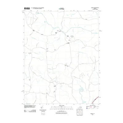 2010 Purdy2010 Print · USGSGreensville County at the dawn of the 2010s retains its deep agricultural and community roots. Researchers can trace family sites from Cowie Corner to Purdy, including historic burial grounds like Trisvan Cemetery and the Jackson-Field Episcopal Home.
 - 2010 Map of Barley, 2010 Print
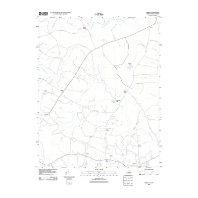 2010 Barley2010 Print · USGSThe rural borderlands of North Carolina and Virginia come into focus at the dawn of the millennium. Genealogists and local historians can trace family roots at Rook Cemetery and Garners Mill, or explore crossroads like Paris Store and Gum Forks.
 - 2010 Map of McKenney, 2010 Print
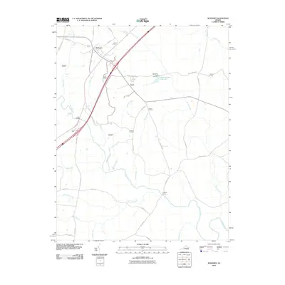 2010 McKenney2010 Print · USGSThe rural landscape of Dinwiddie County comes into focus at the start of the 21st century, centered on the settlement of McKenney. Genealogists and local historians can trace family ties through numerous burial sites like Big Bethel Cemetery, Sapony Cemetery, and Madison Cemetery.
 - 2010 Map of Skippers, 2010 Print
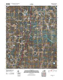 2010 Skippers2010 Print · USGSGreensville County at the start of the 21st century reveals a landscape of historic crossroads and family cemeteries. Genealogy researchers can locate the Wyche and Vincent burial grounds near Turners Crossroads or trace the waters of Fountains Creek.
 - 2010 Map of Smoky Ordinary, 2010 Print
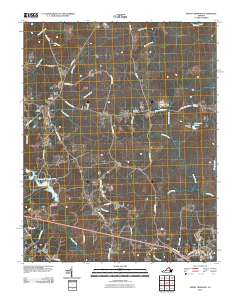 2010 Smoky Ordinary2010 Print · USGSBrunswick County’s rural crossroads and winding creeks are documented here in the early twenty-first century. Genealogists and local historians can trace family locations near Poarch Store, Raney Cemetery, and the historic community of Callaville.
 - 2010 Map of Margarettsville, 2010 Print
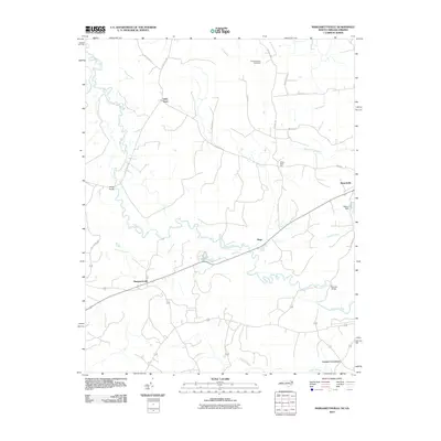 2010 Margarettsville2010 Print · USGSThe North Carolina and Virginia border comes alive in this 2010 study of the rural coastal plain. Genealogists and local historians can trace family-named sites and small communities from Margarettsville to Branchville, while locating landmarks like Southampton Speedway and Bishop Dam.
 - 2010 Map of Adams Grove, 2010 Print
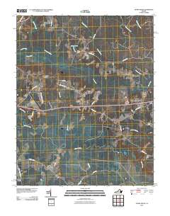 2010 Adams Grove2010 Print · USGSSouthampton County’s rural wetlands and small settlements are preserved here in the early twenty-first century. Researchers can trace family-named sites like Green Plain and Grizzard, or locate historic burials at the Pleasant Grove Cemetery near Adams Grove.
 - 2010 Map of Drewryville, 2010 Print
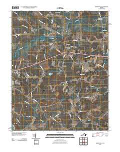 2010 Drewryville2010 Print · USGSCoastal plain settlements in Southampton County are shown here at the turn of the millennium, characterized by a complex network of wetlands and rural homesteads. Genealogists and historians can trace local landmarks like Pleasant Plain Memorial Cemetery and the winding course of Three Creek and the Meherrin River.
 - 2010 Map of Claresville, 2010 Print
 2010 Claresville2010 Print · USGSThe Virginia-North Carolina borderlands near the turn of the twenty-first century reveal a landscape of managed waterways and rural crossroads. Local historians can trace the network of creek-side roads and settlements like Claresville, Bryants Corner, and Turners Crossroads.
 - 2010 Map of Cherry Hill, 2010 Print
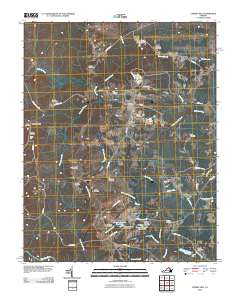 2010 Cherry Hill2010 Print · USGSMount Olivet and the surrounding Dinwiddie County countryside are documented here in the early twenty-first century. Researchers can trace numerous family burial sites such as Galusha Cemetery and Abernathy Cemetery, or locate historic local hubs like Bolsters Store.
 - 2010 Map of Emporia, 2010 Print
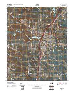 2010 Emporia2010 Print · USGSEmporia and its surrounding Southside Virginia neighborhoods are documented here during a period of steady modern growth. Researchers can locate specific family landmarks such as Southern Grove Farms and old burial grounds like Round Hill Cemetery and Cottage Cemetery.
 - 2010 Map of Ante, 2010 Print
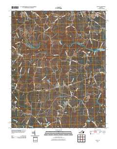 2010 Ante2010 Print · USGSAnte and the surrounding Brunswick County countryside are captured here in the early twenty-first century as a landscape of river bends and quiet crossroads. Researchers can trace family history through several local landmarks like New Hope Zion Cemetery, Webbs Mill, and Harris Crossroads.
 - 2011 Map of Valentines, 2011 Print
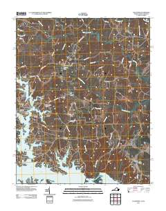 2011 Valentines2011 Print · USGSThe Virginia and North Carolina borderlands come alive in this survey of the Lake Gaston waterfront and its surrounding rural communities. Researchers can trace the development of residential sites like Pea Hill Shores alongside old post offices and crossroads such as Valentines and Triplet.
 - 2011 Map of Jarratt, 2011 Print
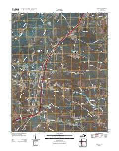 2011 Jarratt2011 Print · USGSThe Jarratt region of Southside Virginia is captured here in the early twenty-first century, showing the intersection of modern infrastructure and traditional rural industry. Researchers can trace local heritage through sites like Harrells Mill, High Hills Cemetery, and the historic Nottoway River crossings.
 - 2013 Map of Margarettsville, 2013 Print
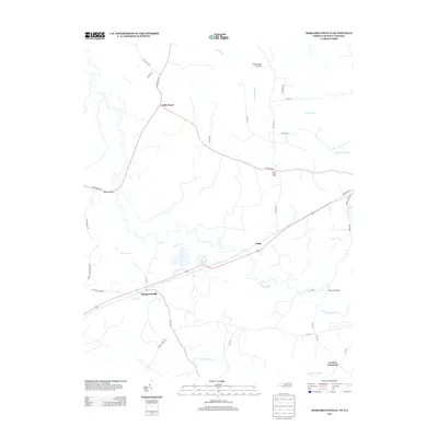 2013 Margarettsville2013 Print · USGSThe North Carolina and Virginia borderlands are revealed in this modern survey, showing a landscape defined by the winding Meherrin River. Genealogists and local historians can trace family-named routes and small communities like Margarettsville, Little Texas, and White Head Hall.
 - 2013 Map of Purdy, 2013 Print
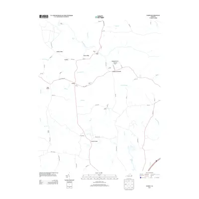 2013 Purdy2013 Print · USGSGreensville County’s rural interior is documented here in the early 2000s, centered on the riverine landscape of the Nottoway River. Researchers can locate legacy family properties like Orion Vue Farm, the Jackson-Field Episcopal Home, and historic crossroads at Purdy and Cowie Corner.
 - 2013 Map of Jarratt, 2013 Print
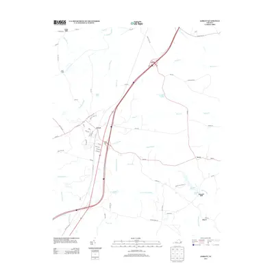 2013 Jarratt2013 Print · USGSCoastal plain wetlands and small crossroads communities define this portion of Southside Virginia in the early twenty-first century. Genealogists and local historians can trace the geography around Jarratt, Henry, and the historic site of Harrells Mill.
 - 2013 Map of Valentines, 2013 Print
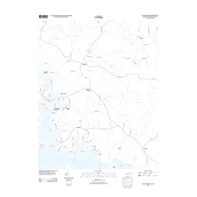 2013 Valentines2013 Print · USGSThe Virginia and North Carolina borderlands come into focus in the early 2010s, centered on the residential growth around Lake Gaston. Researchers can trace the development of waterfront communities like Pea Hill Shores and rural outposts such as Valentines and Henrico.
 - 2013 Map of Ante, 2013 Print
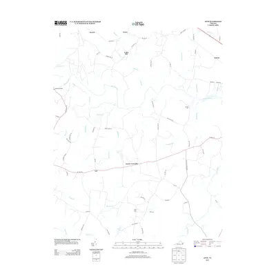 2013 Ante2013 Print · USGSSouthern Brunswick County is documented here in the early twenty-first century, showing a landscape defined by the Meherrin River and historic rural hamlets. Local historians can trace family-named sites and early crossroads such as Webbs Mill, Harris Crossroads, and the unique Dry Bread Rd.
 - 2013 Map of Smoky Ordinary, 2013 Print
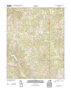 2013 Smoky Ordinary2013 Print · USGSBrunswick County in the early twenty-first century remains a landscape of historic crossroads and winding stream branches. Genealogists and local historians can trace family-named roads and rural hubs like Poarch Store, Callaville, and the uniquely named Smoky Ordinary.
 - 2013 Map of Claresville, 2013 Print
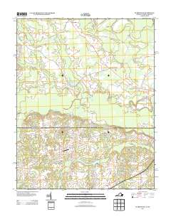 2013 Claresville2013 Print · USGSThe Virginia-North Carolina border country appears here in the early twenty-first century, showing a landscape shaped by ancient swamps and rural commerce. Local historians can trace the paths between Claresville, Bryants Corner, and the Glover Airport while navigating family landmarks like Bryants Millpond.
 - 2013 Map of Drewryville, 2013 Print
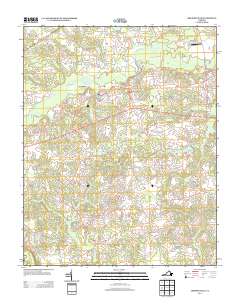 2013 Drewryville2013 Print · USGSIn the early 21st century, this corner of Southampton County remains a landscape of historic rural roads and vast wetland systems. Genealogists and local historians can trace family land proximity to features like Drewryville, Arringdale, and the uniquely named Bellyache Swamp.
 - 2013 Map of Barley, 2013 Print
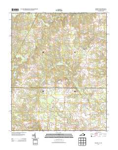 2013 Barley2013 Print · USGSThe borderlands of North Carolina and Virginia are documented here during a period of steady rural continuity. Genealogists and local historians can trace the road networks connecting Gaston to old sites like Garners Mill, Paris Store, and Slates Corner.
 - 2013 Map of Cherry Hill, 2013 Print
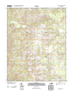 2013 Cherry Hill2013 Print · USGSMount Olivet and the rural reaches of Dinwiddie County are shown in the early twenty-first century, featuring a landscape of swamps, ponds, and country crossroads. Genealogists can trace family-named locations such as Truit, Mayes Pond, and Parsons Number One Pond.
 - 2013 Map of Adams Grove, 2013 Print
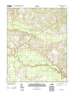 2013 Adams Grove2013 Print · USGSSouthampton County during the early twenty-first century reveals a landscape of deep-rooted rural settlements interwoven with extensive wetlands. Genealogists and local historians can trace family-named roads and landmarks like Grizzard, Adams Grove, and the distinctive Bellyache Swamp.
Showing maps 1-25 of 56
Frequently asked questions
- What are the different types of historical maps available for Greensville County?
- What is the oldest map of Greensville County?
- Where can I purchase historical maps of Greensville County for my home or office?
- Where can I download high-res historical maps of Greensville County?
- Are there historical topographic maps available for Greensville County?
- Is there historical aerial imagery available for Greensville County?
- Where are historical maps of Greensville County sourced from?