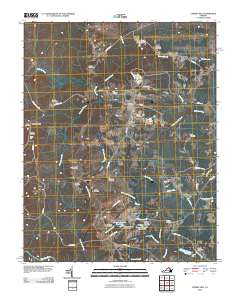
2010 Map of Cherry Hill
USGS Topo · Published 2010About this map
Mount Olivet and the surrounding rural landscapes of Dinwiddie County are defined by a network of family-named cemeteries and narrow creek branches in this 2010 survey. The terrain is structured by winding local routes like Sappony Church Rd and Cherry Hill Rd, connecting small settlements such as Truit and Bolsters Store. This area preserves a significant genealogical record through numerous small burial grounds, including the Galusha Cemetery, Abernathy Cemetery, and Boisseau Cemetery, often located near the headwaters of the Sappony Creek drainage system.
Find a feature on this map
61 named features on this map. Tap any name to fly to it.
Don’t see what you’re looking for? This feature index may not catch every label — zoom into the map to look around manually.
Map Details
Editions of this 2010 Cherry Hill Map
This is the sole edition of this map. No revisions or reprints were ever made.
Other maps of this area

1894 · Petersburg
USGS Topo · 1:62,500

1897 · Amelia
USGS Topo · 1:125,000

1919 · Jarratt
USGS Topo · 1:62,500

1919 · Mc Kenney
USGS Topo · 1:48,000

1921 · Mc Kenney
USGS Topo · 1:62,500

1943 · Mc Kenney
USGS Topo · 1:62,500

1943 · De Witt
USGS Topo · 1:24,000

1943 · Dinwiddie
USGS Topo · 1:24,000

1943 · Richmond
USGS Topo · 1:250,000

1944 · Reams
USGS Topo · 1:31,680