1940s Maps of Loudoun County, Virginia
Explore 28 historic maps of Loudoun County from the 1940s. These maps offer a rare glimpse into what life looked like during the 1940s — showing old roads, neighborhoods, homes, and landmarks that have changed or disappeared over time.
Whether you're researching your family's past, planning a metal detecting trip, or studying how Loudoun County's landscape evolved across the 1940s, these high-resolution maps are a powerful tool for exploring the history of this region.
- Focus on a specific era: All maps on this page are from the 1940s, giving you a focused view of this time period.
- See what’s changed: Compare century-old streets, trails, and buildings to today's modern landscape using overlays and satellite layers.
- Research with precision: Use these maps for genealogy, historical research, land use analysis, or educational projects.
- View, download, or print: Maps are fully viewable online in high resolution, and can be downloaded or printed for your own records.
Start exploring Loudoun County's history through authentic maps from the 1940s. This is your window into the past.
Loudoun County, VA maps
(28)- 1942 Map of Frederick
 1942 Frederick1942 Print · USGSMid-century Maryland's central corridor is centered on Frederick as it appeared before the modern interstate system. Researchers can trace the routes of the B & O Canal, locate the Montevue Almshouse, and see the intersection of the Northern Central RR with early turnpikes.
 - 1943 Map of Arcola, 1957 Print
 1943 Arcola1957 Print · USGSNorthern Virginia remains a landscape of quiet crossroads and family farms during the mid-1940s. Genealogists can trace rural life through landmarks like Watson Sch, Conklin Ch, and the small settlement of Lenah along the Lee-Jackson Memorial Highway.3 unique versions available
 - 1943 Map of Bluemont, 1960 Print
 1943 Bluemont1960 Print · USGSLoudoun County’s rural heritage is preserved here in the 1940s, showing the ridge-and-valley landscape before modern development. Genealogists can trace family roots through settlements like Unison and Willisville, and landmarks like Ebenezer Ch.
 - 1943 Map of Ashby Gap, 1961 Print
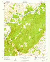 1943 Ashby Gap1961 Print · USGSThe Blue Ridge mountains and Shenandoah Valley meet in the early 1940s, showing a landscape of high ridges and winding river bends. Trace the path of the Appalachian Trail past Mt Weather or locate rural landmarks like Mt Carmel Ch and Millwood.
 - 1943 Map of Upperville, 1961 Print
 1943 Upperville1961 Print · USGSNorthern Virginia's Piedmont and Blue Ridge foothills are captured here during the early 1940s. Genealogists can trace family footprints at Upperville, Delaplane, and Markham, or locate landmarks like Pennys Hill Sch and the SOUTHERN rail line.
 - 1943 Map of Rectortown, 1961 Print
 1943 Rectortown1961 Print · USGSNorthern Virginia's Piedmont landscape is captured here during the early years of the Second World War. Researchers can trace the Southern railroad line through Rectortown or locate family history near Ivy Hill Cem and Atoka.
 - 1944 Map of Waterford
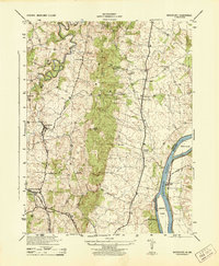 1944 Waterford1944 Print · USGSLoudoun County is shown in the mid-1940s as a landscape of rural villages and river commerce along the Maryland border. Researchers can trace the Washington and Old Dominion rail line and find landmarks like the Balls Bluff National Cemetery and Loyalty Store.
 - 1944 Map of Round Hill
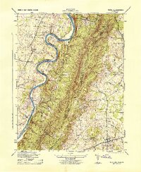 1944 Round Hill1944 Print · USGSThe Virginia and West Virginia borderlands are captured here during the mid-forties, showing the river-carved landscape of the Blue Ridge. Researchers can trace the path of the Appalachian Trail or locate local landmarks like Mountain Mission and Round Hill.
 - 1944 Map of Poolesville
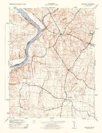 1944 Poolesville1944 Print · USGSMaryland's agricultural heartland and the Potomac riverfront are detailed here during the mid-1940s, just as the rural landscape began its modern shift. Researchers can trace the path of the Chesapeake and Ohio Canal and locate old crossroads at Beallsville, Poolesville, and Jerusalem.2 unique versions available
 - 1944 Map of Leesburg
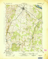 1944 Leesburg1944 Print · USGSLoudoun County, Virginia, is captured in the mid-1940s as a landscape of crossroads, mills, and riverside farms. Genealogists and historians can trace old homesteads and landmarks like Oatlands, the Prison Labor Camp No 2, and the C & O Canal (Abandoned).
 - 1944 Map of Fairfax
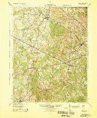 1944 Fairfax1944 Print · USGSNorthern Virginia at the height of the Second World War remains a landscape of rail-connected villages and rural schools. Genealogists and historians can trace family locations through landmarks like Oak Grove Store, Bear School, and the historic Washington and Old Dominion RR.
 - 1944 Map of Upperville
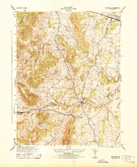 1944 Upperville1944 Print · USGSThe Fauquier County countryside during the mid-1940s shows a landscape of prominent ridges and rural crossroads. Genealogists and local historians can trace the paths between Delaplane and Markham, locating landmarks like Fleetwood Roller Mills and the Fennys Hill School.
 - 1944 Map of Buckeystown
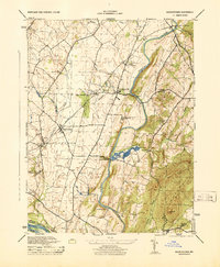 1944 Buckeystown1944 Print · USGSMid-century Frederick County comes alive through its rail-side hamlets and riverside mills during the 1940s. Genealogists and historians can trace the foundations of Buckeystown, locate the Buckingham School Orphanage, and follow the Baltimore and Ohio tracks through Adamstown.
 - 1944 Map of Bluemont
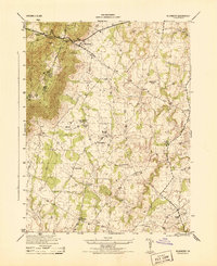 1944 Bluemont1944 Print · USGSLoudoun County is shown in the mid-1940s as a landscape of mountain gaps and established rural hamlets. Genealogists and researchers can trace the locations of Pine Grove School, Ebenezer Church, and the winding Appalachian Trail.
 - 1944 Map of Point Of Rocks
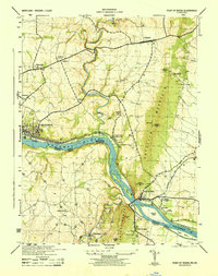 1944 Point Of Rocks1944 Print · USGSThe Potomac River corridor in the mid-1940s reveals a landscape defined by the parallel paths of the Baltimore and Ohio railroad and the historic Baltimore and Ohio Canal. Genealogists and historians can trace riverside settlements like Catoctin Sta (Lander P O) and rural landmarks such as Lewis Mill and St Marks Church.
 - 1944 Map of Lincoln
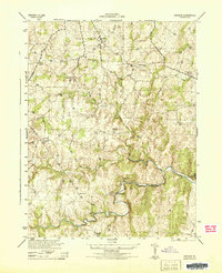 1944 Lincoln1944 Print · USGSLoudoun County’s rural Piedmont is captured in the mid-1940s during a period of agricultural and quarrying activity. Researchers can trace historic local sites such as Philomont, the Limestone Quarry, and the distinctive Suspension Foot Bridge over Goose Creek.
 - 1944 Map of Arcola
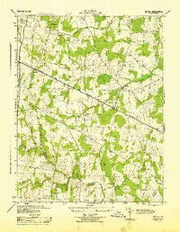 1944 Arcola1944 Print · USGSNorthern Virginia was a landscape of quiet crossroads and rural parishes during the mid-forties. Genealogists and local historians can trace family roots through landmarks like Watson-Sch, Mt Zion Ch, and the small settlement of Arcola.
 - 1944 Map of Berryville
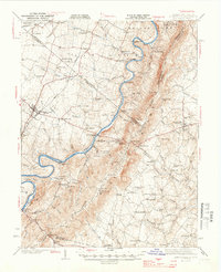 1944 Berryville1944 Print · USGSThe Virginia and West Virginia borderlands are captured here in the mid-1940s, showing the agricultural valley around Berryville meeting the steep Blue Ridge. Researchers can trace the path of the Appalachian Trail or locate vanished landmarks like Boyds Ferry and the Yellow Schoolhouse.
 - 1944 Map of Purcellville
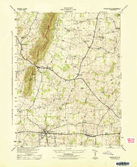 1944 Purcellville1944 Print · USGSLoudoun County is captured during the mid-forties, showing the agricultural landscape before the rapid growth of Northern Virginia. Genealogists can trace family footprints near Purcellville and Hamilton or locate rural landmarks like James Chapel and the Washington and Old Dominion line.
 - 1944 Map of Rectortown
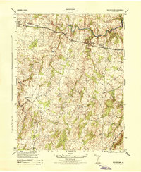 1944 Rectortown1944 Print · USGSFauquier and Loudoun counties are captured in the mid-1940s during a period of transition for northern Virginia's rural landscape. Researchers can trace the Southern rail corridor through Rectortown or locate family history at Ivy Hill Cemetery and the Milan Gristmill.
 - 1944 Map of Seneca
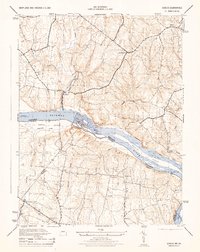 1944 Seneca1944 Print · USGSThe Potomac River valley and the Maryland-Virginia border are captured here during the mid-forties. Local historians can trace the Chesapeake and Ohio Canal and locate old crossroads like Darnestown, Quince Orchard, and Dranesville.2 unique versions available
 - 1944 Map of Charles Town
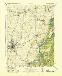 1944 Charles Town1944 Print · USGSThe Lower Shenandoah Valley comes alive mid-century as a hub of rail commerce and river industry. Trace family roots and local landmarks from Charles Town to the lime quarries of Bakerton, or locate rural sites like Zion Church and Skeetersville.
 - 1944 Map of Harpers Ferry
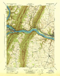 1944 Harpers Ferry1944 Print · USGSThe confluence of the Potomac and Shenandoah rivers is captured in the mid-1940s, showing a landscape defined by mountain gaps and rail corridors. Researchers can trace the Chesapeake and Ohio Canal (Abandoned) or locate local landmarks like Stoker College and Garretts Mill.
 - 1944 Map of Seneca, 1963 Print
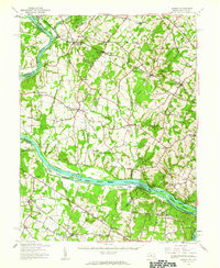 1944 Seneca1963 Print · USGSUpper Montgomery County and the Potomac River valley are captured here just before the expansion of the D.C. suburbs. Researchers can trace the legacy of river commerce and rail travel through the Chesapeake and Ohio Canal, the Monocacy Aqueduct, and the Baltimore and Ohio RR line.
 - 1944 Map of Martinsburg, 1964 Print
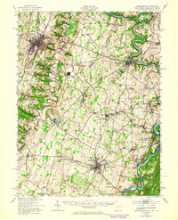 1944 Martinsburg1964 Print · USGSThe West Virginia Panhandle is captured during the mid-1940s, revealing a landscape of vital rail junctions and Potomac River crossings. Genealogists and historians can trace the foundations of Shepherdstown and Martinsburg, alongside landmarks like Martin Chapel and the Newton D Baker General Hospital.
Showing maps 1-25 of 28
Top cities of Loudoun County
- Leesburg historical maps
- Ashburn historical maps
- South Riding historical maps
- Sterling historical maps
- Brambleton historical maps
- Stone Ridge historical maps
See more
Frequently asked questions
- What are the different types of historical maps available for Loudoun County?
- What is the oldest map of Loudoun County?
- Where can I purchase historical maps of Loudoun County for my home or office?
- Where can I download high-res historical maps of Loudoun County?
- Are there historical topographic maps available for Loudoun County?
- Is there historical aerial imagery available for Loudoun County?
- Where are historical maps of Loudoun County sourced from?