2000s (21st Century) Maps of Loudoun County, Virginia
Explore 100 historic maps of Loudoun County from the 2000s (21st Century). These maps offer a rare glimpse into what life looked like during the 2000s — showing old roads, neighborhoods, homes, and landmarks that have changed or disappeared over time.
Whether you're researching your family's past, planning a metal detecting trip, or studying how Loudoun County's landscape evolved across the 2000s, these high-resolution maps are a powerful tool for exploring the history of this region.
- Focus on a specific era: All maps on this page are from the 2000s, giving you a focused view of this time period.
- See what’s changed: Compare century-old streets, trails, and buildings to today's modern landscape using overlays and satellite layers.
- Research with precision: Use these maps for genealogy, historical research, land use analysis, or educational projects.
- View, download, or print: Maps are fully viewable online in high resolution, and can be downloaded or printed for your own records.
Start exploring Loudoun County's history through authentic maps from the 2000s. This is your window into the past.
Loudoun County, VA maps
(100)- 2010 Map of Lincoln, 2010 Print
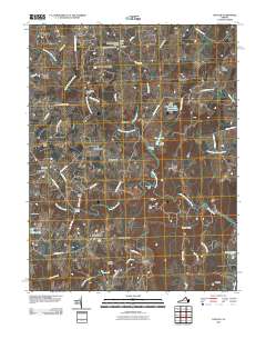 2010 Lincoln2010 Print · USGSLoudoun County’s rural landscape at the start of the 2010s remains a network of historic hamlets and family farmsteads. Genealogists and historians can trace local roots through Goose Creek Burying Ground, the Philomont Post Office, and New Guinea Bridge.
 - 2010 Map of Gainesville, 2010 Print
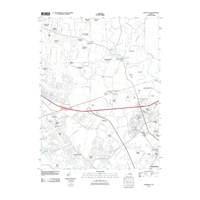 2010 Gainesville2010 Print · USGSGainesville and the surrounding Prince William County countryside are shown here at a time of significant residential growth amidst deeply rooted historical landmarks. Researchers can locate family heritage sites like the Taliaferro/Carter Family Cemetery and trace the landscape around Henry Hill or the Stone Bridge.
 - 2010 Map of Upperville, 2010 Print
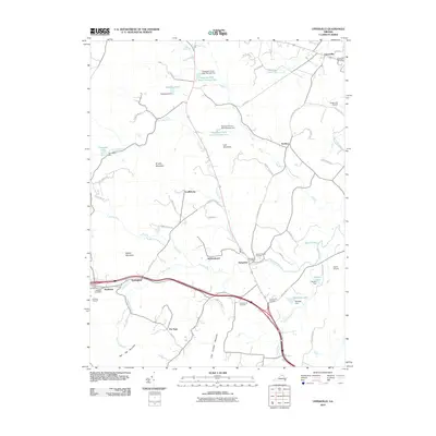 2010 Upperville2010 Print · USGSIn the horse country of the Virginia Piedmont during the early twenty-first century, this landscape shows a network of historic villages and mountain ridges. Trace family history and land use through Stribling Orchard, Cool Spring Cemetery, and the old crossroads at Delaplane.
 - 2010 Map of Rectortown, 2010 Print
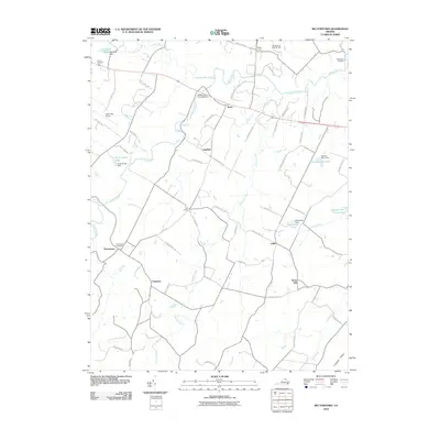 2010 Rectortown2010 Print · USGSFauquier County’s horse country and historic hamlets are preserved in this 2010 survey of the Piedmont. Researchers can locate family landmarks and rural crossroads like Rectortown, Frogtown, and the historic Goose Creek Stone Bridge.
 - 2010 Map of Herndon, 2010 Print
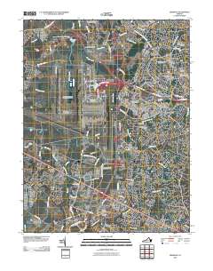 2010 Herndon2010 Print · USGSFairfax and Loudoun Counties are shown at a peak of suburban and commercial expansion at the start of the 21st century. Researchers can locate long-standing landmarks like Sully Plantation alongside the sprawling infrastructure of Washington Dulles International Airport.
 - 2010 Map of Middleburg, 2010 Print
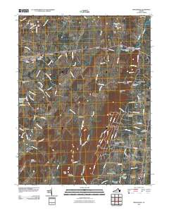 2010 Middleburg2010 Print · USGSLoudoun and Prince William counties are captured in this 2010 survey of the area surrounding Middleburg and Aldie. Genealogists and historians can locate legacy sites like Aldie Mill, the Mount Pleasant Cemetery, and the historic State Prison Camp Number 26.
 - 2010 Map of Arcola, 2010 Print
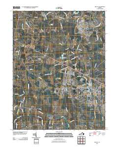 2010 Arcola2010 Print · USGSLoudoun County is shown in a state of rapid suburban growth during the early 2000s, balancing new subdivisions with long-standing rural landmarks. Trace the evolution of places like South Riding and Arcola alongside sites like Mount Zion Cemetery.
 - 2010 Map of Purcellville, 2010 Print
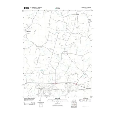 2010 Purcellville2010 Print · USGSLoudoun County’s agricultural heartland and growing towns are captured here at the start of the 2010s. Genealogists and historians can trace family plots at Lakeview or Harmony and locate landmarks like Crooked Run Orchard or the Purcellville Post Office.
 - 2010 Map of Bluemont, 2010 Print
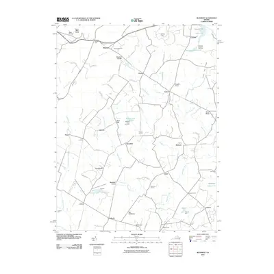 2010 Bluemont2010 Print · USGSWestern Loudoun County near the Blue Ridge mountains remained a landscape of historic hamlets and country estates at the start of the 2010s. Researchers can trace family-named sites and rural crossroads like Unison, Bluemont, and the Ebenezer Cemetery.
 - 2010 Map of Ashby Gap, 2010 Print
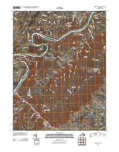 2010 Ashby Gap2010 Print · USGSThe Shenandoah River and the slopes of the Blue Ridge define this portion of Clarke County during the early 21st century. Historians can trace local landmarks like Castlemans Ferry, the village of Paris, and the strategic crossing at Ashby Gap.
 - 2010 Map of Round Hill, 2010 Print
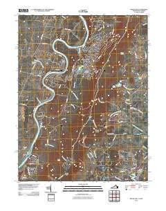 2010 Round Hill2010 Print · USGSThe Virginia and West Virginia borderlands are shown here in the early twenty-first century as the Blue Ridge meets the Shenandoah Valley. Researchers can locate the Kabletown Churchyard Cemetery, trace the Appalachian Trail Rd, and find old sites like Clips Mill and the Round Hill Post Office.
 - 2011 Map of Point of Rocks, 2011 Print
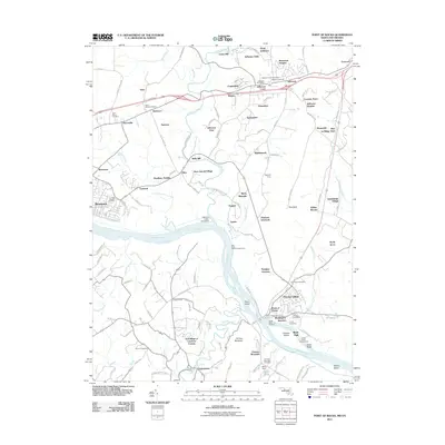 2011 Point of Rocks2011 Print · USGSMaryland's riverfront heritage is on full display here as the Potomac corridor passes through Frederick County in the early twenty-first century. Researchers can trace ancestral sites like Saint Pauls Cemetery or explore landmarks of the old river economy such as the Catoctin Creek Aqueduct and Lewis Mill.
 - 2011 Map of Buckeystown, 2011 Print
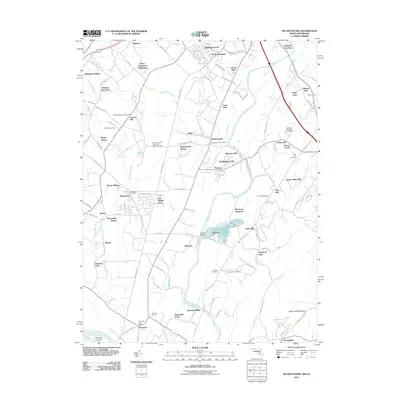 2011 Buckeystown2011 Print · USGSMaryland's Monocacy River valley remains a blend of historic hamlets and modern growth in the early twenty-first century. Genealogists can trace family roots through several burial sites including Flint Hill Cemetery and Hope Hill Cemetery.
 - 2011 Map of Seneca, 2011 Print
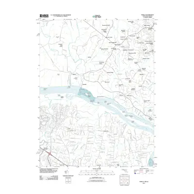 2011 Seneca2011 Print · USGSThe Potomac River corridor at the start of the 2010s shows a landscape where suburban expansion meets preserved river history. Researchers can trace the Seneca Aqueduct and Seneca Quarry, or locate family sites near the Darnestown United Presbyterian Cemetery.
 - 2011 Map of Sterling, 2011 Print
 2011 Sterling2011 Print · USGSNorthern Virginia undergoes significant suburban expansion in this early 2000s study of the Loudoun County corridor. Researchers can trace the development of planned communities like Ashburn Village alongside landmarks like Redskins Park and Belmont Chapel.
 - 2011 Map of Waterford, 2011 Print
 2011 Waterford2011 Print · USGSLoudoun County at the start of the 2010s reveals a landscape rich in Civil War history and Potomac River crossings. Researchers can trace local heritage through sites like Balls Bluff Battlefield, Whites Ferry, and the Waterford Cemetery.
 - 2011 Map of Charles Town, 2011 Print
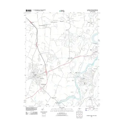 2011 Charles Town2011 Print · USGSCharles Town and the lower Shenandoah Valley are shown here in the early twenty-first century, capturing a landscape of racing history and river commerce. Genealogists and historians can trace family locations through Zion Cemetery, old post offices in Halltown, and the grounds of the Charles Town Racetrack.
 - 2011 Map of Poolesville, 2011 Print
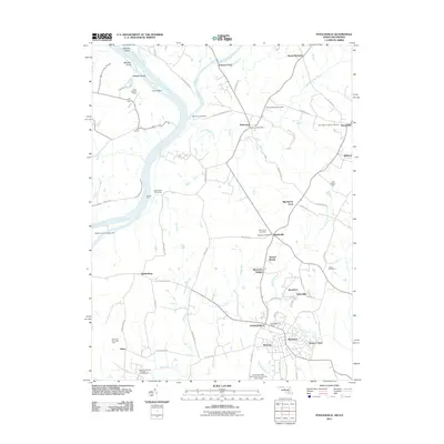 2011 Poolesville2011 Print · USGSUpper Montgomery County thrives as a rural corridor in 2011, where the Potomac and Monocacy Rivers meet. Genealogists and local historians can trace legacy land tracts and crossroads from Elizabeths Delight to the Monocacy Aqueduct and the Monocacy Cemetery.
 - 2011 Map of Harpers Ferry, 2011 Print
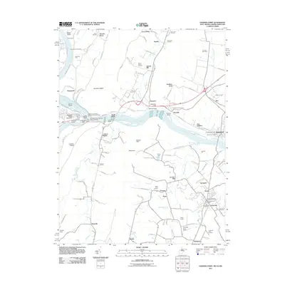 2011 Harpers Ferry2011 Print · USGSHarpers Ferry and the surrounding river gaps are shown here in the early 21st century at the meeting of three states. Local historians can trace the Chesapeake and Ohio Canal, industrial sites like Garretts Mill, and numerous burial sites including the Old Lovettsville Cemetery.
 - 2011 Map of Leesburg, 2011 Print
 2011 Leesburg2011 Print · USGSLeesburg and the surrounding Piedmont area of Loudoun County appear in this modern survey during a period of significant growth. Genealogists can locate several historic burial sites like Old Saint James Cemetery or trace landmarks such as Oatlands and Evergreen Mills.
 - 2013 Map of Waterford, 2013 Print
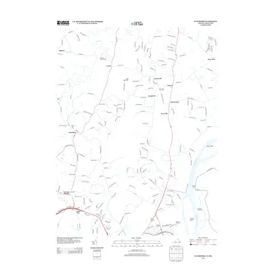 2013 Waterford2013 Print · USGSLoudoun County is shown in detail as it appeared in the early 2010s, centered on the village of Waterford. Researchers can trace local heritage at the Balls Bluff Battlefield, locate family roots near Paeonian Springs, or study river crossings like Whites Ferry.
 - 2013 Map of Ashby Gap, 2013 Print
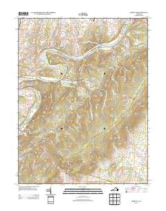 2013 Ashby Gap2013 Print · USGSThe Blue Ridge landscape of northern Virginia is captured here in the early twenty-first century as it rises from the Shenandoah River. Researchers can trace the legacy of river crossings and mountain gaps at Castlemans Ferry, Lockes Landing, and Ashby Gap.
 - 2013 Map of Round Hill, 2013 Print
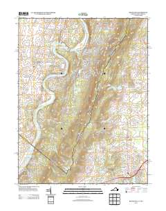 2013 Round Hill2013 Print · USGSThe Shenandoah River valley and Blue Ridge foothills meet in this contemporary survey of the West Virginia and Virginia border. Genealogists and local historians can trace family-named sites like Tom Painter Farm Spring and settlements such as Shannondale or Shenandoah Retreat.
 - 2013 Map of Purcellville, 2013 Print
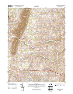 2013 Purcellville2013 Print · USGSLoudoun County's horse country and historic crossroads are captured here in the early twenty-first century. Researchers can trace family estates and rural hamlets from Hillsboro to Hamilton, while identifying local landmarks like Crooked Run Orchard and Milltown.
 - 2013 Map of Bluemont, 2013 Print
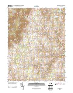 2013 Bluemont2013 Print · USGSLoudoun County’s agricultural heartland is documented here in the early twenty-first century, showing the transition from the Blue Ridge slopes to the Piedmont. Genealogists and historians can trace family-named locales like Murphys Corner, Willisville, and Dishmans Corner.
Showing maps 1-25 of 100
Top cities of Loudoun County
- Leesburg historical maps
- Ashburn historical maps
- South Riding historical maps
- Sterling historical maps
- Brambleton historical maps
- Stone Ridge historical maps
See more
Frequently asked questions
- What are the different types of historical maps available for Loudoun County?
- What is the oldest map of Loudoun County?
- Where can I purchase historical maps of Loudoun County for my home or office?
- Where can I download high-res historical maps of Loudoun County?
- Are there historical topographic maps available for Loudoun County?
- Is there historical aerial imagery available for Loudoun County?
- Where are historical maps of Loudoun County sourced from?