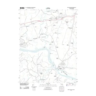
2011 Map of Point of Rocks
USGS Topo · Published 2011About this map
The Potomac River corridor serves as the central artery for this part of Frederick County, where the historic crossroads at Point of Rocks meets the water. Settlement patterns here reflect a deep connection to both agriculture and the river, with numerous small communities like Petersville, Rosemont, and the larger center of Brunswick defining the landscape. The inclusion of the Catoctin Creek Aqueduct and Indian Town Landing highlights the historical significance of the waterway as a conduit for transport and trade.
Find a feature on this map
137 named features on this map. Tap any name to fly to it.
Don’t see what you’re looking for? This feature index may not catch every label — zoom into the map to look around manually.
Map Details
Editions of this 2011 Point of Rocks Map
This is the sole edition of this map. No revisions or reprints were ever made.
Other maps of this area

1884 · Harpers Ferry
USGS Topo · 1:125,000

1891 · Harpers Ferry
USGS Topo · 1:125,000

1893 · Frederick
USGS Topo · 1:125,000

1893 · Harpers Ferry
USGS Topo · 1:125,000

1894 · Frederick
USGS Topo · 1:125,000

1908 · Middletown
USGS Topo · 1:48,000

1908 · Seneca
USGS Topo · 1:62,500

1908 · Ijamsville
USGS Topo · 1:62,500

1909 · Ijamsville
USGS Topo · 1:62,500

1910 · Antietam
USGS Topo · 1:62,500