1960s Maps of Loudoun County, Virginia
Explore 10 historic maps of Loudoun County from the 1960s. These maps offer a rare glimpse into what life looked like during the 1960s — showing old roads, neighborhoods, homes, and landmarks that have changed or disappeared over time.
Whether you're researching your family's past, planning a metal detecting trip, or studying how Loudoun County's landscape evolved across the 1960s, these high-resolution maps are a powerful tool for exploring the history of this region.
- Focus on a specific era: All maps on this page are from the 1960s, giving you a focused view of this time period.
- See what’s changed: Compare century-old streets, trails, and buildings to today's modern landscape using overlays and satellite layers.
- Research with precision: Use these maps for genealogy, historical research, land use analysis, or educational projects.
- View, download, or print: Maps are fully viewable online in high resolution, and can be downloaded or printed for your own records.
Start exploring Loudoun County's history through authentic maps from the 1960s. This is your window into the past.
Loudoun County, VA maps
(10)- 1961 Map of Washington
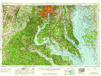 1961 Washington1961 Print · USGSThe mid-Atlantic region in the late fifties is presented in remarkable detail, from the Blue Ridge foothills to the Chesapeake Eastern Shore. Researchers can trace historic river landings and military sites like Mount Vernon, Fort Belvoir, and Point Lookout.2 unique versions available
 - 1961 Map of Baltimore
 1961 Baltimore1961 Print · USGSMaryland and Pennsylvania are captured at a mid-century peak of industrial and military expansion. Genealogists and historians can trace rail corridors like the Western Maryland Ry or locate regional landmarks such as Camp Detrick and Kent Island.
 - 1966 Map of Herndon, 1967 Print
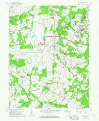 1966 Herndon1967 Print · USGSNorthern Virginia undergoes a massive transition in the mid-sixties as federal infrastructure meets traditional rural settlements. Researchers can trace the footprint of the new Dulles International Airport alongside older sites like Sully Plantation and Cooktown.4 unique versions available
 - 1968 Map of Gainesville, 1970 Print
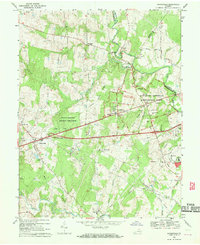 1968 Gainesville1970 Print · USGSGainesville and the surrounding Prince William County countryside are captured here in the late sixties, just as modern infrastructure began to meet the area's deep Civil War legacy. Local historians can locate the Stone Bridge and Dogan House on the battlefield, or trace family landmarks like Mt Calvary Ch and Sudley Springs.6 unique versions available
 - 1968 Map of Sterling, 1970 Print
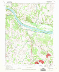 1968 Sterling1970 Print · USGSLoudoun County underwent a period of significant growth in the late sixties as residential subdivisions began to appear alongside the Potomac. Genealogists and historians can trace the transition from rural to suburban by locating Sterling Park, St Pauls Ch, and the abandoned rail line through Ashburn Junction.4 unique versions available
 - 1968 Map of Leesburg, 1970 Print
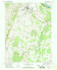 1968 Leesburg1970 Print · USGSLoudoun County is captured in the late sixties as a pastoral landscape on the verge of change. Genealogists and local historians can trace family-named landmarks and historic hubs like Oatlands, Evergreen Mills, and Leesburg.5 unique versions available
 - 1968 Map of Seneca, 1970 Print
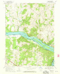 1968 Seneca1970 Print · USGSThe Potomac River borderlands in the late sixties reveal a landscape of river islands and growing crossroads communities. Researchers can trace the Chesapeake and Ohio Canal Towpath or locate family sites near Salem Ch and Darnestown.4 unique versions available
 - 1968 Map of Middleburg, 1970 Print
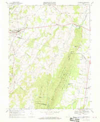 1968 Middleburg1970 Print · USGSNorthern Virginia's equestrian heartland and the rocky ridges of the Bull Run Mountains appear here in the late sixties. Researchers can locate several burial grounds like Sharon Cemetery and historic rural hubs such as Aldie and Halfway.3 unique versions available
 - 1968 Map of Arcola, 1970 Print
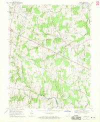 1968 Arcola1970 Print · USGSLoudoun County remains largely rural in the late sixties, just as the influence of the nearby capital begins to expand. Researchers can trace old family sites and transit routes through Arcola, Gilberts Corner, and the historic Braddock Road, or locate Mt Zion Ch and the State Prison Camp No 26.5 unique versions available
 - 1969 Map of Harpers Ferry, 1971 Print
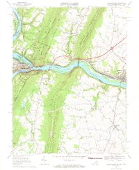 1969 Harpers Ferry1971 Print · USGSThe Potomac and Shenandoah rivers converge at the turn of the 1970s, marking the historic meeting point of Maryland, Virginia, and West Virginia. Trace the remnants of the Chesapeake and Ohio Canal, the route of the Baltimore and Ohio Railroad, and rural family sites like Garretts Mill.3 unique versions available
End of results
Showing maps 1-10 of 10
Top cities of Loudoun County
- Leesburg historical maps
- Ashburn historical maps
- South Riding historical maps
- Sterling historical maps
- Brambleton historical maps
- Stone Ridge historical maps
See more
Frequently asked questions
- What are the different types of historical maps available for Loudoun County?
- What is the oldest map of Loudoun County?
- Where can I purchase historical maps of Loudoun County for my home or office?
- Where can I download high-res historical maps of Loudoun County?
- Are there historical topographic maps available for Loudoun County?
- Is there historical aerial imagery available for Loudoun County?
- Where are historical maps of Loudoun County sourced from?