1990s Maps of Loudoun County, Virginia
Explore 9 historic maps of Loudoun County from the 1990s. These maps offer a rare glimpse into what life looked like during the 1990s — showing old roads, neighborhoods, homes, and landmarks that have changed or disappeared over time.
Whether you're researching your family's past, planning a metal detecting trip, or studying how Loudoun County's landscape evolved across the 1990s, these high-resolution maps are a powerful tool for exploring the history of this region.
- Focus on a specific era: All maps on this page are from the 1990s, giving you a focused view of this time period.
- See what’s changed: Compare century-old streets, trails, and buildings to today's modern landscape using overlays and satellite layers.
- Research with precision: Use these maps for genealogy, historical research, land use analysis, or educational projects.
- View, download, or print: Maps are fully viewable online in high resolution, and can be downloaded or printed for your own records.
Start exploring Loudoun County's history through authentic maps from the 1990s. This is your window into the past.
Loudoun County, VA maps
(9)- 1994 Map of Gainesville, 1998 Print
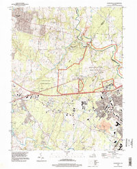 1994 Gainesville1998 Print · USGSNorthern Virginia in the late nineties shows a landscape where suburban growth meets the commemorative grounds of Manassas National Battlefield Park. Researchers can trace the legacy of the region through landmarks like the Groveton Confederate Cem and the Norfolk Southern rail line.
 - 1994 Map of Sterling, 1998 Print
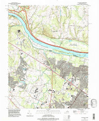 1994 Sterling1998 Print · USGSLoudoun County underwent significant suburban expansion in the mid-nineties as traditional farms gave way to modern residential corridors. Researchers can trace this growth from Sterling to Ashburn Junction, while locating historical features like the W & O D Trail and Selden Island.
 - 1994 Map of Leesburg, 1998 Print
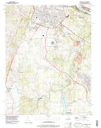 1994 Leesburg1998 Print · USGSLeesburg and the surrounding Loudoun County countryside are captured here in the mid-1990s as the region balanced its rural roots with modern growth. Researchers can trace historic sites like Oatlands and Balls Bluff Battlefield Regional Park alongside the emerging W&OD Trail.
 - 1994 Map of Seneca, 1998 Print
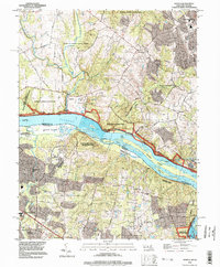 1994 Seneca1998 Print · USGSThe Potomac River corridor in the mid-1990s showcases a landscape where historical navigation and modern conservation meet. Researchers can trace the path of the Chesapeake and Ohio Canal Towpath and locate local landmarks like Dranesville Tavern Park and Arnon Ch.
 - 1994 Map of Herndon, 1998 Print
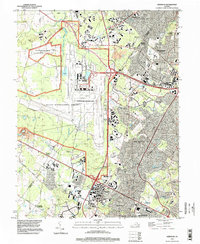 1994 Herndon1998 Print · USGSNorthern Virginia undergoes a period of intense suburban and infrastructure growth during the mid-nineties. Genealogists and local historians can trace the evolution of old crossroads and communities like Cooktown, Floris, and Schneider Crossroads alongside the massive footprint of Dulles International Airport.
 - 1995 Map of Poolesville, 1997 Print
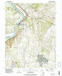 1995 Poolesville1997 Print · USGSUpper Montgomery County during the mid-1990s reflects a landscape of river-bend history and rural preservation. Genealogists and historians can trace the foundations of Poolesville, locate old burials at Mt Pleasant Cem, and follow the historic Towpath along the Potomac.
 - 1996 Map of Harpers Ferry, 2001 Print
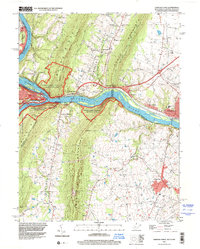 1996 Harpers Ferry2001 Print · USGSThe confluence of the Potomac and Shenandoah rivers remained a vital corridor for transportation and heritage in the 1990s. Genealogists and historians can trace the tri-state boundary while locating landmarks like Garretts Mill, the B & O RR, and Mt Olivet Ch.
 - 1997 Map of Charles Town, 1999 Print
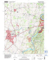 1997 Charles Town1999 Print · USGSCharles Town and its surrounding river gaps are captured here in the late twentieth century, showing a landscape defined by historic preservation and local industry. Researchers can trace the layout of the Charles Town Racetrack, find old rural schools like Page-Jackson Sch, and locate landmarks like John Browns Cave near the river.
 - 1997 Map of Round Hill, 2001 Print
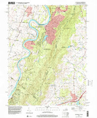 1997 Round Hill2001 Print · USGSThe border of Virginia and West Virginia meets along the Blue Ridge and the Shenandoah River in the late 1990s. Genealogists and hikers can trace the Appalachian National Scenic Trail or find local sites like Kabletown Sch and Ketocktin Cem.
End of results
Showing maps 1-9 of 9
Top cities of Loudoun County
- Leesburg historical maps
- Ashburn historical maps
- South Riding historical maps
- Sterling historical maps
- Brambleton historical maps
- Stone Ridge historical maps
See more
Frequently asked questions
- What are the different types of historical maps available for Loudoun County?
- What is the oldest map of Loudoun County?
- Where can I purchase historical maps of Loudoun County for my home or office?
- Where can I download high-res historical maps of Loudoun County?
- Are there historical topographic maps available for Loudoun County?
- Is there historical aerial imagery available for Loudoun County?
- Where are historical maps of Loudoun County sourced from?