2000s (21st Century) Maps of Middleburg, Virginia
Explore 10 historic maps of Middleburg from the 2000s (21st Century). These maps offer a rare glimpse into what life looked like during the 2000s — showing old roads, neighborhoods, homes, and landmarks that have changed or disappeared over time.
Whether you're researching your family's past, planning a metal detecting trip, or studying how Middleburg's landscape evolved across the 2000s, these high-resolution maps are a powerful tool for exploring the history of this region.
- Focus on a specific era: All maps on this page are from the 2000s, giving you a focused view of this time period.
- See what’s changed: Compare century-old streets, trails, and buildings to today's modern landscape using overlays and satellite layers.
- Research with precision: Use these maps for genealogy, historical research, land use analysis, or educational projects.
- View, download, or print: Maps are fully viewable online in high resolution, and can be downloaded or printed for your own records.
Start exploring Middleburg's history through authentic maps from the 2000s. This is your window into the past.
Middleburg, VA maps
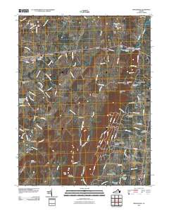
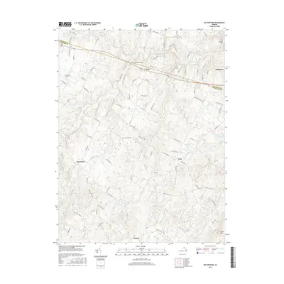
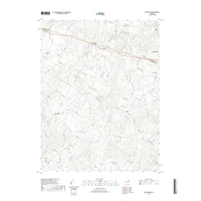
(10)- 2010 Map of Rectortown, 2010 Print
 2010 Rectortown2010 Print · USGSCovers Middleburg, including Marshall, Upperville, and other nearby areas
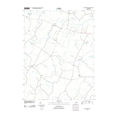
 - 2010 Map of Middleburg, 2010 Print
 2010 Middleburg2010 Print · USGSCovers Middleburg, including Bull Run Mountain Estates, Dover, and other nearby areas
 - 2013 Map of Rectortown, 2013 Print
 2013 Rectortown2013 Print · USGSCovers Middleburg, including Marshall, Upperville, and other nearby areas
 - 2013 Map of Middleburg, 2013 Print
 2013 Middleburg2013 Print · USGSCovers Middleburg, including Bull Run Mountain Estates, Dover, and other nearby areas
 - 2016 Map of Rectortown, 2016 Print
 2016 Rectortown2016 Print · USGSCovers Middleburg, including Marshall, Upperville, and other nearby areas
 - 2016 Map of Middleburg, 2016 Print
 2016 Middleburg2016 Print · USGSCovers Middleburg, including Bull Run Mountain Estates, Dover, and other nearby areas
 - 2019 Map of Rectortown, 2019 Print
 2019 Rectortown2019 Print · USGSCovers Middleburg, including Marshall, Upperville, and other nearby areas
 - 2019 Map of Middleburg, 2019 Print
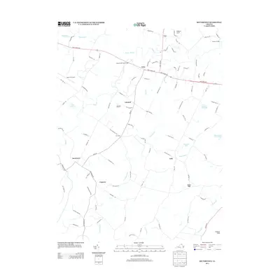
 2019 Middleburg2019 Print · USGSCovers Middleburg, including Bull Run Mountain Estates, Dover, and other nearby areas
 - 2022 Map of Rectortown, 2022 Print
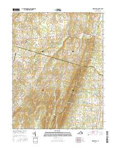
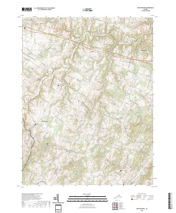 2022 Rectortown2022 Print · USGSNorthern Virginia's hunt country and rural estates are beautifully documented in this recent survey of the Fauquier and Loudoun county lines. Genealogists and historians can trace family land and community centers through landmarks like Old Carters Mill, Rectortown Cem, and the Odd Fellows Cem.
 - 2022 Map of Middleburg, 2022 Print
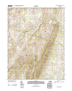
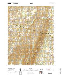
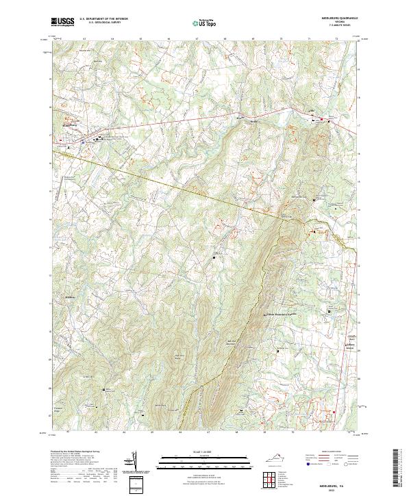 2022 Middleburg2022 Print · USGSLoudoun and Fauquier counties are captured here in the early twenty-first century as the Piedmont landscape maintains its traditional character. Genealogists and local historians can trace legacy sites from the Sharon Cem and Aldie to the peaks of Griffin Mtn.
End of results
Showing maps 1-10 of 10
Top cities near Middleburg
- Leesburg historical maps
- Linton Hall historical maps
- Brambleton historical maps
- Gainesville historical maps
- Bull Run historical maps
- Stone Ridge historical maps
See more
Frequently asked questions
- What are the different types of historical maps available for Middleburg?
- What is the oldest map of Middleburg?
- Where can I purchase historical maps of Middleburg for my home or office?
- Where can I download high-res historical maps of Middleburg?
- Are there historical topographic maps available for Middleburg?
- Is there historical aerial imagery available for Middleburg?
- Where are historical maps of Middleburg sourced from?