Old Maps of Purcellville, Virginia for Metal Detecting
Plan your next treasure hunt with 26 historic maps of Purcellville. Find old homesites, ghost towns, trails, and gathering spots that may be lost to time — perfect for identifying promising metal detecting locations.
- Locate forgotten sites: Uncover places like long-lost settlements, abandoned rail lines, or gathering spots.
- Plan better hunts: Use map overlays combined with LiDAR or satellite views to narrow in on historically rich areas.
- Made for detectorists: Thousands of hobbyists use these maps to discover relics, coins, and hidden history.
Use these historic maps to boost your research and find new opportunities beneath the surface of Purcellville.
Purcellville, VA maps
(26)- 1884 Map of Harpers Ferry
 1884 Harpers Ferry1884 Print · USGSThe confluence of the Potomac and Shenandoah rivers is captured in the mid-1880s, documenting a landscape of strategic gaps and vital transit corridors. Researchers can trace the path of the Chesapeake and Ohio Canal and locate historic river crossings like Conrad Ferry and Castleman Ferry.
 - 1891 Map of Harpers Ferry
 1891 Harpers Ferry1891 Print · USGSThe tri-state borderlands of the Potomac and Shenandoah valleys were a vital hub of transport and trade in the late 1800s. Researchers can trace historic river crossings like Castlemans Ferry, follow the route of the Chesapeake and Ohio Canal, or locate family-named settlements like Oatlands and Taylorstown.
 - 1893 Map of Harpers Ferry, 1898 Print
 1893 Harpers Ferry1898 Print · USGSThe tri-state region of the Potomac and Shenandoah valleys is captured here in the late nineteenth century, showing a landscape defined by water and rail. Trace the historic Chesapeake and Ohio Canal or locate local landmarks like Snyder Mills and Harpers Ferry.7 unique versions available
 - 1944 Map of Lincoln
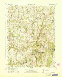 1944 Lincoln1944 Print · USGSLoudoun County’s rural Piedmont is captured in the mid-1940s during a period of agricultural and quarrying activity. Researchers can trace historic local sites such as Philomont, the Limestone Quarry, and the distinctive Suspension Foot Bridge over Goose Creek.
 - 1944 Map of Purcellville
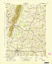 1944 Purcellville1944 Print · USGSLoudoun County is captured during the mid-forties, showing the agricultural landscape before the rapid growth of Northern Virginia. Genealogists can trace family footprints near Purcellville and Hamilton or locate rural landmarks like James Chapel and the Washington and Old Dominion line.
 - 1948 Map of Baltimore
 1948 Baltimore1948 Print · USGSMaryland and Pennsylvania crossroads are captured in the late 1940s, showing a landscape defined by historic rail lines and major military installations. Genealogists can trace family connections in Gettysburg, Westminster, and near the U.S. Naval Academy in Annapolis.2 unique versions available
 - 1952 Map of Lincoln, 1953 Print
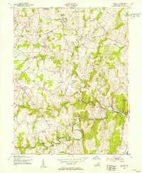 1952 Lincoln1953 Print · USGSLoudoun County rural life is captured here in the early fifties, showing a landscape defined by meandering creek beds and scattered settlements. Genealogists can trace family roots through sites like Goose Creek Cem, Philomont, and several local churches like Regular Ch.2 unique versions available
 - 1953 Map of Purcellville
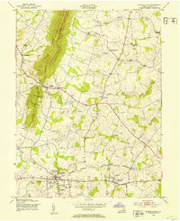 1953 Purcellville1953 Print · USGSNorthern Virginia in the early fifties shows a landscape of rail-centered towns and small farming hamlets. Trace the path of the Washington and Old Dominion railroad between Purcellville and Hamilton or locate old rural landmarks like Arnold Grove Ch.
 - 1954 Map of Baltimore
 1954 Baltimore1954 Print · USGSThe Mid-Atlantic region in the early fifties shows a landscape of growing suburban centers and heavy rail corridors. Trace mid-century transit networks and military landmarks from the Aberdeen Proving Ground to the Gettysburg National Military Park.
 - 1956 Map of Baltimore
 1956 Baltimore1956 Print · USGSMid-century Maryland and Pennsylvania are captured here during a period of massive suburban and military growth across the Chesapeake region. Genealogists and historians can trace the rail corridors of the Baltimore & Ohio RR and locate landmarks like Fort McHenry or the Aberdeen Proving Ground.
 - 1957 Map of Baltimore, 1964 Print
 1957 Baltimore1964 Print · USGSMaryland and Southern Pennsylvania are shown during the mid-century expansion of the Baltimore-Washington corridor. Researchers can trace the extensive rail lines of the Baltimore & Ohio RR and locate sites like Fort Detrick and Gettysburg National Military Park.5 unique versions available
 - 1961 Map of Baltimore
 1961 Baltimore1961 Print · USGSMaryland and Pennsylvania are captured at a mid-century peak of industrial and military expansion. Genealogists and historians can trace rail corridors like the Western Maryland Ry or locate regional landmarks such as Camp Detrick and Kent Island.
 - 1970 Map of Purcellville, 1972 Print
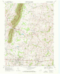 1970 Purcellville1972 Print · USGSLoudoun County's rolling Piedmont landscape is captured here in the 1970s, just as suburban growth began to reach the rural west. Genealogists and historians can trace family land around Short Hill Mountain, the Old Railroad Grade, and historic local landmarks like Ketoctin Ch.3 unique versions available
 - 1970 Map of Lincoln, 1972 Print
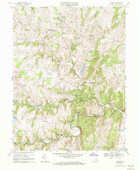 1970 Lincoln1972 Print · USGSLoudoun County’s rural character is captured here in the early seventies, featuring a landscape of established hamlets and family-named landmarks. Genealogists can trace the locations of Mt Olivet Ch, the historic Oatlands estate, and old crossings like New Guinea Bridge.2 unique versions available
 - 1984 Map of Frederick, 1985 Print
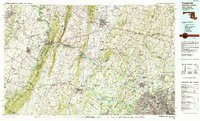 1984 Frederick1985 Print · USGSMaryland's Piedmont and the Potomac River valley are shown here in the mid-eighties as suburban growth began to meet historic rural landscapes. Genealogists and historians can trace the paths of the Baltimore and Ohio RR or locate the boundaries of Antietam National Battlefield and Fort Detrick.
 - 1989 Map of Baltimore
 1989 Baltimore1989 Print · USGSThe Mid-Atlantic corridor in the late eighties is captured here, from the Baltimore harbor to the Blue Ridge foothills. Researchers can trace the sprawling footprints of Aberdeen Proving Ground, the historic grounds of Gettysburg National Military Park, and the winding Susquehanna River.
 - 2010 Map of Lincoln, 2010 Print
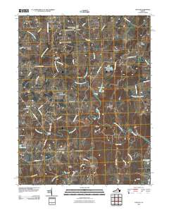 2010 Lincoln2010 Print · USGSLoudoun County’s rural landscape at the start of the 2010s remains a network of historic hamlets and family farmsteads. Genealogists and historians can trace local roots through Goose Creek Burying Ground, the Philomont Post Office, and New Guinea Bridge.
 - 2010 Map of Purcellville, 2010 Print
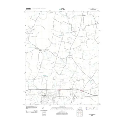 2010 Purcellville2010 Print · USGSLoudoun County’s agricultural heartland and growing towns are captured here at the start of the 2010s. Genealogists and historians can trace family plots at Lakeview or Harmony and locate landmarks like Crooked Run Orchard or the Purcellville Post Office.
 - 2013 Map of Purcellville, 2013 Print
 2013 Purcellville2013 Print · USGSLoudoun County's horse country and historic crossroads are captured here in the early twenty-first century. Researchers can trace family estates and rural hamlets from Hillsboro to Hamilton, while identifying local landmarks like Crooked Run Orchard and Milltown.
 - 2013 Map of Lincoln, 2013 Print
 2013 Lincoln2013 Print · USGSLoudoun County’s rural character and long-standing settlements are captured here in the early twenty-first century. Researchers can trace historic road networks like the Snickersville Tpke and locate landmarks such as the Marble Quarry or New Guinea Bridge.
 - 2016 Map of Purcellville, 2016 Print
 2016 Purcellville2016 Print · USGSLoudoun Valley and the surrounding ridges come into focus in the mid-2010s, showcasing the area's transition from rural farmland to a suburban hub. Researchers can trace local history through numerous burial grounds like Salem Cem and Arnold Grove Cem, or locate landmarks such as Patrick Henry Coll.
 - 2016 Map of Lincoln, 2016 Print
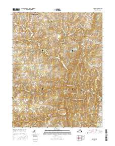 2016 Lincoln2016 Print · USGSLoudoun County’s rural hamlets and historic throughways are preserved in this recent survey of the Virginia hunt country. Researchers can trace family lineage at the Goose Creek Burying Ground or explore the geography of Philomont, Mountville, and Silcott Spring.
 - 2019 Map of Lincoln, 2019 Print
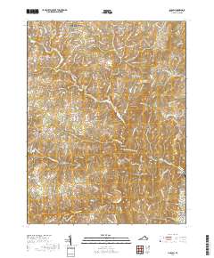 2019 Lincoln2019 Print · USGSLoudoun County's rolling Piedmont comes into focus in this late-decade survey of the Virginia hunt country. Researchers can trace the roots of rural communities at Lincoln and Philomont, while locating family history at the Goose Creek Burying Ground.
 - 2019 Map of Purcellville, 2019 Print
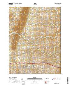 2019 Purcellville2019 Print · USGSLoudoun County’s northern valley and the growing town of Purcellville are captured here in the late twenty-teens. Genealogists and local historians can trace family plots at Arnold Grove Cemetery, Ketockin Cemetery, and the historic Hillsboro area.
 - 2022 Map of Lincoln, 2022 Print
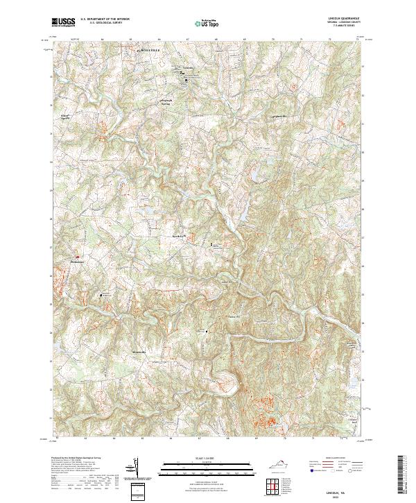 2022 Lincoln2022 Print · USGSLoudoun County’s rural heritage is preserved here in the early twenty-first century, showing a landscape defined by historic crossroads and Quaker roots. Genealogists can trace family lines at Goose Creek Burying Ground, Philomont, and Telegraph Spring.
Showing maps 1-25 of 26
Top cities near Purcellville
- Leesburg historical maps
- Ashburn historical maps
- South Riding historical maps
- Brambleton historical maps
- Stone Ridge historical maps
- Broadlands historical maps
See more
Top neighborhoods of Purcellville
- Valley Springs historical maps
- Hirst Farm historical maps
- Old Dominion Valley historical maps
- Locust Grove historical maps
- Hirst Farm historical maps
Frequently asked questions
- What are the different types of historical maps available for Purcellville?
- What is the oldest map of Purcellville?
- Where can I purchase historical maps of Purcellville for my home or office?
- Where can I download high-res historical maps of Purcellville?
- Are there historical topographic maps available for Purcellville?
- Is there historical aerial imagery available for Purcellville?
- Where are historical maps of Purcellville sourced from?