2010s Maps of Madison County, Virginia
Explore 56 historic maps of Madison County from the 2010s. These maps offer a rare glimpse into what life looked like during the 2010s — showing old roads, neighborhoods, homes, and landmarks that have changed or disappeared over time.
Whether you're researching your family's past, planning a metal detecting trip, or studying how Madison County's landscape evolved across the 2010s, these high-resolution maps are a powerful tool for exploring the history of this region.
- Focus on a specific era: All maps on this page are from the 2010s, giving you a focused view of this time period.
- See what’s changed: Compare century-old streets, trails, and buildings to today's modern landscape using overlays and satellite layers.
- Research with precision: Use these maps for genealogy, historical research, land use analysis, or educational projects.
- View, download, or print: Maps are fully viewable online in high resolution, and can be downloaded or printed for your own records.
Start exploring Madison County's history through authentic maps from the 2010s. This is your window into the past.
Madison County, VA maps
(56)- 2010 Map of Gordonsville, 2010 Print
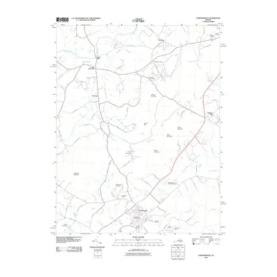 2010 Gordonsville2010 Print · USGSOrange County's Piedmont landscape at the start of the 2010s reveals a blend of historic estates and rural crossroads. Genealogists and historians can trace family sites from James Madison Cemetery and Liberty Mills to the streets of Gordonsville.
 - 2010 Map of Rochelle, 2010 Print
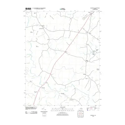 2010 Rochelle2010 Print · USGSMadison County at the start of the 2010s reveals a landscape of enduring rural crossroads and family homesteads tied to the Rapidan River. Genealogists and local historians can locate several burial grounds like Elk Run Cemetery and trace historical crossings such as Wilhoits Ford and Early Bridge.
 - 2010 Map of Stanardsville, 2010 Print
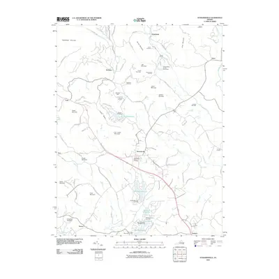 2010 Stanardsville2010 Print · USGSGreene County is shown here in the early twenty-first century as the landscape transitioned between its agricultural roots and modern residential growth. Researchers can trace family sites at Shelton Cemetery and Brills Shop or locate the numerous dams along the South River.
 - 2010 Map of Madison, 2010 Print
 2010 Madison2010 Print · USGSMadison County at the edge of the Blue Ridge Mountains reveals a landscape of high ridges and rural valley settlements. Trace local family history through landmarks like Graves Mill and community burial sites including Mount Zion Cemetery and Brown Cemetery.
 - 2010 Map of Madison Mills, 2010 Print
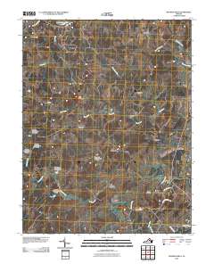 2010 Madison Mills2010 Print · USGSThe Madison and Orange County borderlands are mapped here at the turn of the millennium, showing a landscape shaped by mill sites and river crossings. Researchers can trace family history through Kemper Cemetery or locate old community hubs like Twymans Mill, Locust Dale, and Radiant.
 - 2010 Map of Fletcher, 2010 Print
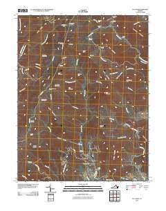 2010 Fletcher2010 Print · USGSThe high ridges of the Blue Ridge and the upper Conway River valley are captured here at the start of the 2010s. Researchers can locate historic mountain sites like Rapidan Camp, ancestral resting places at Fletcher Cemetery, and landmarks along the winding Skyline Dr.
 - 2010 Map of Big Meadows, 2010 Print
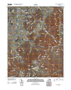 2010 Big Meadows2010 Print · USGSPage County's eastern mountains and valleys are documented here just after the turn of the millennium. Researchers can trace family sites at Marshall Cemetery or Tanners Ridge Cemetery and explore old mountain communities like Blaineville and Pine Grove.
 - 2010 Map of Old Rag Mountain, 2010 Print
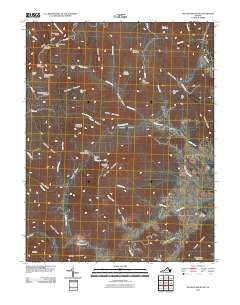 2010 Old Rag Mountain2010 Print · USGSMadison County's mountain gaps and river hollows are captured here in the early 21st century, showing a landscape shaped by the Blue Ridge. Researchers can locate the historic Oldrag Post Office, the Etlan Cemetery, and remote mountain shelters like Corbin Cabin.
 - 2010 Map of Brightwood, 2010 Print
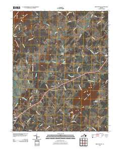 2010 Brightwood2010 Print · USGSMadison County at the turn of the decade remains a landscape of high ridges and winding river bottoms. Genealogists can trace family heritage through sites like Bethsaida Cemetery and the Thorofare Community Chapel Cemetery, or locate old landmarks near Zeus Mill Ln.
 - 2010 Map of Culpeper West, 2010 Print
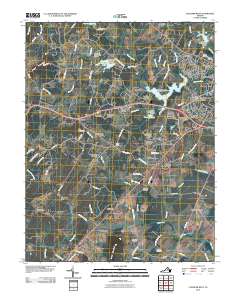 2010 Culpeper West2010 Print · USGSCulpeper and its western reaches are shown in the early twenty-first century, featuring a mix of growing residential estates and older rural landmarks. Researchers can trace family sites at Antioch Cemetery or locate historic hubs like Waylands Mill and Mitchells.
 - 2010 Map of Rapidan, 2010 Print
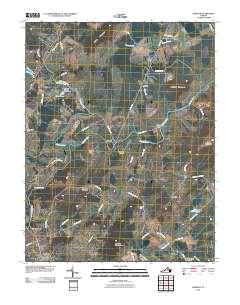 2010 Rapidan2010 Print · USGSThe river valleys of Orange County come into focus during the first decade of the 21st century, centered on the historic confluence of the Rapidan and Robinson Rivers. Researchers can trace family sites near Rapidan, identify small settlements like Trimmers Crossing, and locate local landmarks such as Linden Dam and Emmanuel Cemetery.
 - 2011 Map of Barboursville, 2011 Print
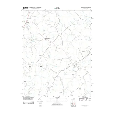 2011 Barboursville2011 Print · USGSThe Piedmont foothills and the Southwest Mountains meet in this Virginia landscape during the early twenty-first century. Genealogists and local historians can trace family locations at Dickensons Store and numerous burial sites like Eheart Cemetery or Thomas Cemetery.
 - 2011 Map of Thornton Gap, 2011 Print
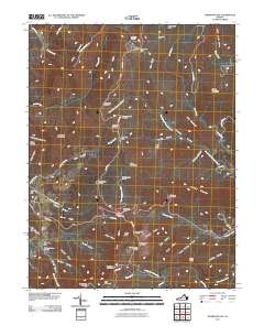 2011 Thornton Gap2011 Print · USGSThe Blue Ridge high country of Rappahannock County is captured here in the early 2000s, centered on the strategic passage of Thornton Gap. Researchers can trace the layout of Shenandoah National Park including Panorama, the Piedmont Picnic Area, and landmarks like Marys Rock.
 - 2011 Map of Woodville, 2011 Print
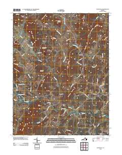 2011 Woodville2011 Print · USGSRappahannock County rural life in the early twenty-first century is defined by its deep connection to the winding Hazel and Hughes Rivers. Researchers can trace historic family crossroads at Buckners Corner or locate ancestral sites near Canaan Cemetery and Peola Mills.
 - 2013 Map of Barboursville, 2013 Print
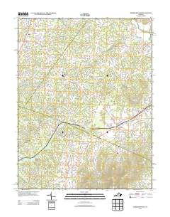 2013 Barboursville2013 Print · USGSThe Virginia Piedmont at the start of the 2010s shows a landscape of historic crossroads and thriving vineyards. Researchers can trace the evolution of local estates and settlements from Barboursville to Dickensons Store and find landmarks like Barboursville Winery.
 - 2013 Map of Culpeper West, 2013 Print
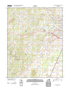 2013 Culpeper West2013 Print · USGSThe western reaches of Culpeper County in the early twenty-first century show a landscape where modern residential growth meets deep-rooted rural outposts. Local historians can trace the development of the Village of Culpeper alongside older points of interest like Waylands Mill and Mitchells.
 - 2013 Map of Big Meadows, 2013 Print
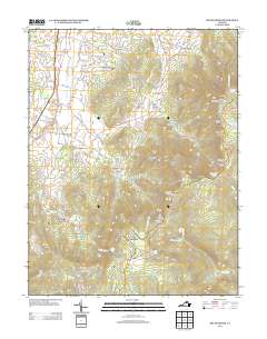 2013 Big Meadows2013 Print · USGSThe Blue Ridge highlands and Page County valleys meet in the early twenty-first century, showing the legacy of mountain settlements and park development. Genealogists and hikers can trace family names at Varner Hill or explore the heights of Skyland and Big Meadows.
 - 2013 Map of Brightwood, 2013 Print
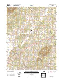 2013 Brightwood2013 Print · USGSThe rural landscape of Madison County comes into focus in this recent survey of the Brightwood area. Genealogists and local historians can trace the roads and waterways connecting settlements like Zeus, Novum, and Leon, alongside the Grand Pre Farm Airport.
 - 2013 Map of Woodville, 2013 Print
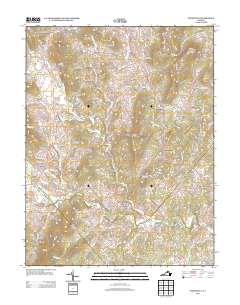 2013 Woodville2013 Print · USGSRappahannock County at the start of the 2010s shows a landscape of historic crossroads and river-driven settlements. Researchers can trace ancestral connections to family-named landmarks and old milling sites like Peola Mills, Slate Mills, and Revercombs Corner.
 - 2013 Map of Old Rag Mountain, 2013 Print
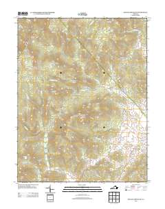 2013 Old Rag Mountain2013 Print · USGSMadison County high country is shown in detail during the early 21st century, centered on the granite peaks and deep hollows of the Blue Ridge. Researchers can locate remote mountain sites like Corbin Cabin and Oldrag or trace the headwaters of the Hughes River.
 - 2013 Map of Thornton Gap, 2013 Print
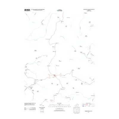 2013 Thornton Gap2013 Print · USGSThe Blue Ridge highlands are captured in the early 21st century as Skyline Dr traces the mountain crest through Shenandoah National Park. Researchers can locate historic mountain passes like Thornton Gap and Beahms Gap, or trace the deep drainage of Jewell Hollow and Frazier Hollow.
 - 2013 Map of Gordonsville, 2013 Print
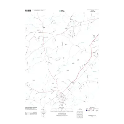 2013 Gordonsville2013 Print · USGSGordonsville and the surrounding Piedmont country are captured here at the start of the 2010s. Researchers can trace historic transport corridors and family-named landmarks like Liberty Mills, Montpelier Station, and the distinctively named Hen & Bacon Airport.
 - 2013 Map of Rapidan, 2013 Print
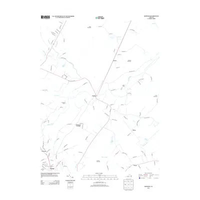 2013 Rapidan2013 Print · USGSIn the early twenty-first century, this area of the Virginia Piedmont remains anchored by the river and mountain peaks. Genealogists and historians can trace the roads connecting Rapidan, Orange, and Clifton, or locate landmarks like Jerdone Mountain and Arrowpoint Airport.
 - 2013 Map of Rochelle, 2013 Print
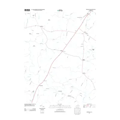 2013 Rochelle2013 Print · USGSMadison County at the start of the 2010s reveals a Piedmont landscape defined by old river crossings and small crossroads settlements. Genealogists and local historians can trace the geography of names like Repton Mills, Wilhoits Ford, and Scuffletown.
 - 2013 Map of Fletcher, 2013 Print
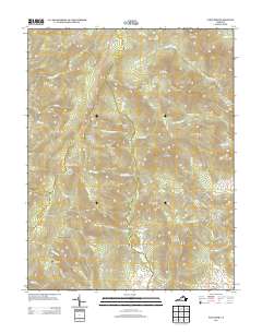 2013 Fletcher2013 Print · USGSBlue Ridge high country and the eastern foothills of Greene County are captured here just over a decade ago. Genealogists and hikers can trace the mountain landmarks of Shenandoah National Park, from Rapidan Camp to the rural settlement of Fletcher.
Showing maps 1-25 of 56
Top cities of Madison County
Frequently asked questions
- What are the different types of historical maps available for Madison County?
- What is the oldest map of Madison County?
- Where can I purchase historical maps of Madison County for my home or office?
- Where can I download high-res historical maps of Madison County?
- Are there historical topographic maps available for Madison County?
- Is there historical aerial imagery available for Madison County?
- Where are historical maps of Madison County sourced from?