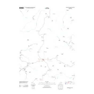
2013 Map of Thornton Gap
USGS Topo · Published 2013About this map
Skyline Dr winds along the crest of the Blue Ridge, serving as the central axis for this 2013 survey of Shenandoah National Park. The landscape is defined by its dramatic mountain passes, most notably Thornton Gap, where Route 211 crosses the ridge near the Panorama site. The map records the network of high-altitude shelters and overlooks that facilitate travel through this protected wilderness, including Elkwallow Shelter, Pass Mountain Shelter, and the Byrds Nest Number 4 structure.
Find a feature on this map
84 named features on this map. Tap any name to fly to it.
Don’t see what you’re looking for? This feature index may not catch every label — zoom into the map to look around manually.
Map Details
Editions of this 2013 Thornton Gap Map
This is the sole edition of this map. No revisions or reprints were ever made.
Other maps of this area

1893 · Luray
USGS Topo · 1:125,000

1905 · Luray
USGS Topo · 1:125,000

1929 · Stony Man
USGS Topo · 1:48,000

1933 · Stony Man
USGS Topo · 1:62,500

1939 · Front Royal
USGS Topo · 1:48,000

1944 · Front Royal
USGS Topo · 1:62,500

1947 · Strasburg
USGS Topo · 1:62,500

1949 · Charlottesville
USGS Topo · 1:250,000

1950 · Strasburg
USGS Topo · 1:62,500

1956 · Charlottesville
USGS Topo · 1:250,000