2020s Maps of Madison, Virginia
Explore 2 historic maps of Madison from the 2020s. These maps offer a rare glimpse into what life looked like during the 2020s — showing old roads, neighborhoods, homes, and landmarks that have changed or disappeared over time.
Whether you're researching your family's past, planning a metal detecting trip, or studying how Madison's landscape evolved across the 2020s, these high-resolution maps are a powerful tool for exploring the history of this region.
- Focus on a specific era: All maps on this page are from the 2020s, giving you a focused view of this time period.
- See what’s changed: Compare century-old streets, trails, and buildings to today's modern landscape using overlays and satellite layers.
- Research with precision: Use these maps for genealogy, historical research, land use analysis, or educational projects.
- View, download, or print: Maps are fully viewable online in high resolution, and can be downloaded or printed for your own records.
Start exploring Madison's history through authentic maps from the 2020s. This is your window into the past.
Madison, VA maps
(2)- 2022 Map of Madison, 2022 Print
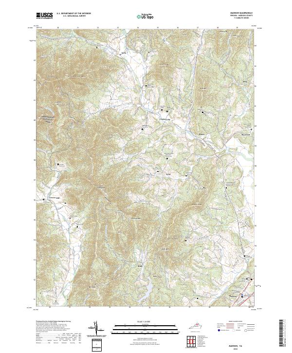 2022 Madison2022 Print · USGSMadison and the surrounding Virginia Piedmont are captured here in recent years, where the lowlands meet the Blue Ridge. Researchers can locate numerous family burial sites and rural steeples, from the Early Family Cem to the Mount Zion Baptist Church.
 - 2022 Map of Rochelle, 2022 Print
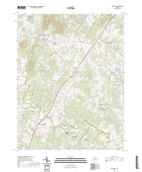 2022 Rochelle2022 Print · USGSMadison County and the borders of Greene and Orange counties are captured here as they appeared in 2022. Genealogists can trace family heritage across a remarkable concentration of family sites like the Spotwood Burial Site and Philip Long Cem.
End of results
Showing maps 1-2 of 2
Top cities near Madison
- Hollymead historical maps
- Orange historical maps
- Piney Mountain historical maps
- Twin Lakes historical maps
- Ruckersville historical maps
- Brightwood historical maps
See more
Frequently asked questions
- What are the different types of historical maps available for Madison?
- What is the oldest map of Madison?
- Where can I purchase historical maps of Madison for my home or office?
- Where can I download high-res historical maps of Madison?
- Are there historical topographic maps available for Madison?
- Is there historical aerial imagery available for Madison?
- Where are historical maps of Madison sourced from?