Old Maps of Madison, Virginia for Academic Research
Study the evolution of Madison with 20 high-resolution historic maps. Whether you're teaching, researching, or modeling changes in land use, these maps provide essential visual documentation of urban, environmental, and geographic change.
- Analyze long-term change: Track patterns in development, transportation, and natural features.
- Ideal for environmental or urban studies: Support academic projects with primary historical map data.
- Use in the classroom or lab: Educators and researchers rely on these maps to bring historical context to life.
These maps are a powerful tool for teaching, research, and visualizing how Madison has changed over the decades.
Madison, VA maps
(20)- 1892 Map of Gordonsville, 1899 Print
 1892 Gordonsville1899 Print · USGSCentral Virginia’s railway hubs and mountain gaps come alive in this late nineteenth-century survey. Genealogists and historians can trace the foundations of Charlottesville and the bustling rail junctions at Gordonsville and Orange.6 unique versions available
 - 1930 Map of Madison
 1930 Madison1930 Print · USGSThe Blue Ridge foothills of Madison and Greene counties are captured here just as Shenandoah National Park was being established. Researchers can trace the early mountain communities around Graves Mill, Criglersville, and the remote Upper Pocosin Mission.3 unique versions available
 - 1933 Map of Madison
 1933 Madison1933 Print · USGSThe Virginia Piedmont meets the Blue Ridge in the early thirties, just as the national park is taking shape. Genealogists can trace family names across Eppards Mill, The Presidents Camp, and remote schools like the Upper Pocosin Mission.3 unique versions available
 - 1949 Map of Charlottesville
 1949 Charlottesville1949 Print · USGSThe Shenandoah Valley and Blue Ridge appear in the late 1940s as a thriving corridor of rail and river commerce. Researchers can trace the mid-century footprints of Harrisonburg, Staunton, and Culpeper alongside the historic routes of the Southern Railway.2 unique versions available
 - 1956 Map of Charlottesville, 1966 Print
 1956 Charlottesville1966 Print · USGSThe Shenandoah Valley and Blue Ridge are captured in detail during the mid-1960s as the modern interstate system began to emerge. Genealogists and historians can trace rail-connected hubs like Waynesboro or follow the river paths of the Rapidan River and Rivanna River.4 unique versions available
 - 1964 Map of Rochelle, 1966 Print
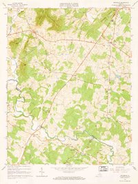 1964 Rochelle1966 Print · USGSIn the foothills of the Blue Ridge during the mid-sixties, this area shows a network of established crossroads communities and mountain ridges. Trace the location of family landmarks and local institutions like Repton Mills, Pleasant Grove Ch, and Dawsonville.4 unique versions available
 - 1964 Map of Madison, 1966 Print
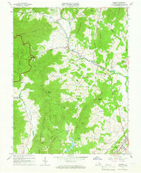 1964 Madison1966 Print · USGSVirginia's Blue Ridge foothills are captured in the mid-sixties, from the protected wilderness of Shenandoah National Park to the streets of Madison. Trace rural family roots near Graves Chapel, Criglersville, and Cedar Hill Cem.5 unique versions available
 - 1977 Map of Rochelle, 1981 Print
 1977 Rochelle1981 Print · USGSMadison County's Piedmont landscape is documented in the late seventies through detailed aerial imagery. Genealogists and local historians can trace the rural layout of communities like Rochelle, Wolftown, and Dawsonville along the Rapidan River.
 - 1986 Map of Charlottesville
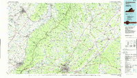 1986 Charlottesville1986 Print · USGSCentral Virginia in the mid-eighties shows a landscape balanced between the growing city centers of the Piedmont and the protected ridges of the Blue Ridge. Trace the historic rail lines of the Chesapeake and Ohio Railway or locate local landmarks like Monticello Mountain and Bridgewater College.3 unique versions available
 - 1999 Map of Madison, 2000 Print
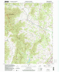 1999 Madison2000 Print · USGSMadison and its surrounding Blue Ridge foothills appear here at the close of the twentieth century. Researchers can locate family landmarks and community centers like Mt Zion Ch, Syria, and Graves Mill along the banks of the Robinson River.
 - 2010 Map of Rochelle, 2010 Print
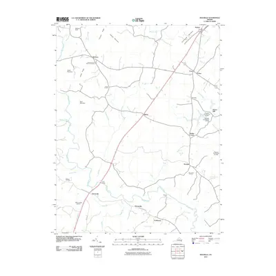 2010 Rochelle2010 Print · USGSMadison County at the start of the 2010s reveals a landscape of enduring rural crossroads and family homesteads tied to the Rapidan River. Genealogists and local historians can locate several burial grounds like Elk Run Cemetery and trace historical crossings such as Wilhoits Ford and Early Bridge.
 - 2010 Map of Madison, 2010 Print
 2010 Madison2010 Print · USGSMadison County at the edge of the Blue Ridge Mountains reveals a landscape of high ridges and rural valley settlements. Trace local family history through landmarks like Graves Mill and community burial sites including Mount Zion Cemetery and Brown Cemetery.
 - 2013 Map of Rochelle, 2013 Print
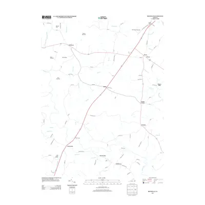 2013 Rochelle2013 Print · USGSMadison County at the start of the 2010s reveals a Piedmont landscape defined by old river crossings and small crossroads settlements. Genealogists and local historians can trace the geography of names like Repton Mills, Wilhoits Ford, and Scuffletown.
 - 2013 Map of Madison, 2013 Print
 2013 Madison2013 Print · USGSThe eastern slopes of the Blue Ridge Mountains come alive in this early 21st-century study of the Virginia Piedmont. Genealogists and local historians can trace family-named landmarks and old hamlets from Graves Mill and Aylor to the historic Old Blue Ridge Tpke.
 - 2016 Map of Rochelle, 2016 Print
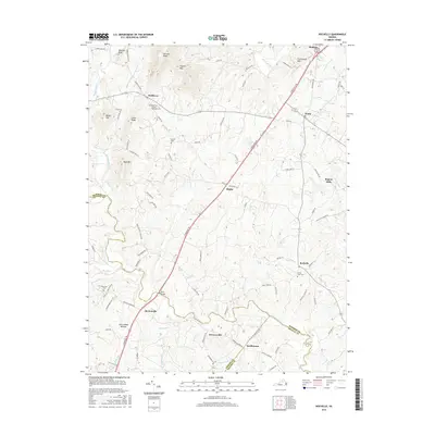 2016 Rochelle2016 Print · USGSMadison and the surrounding Piedmont country are mapped here during the mid-2010s, showcasing a landscape of ridges and river bottoms. Genealogists and historians can trace local landmarks like Rose Park United Methodist Cem, Repton Mills, and Scuffletown.
 - 2016 Map of Madison, 2016 Print
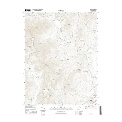 2016 Madison2016 Print · USGSMadison and its surrounding Blue Ridge foothills are captured here in the mid-2010s, showing a landscape defined by deep hollows and high ridges. You can trace family histories through numerous remote burial grounds like Mount Zion Cem and Jarrell Cem, or explore the limits of Shenandoah National Park.
 - 2019 Map of Madison, 2019 Print
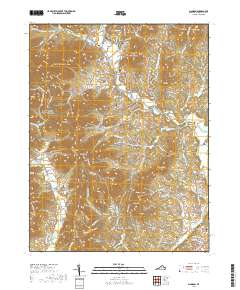 2019 Madison2019 Print · USGSMadison and its surrounding valley settlements are shown here at the edge of the Blue Ridge Mountains. Genealogists can trace family landmarks and burial sites including Mount Zion Cem, Berry Cem, and the riverside community of Graves Mill.
 - 2019 Map of Rochelle, 2019 Print
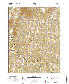 2019 Rochelle2019 Print · USGSMadison and the rural reaches of central Virginia are captured here in the late twenty-tens. Researchers can trace local lineages through the Rose Park United Methodist Cem, Elk Run Cem, and the old crossroads of Shelby.
 - 2022 Map of Madison, 2022 Print
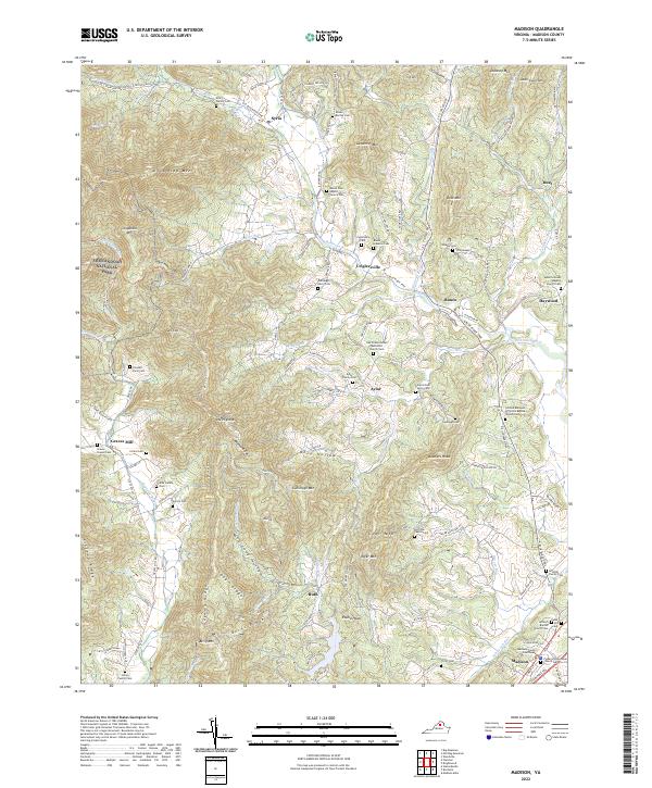 2022 Madison2022 Print · USGSMadison and the surrounding Virginia Piedmont are captured here in recent years, where the lowlands meet the Blue Ridge. Researchers can locate numerous family burial sites and rural steeples, from the Early Family Cem to the Mount Zion Baptist Church.
 - 2022 Map of Rochelle, 2022 Print
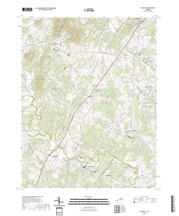 2022 Rochelle2022 Print · USGSMadison County and the borders of Greene and Orange counties are captured here as they appeared in 2022. Genealogists can trace family heritage across a remarkable concentration of family sites like the Spotwood Burial Site and Philip Long Cem.
End of results
Showing maps 1-20 of 20
Top cities near Madison
- Hollymead historical maps
- Orange historical maps
- Piney Mountain historical maps
- Twin Lakes historical maps
- Ruckersville historical maps
- Brightwood historical maps
See more
Frequently asked questions
- What are the different types of historical maps available for Madison?
- What is the oldest map of Madison?
- Where can I purchase historical maps of Madison for my home or office?
- Where can I download high-res historical maps of Madison?
- Are there historical topographic maps available for Madison?
- Is there historical aerial imagery available for Madison?
- Where are historical maps of Madison sourced from?