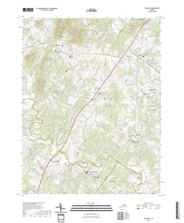
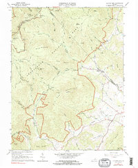
2022 Map of Rochelle
USGS Topo · Published 2022About this map
The Rapidan River and its numerous tributaries, including the Conway River and South River, define the undulating landscape of this Madison County region. The terrain is marked by prominent elevations like German Ridge and Courthouse Mtn, creating a topography where small communities and family farms are connected by a winding network of rural routes such as S Seminole Trl. The map reveals a deeply rooted settlement pattern, particularly evident in the high density of family cemeteries and church-affiliated burial grounds.
Find a feature on this map
131 named features on this map. Tap any name to fly to it.
Don’t see what you’re looking for? This feature index may not catch every label — zoom into the map to look around manually.
Map Details
Editions of this 2022 Rochelle Map
This is the sole edition of this map. No revisions or reprints were ever made.
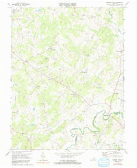
Historical Maps of Madison Through Time
13 maps found
1961 Rapidan
Madison County, VA
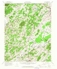
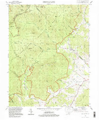
1964 Rochelle
Madison County, VA
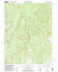
1965 Fletcher
Madison County, VA
1965 Old Rag Mountain
Madison County, VA
1971 Madison Mills
Madison County, VA
1977 Fletcher
Madison County, VA
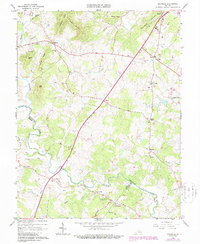
1977 Rochelle
Madison County, VA
1994 Old Rag Mountain
Madison County, VA
1999 Fletcher
Madison County, VA
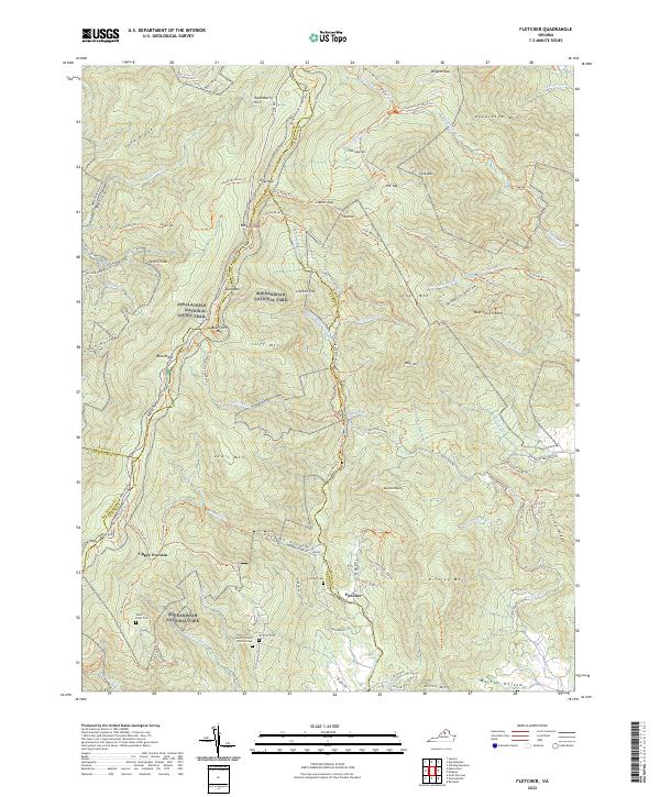
2022 Fletcher
Madison County, VA
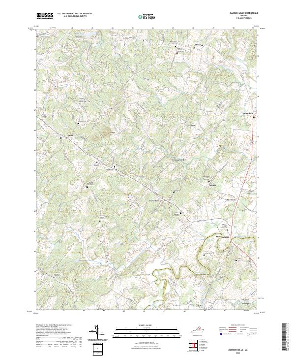
2022 Madison Mills
Madison County, VA
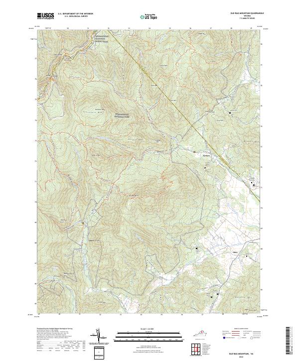
2022 Old Rag Mountain
Madison County, VA
2022 Rochelle
Madison County, VA