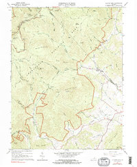
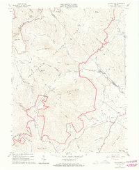
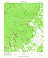
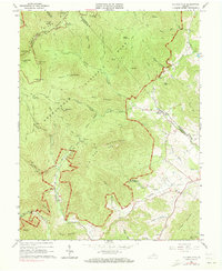
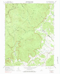
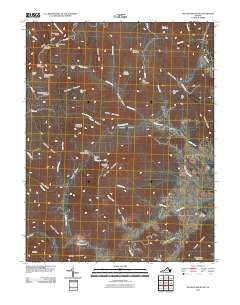
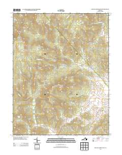
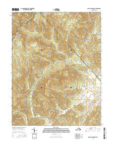
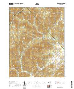
1965 Map of Old Rag Mountain
USGS Topo · Published 1991About this map
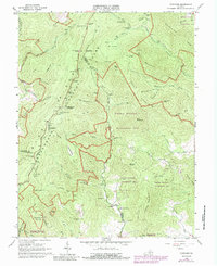
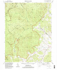
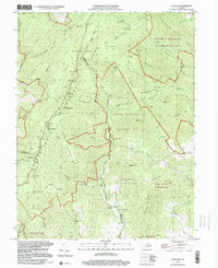
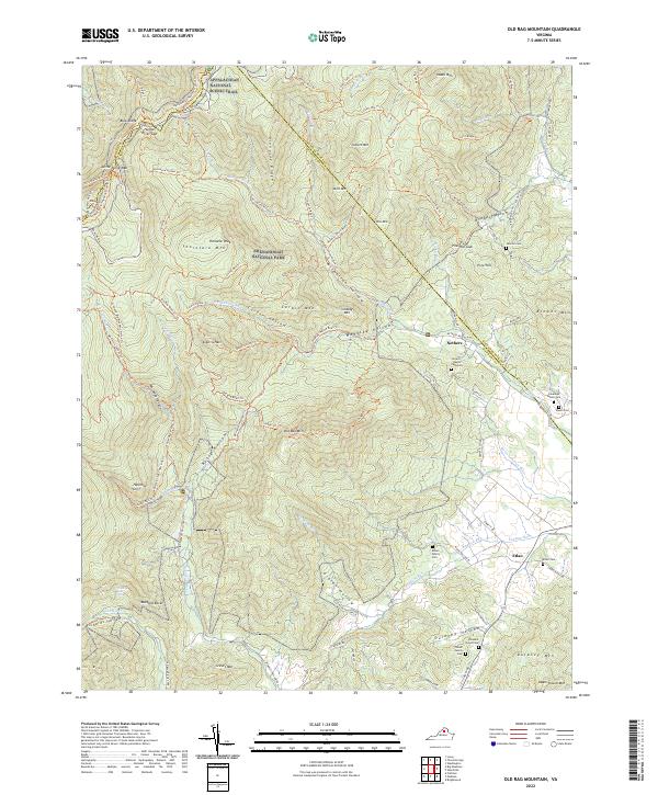
Shenandoah National Park and its interface with the surrounding Blue Ridge foothills are documented in this mid-century survey. The landscape is defined by the steep elevation changes around Old Rag Mountain and the deep incisions of Whiteoak Canyon and Berry Hollow. While much of the area is dedicated to the park, several small settlements and community landmarks persist along the eastern boundary. The map captures the quiet isolation of Corbin Cabin tucked beneath Robertson Mountain, and the clustered rural life at Nethers and Etlan, where Bethlehem Church and Etlan Church served local residents. High-altitude infrastructure is visible along the winding Skyline Drive, including the Pinnacle Ranger Station and several scenic overlooks like Stony Man Overlook. The transition from the high ridges of the Appalachian Trail down to the agricultural flats of the Robinson River valley provides a clear view of the region's diverse terrain and settlement patterns.
Find a feature on this map
71 named features on this map. Tap any name to fly to it.
Don’t see what you’re looking for? This feature index may not catch every label — zoom into the map to look around manually.
Map Details
Editions of this 1965 Old Rag Mountain Map
6 editions found
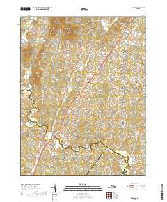
Historical Maps of Etlan Through Time
29 maps found
1961 Rapidan
Madison County, VA
1964 Rochelle
Madison County, VA
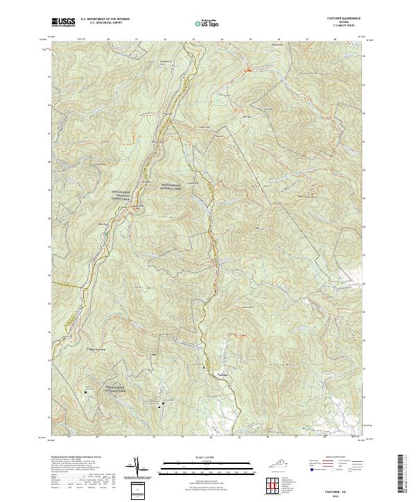
1965 Fletcher
Madison County, VA
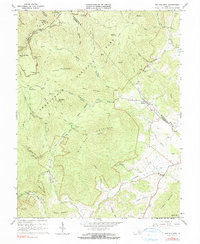
1965 Old Rag Mountain
Madison County, VA
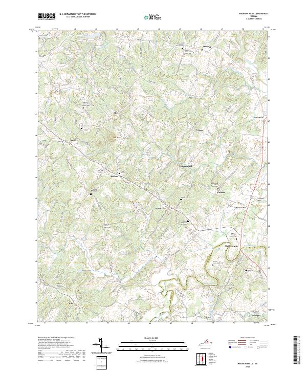
1971 Madison Mills
Madison County, VA
1977 Fletcher
Madison County, VA
1977 Rochelle
Madison County, VA
1994 Old Rag Mountain
Madison County, VA
1999 Fletcher
Madison County, VA
2010 Fletcher
Madison County, VA
2010 Madison Mills
Madison County, VA
2010 Old Rag Mountain
Madison County, VA
2010 Rochelle
Madison County, VA
2013 Fletcher
Madison County, VA
2013 Madison Mills
Madison County, VA
2013 Old Rag Mountain
Madison County, VA
2013 Rochelle
Madison County, VA
2016 Fletcher
Madison County, VA
2016 Madison Mills
Madison County, VA
2016 Old Rag Mountain
Madison County, VA
2016 Rochelle
Madison County, VA
2019 Fletcher
Madison County, VA
2019 Madison Mills
Madison County, VA
2019 Old Rag Mountain
Madison County, VA
2019 Rochelle
Madison County, VA
2022 Fletcher
Madison County, VA
2022 Madison Mills
Madison County, VA
2022 Old Rag Mountain
Madison County, VA
2022 Rochelle
Madison County, VA