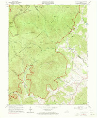
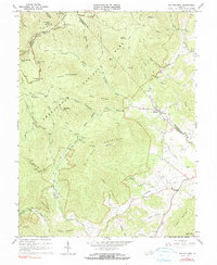
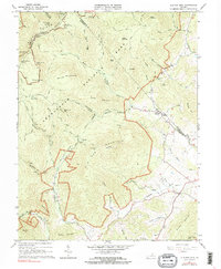
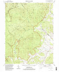
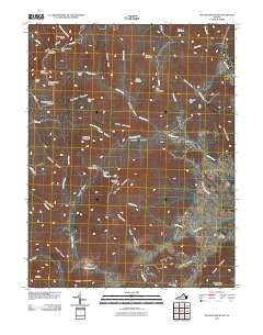
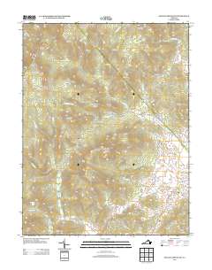
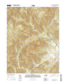
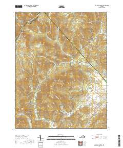
1965 Map of Old Rag Mtn
USGS Topo · Published 1973About this map
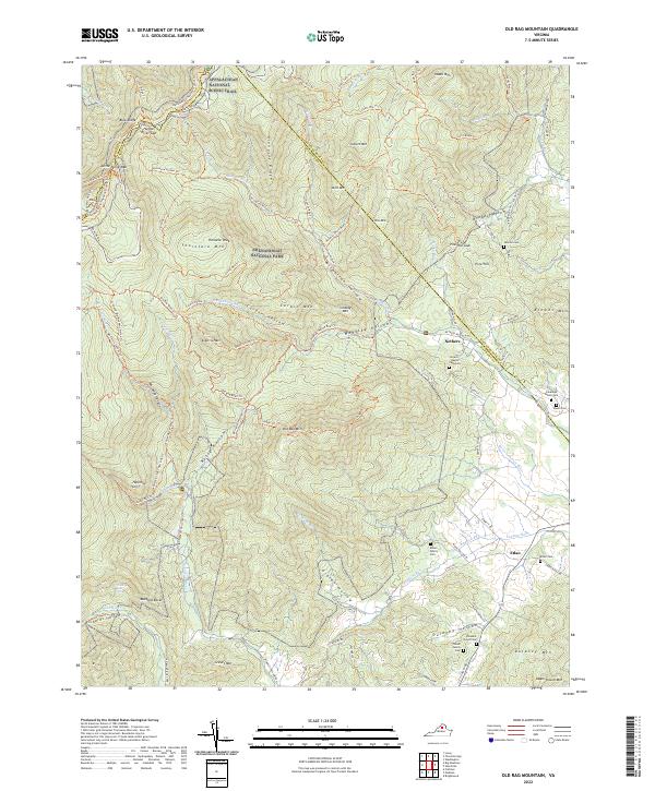
Old Rag Mountain dominates the central landscape of this mid-1960s survey, illustrating the complex vertical geography of the Shenandoah National Park as it was managed in the mid-20th century. The transition from the high-elevation wilderness of the Blue Ridge crest to the valley agricultural communities is starkly visible. Along the ridgeline, infrastructure for conservation and recreation is well-established, including the winding Skyline Drive, the Appalachian Trail, and specialized sites like Pinnacle Ranger Station and Old Rag Shelter.
Find a feature on this map
78 named features on this map. Tap any name to fly to it.
Don’t see what you’re looking for? This feature index may not catch every label — zoom into the map to look around manually.
Map Details
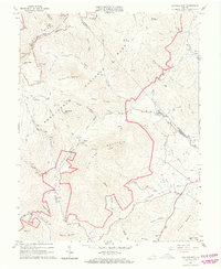
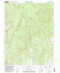
Editions of this 1965 Old Rag Mtn Map
6 editions found
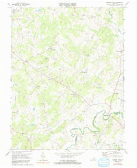
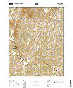
Historical Maps of Etlan Through Time
29 maps found
1961 Rapidan
Madison County, VA
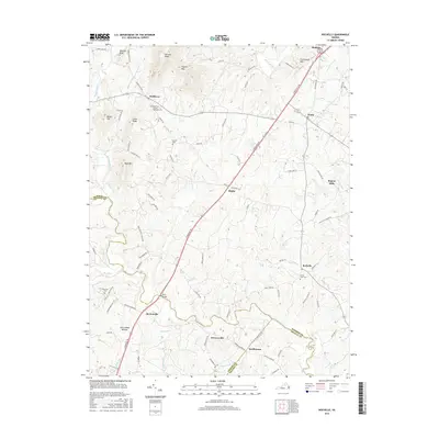
1964 Rochelle
Madison County, VA
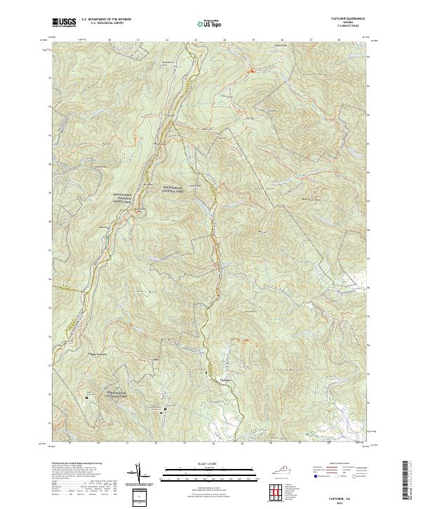
1965 Fletcher
Madison County, VA
1965 Old Rag Mountain
Madison County, VA
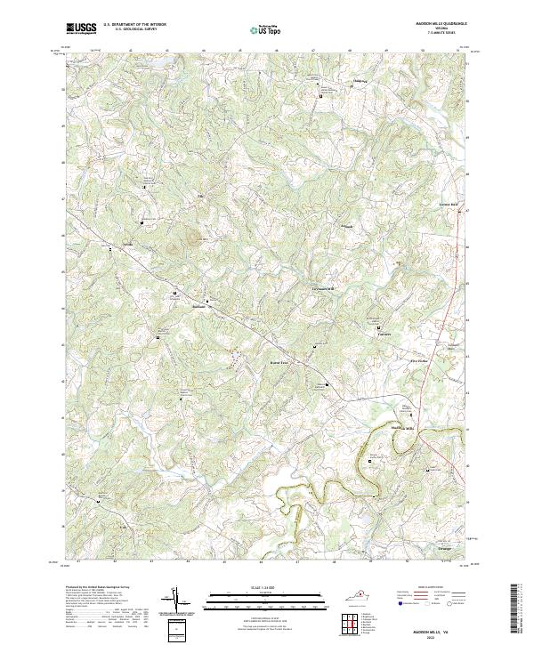
1971 Madison Mills
Madison County, VA
1977 Fletcher
Madison County, VA
1977 Rochelle
Madison County, VA
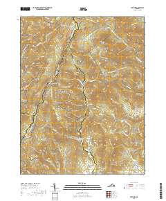
1994 Old Rag Mountain
Madison County, VA
1999 Fletcher
Madison County, VA
2010 Fletcher
Madison County, VA
2010 Madison Mills
Madison County, VA
2010 Old Rag Mountain
Madison County, VA
2010 Rochelle
Madison County, VA
2013 Fletcher
Madison County, VA
2013 Madison Mills
Madison County, VA
2013 Old Rag Mountain
Madison County, VA
2013 Rochelle
Madison County, VA
2016 Fletcher
Madison County, VA
2016 Madison Mills
Madison County, VA
2016 Old Rag Mountain
Madison County, VA
2016 Rochelle
Madison County, VA
2019 Fletcher
Madison County, VA
2019 Madison Mills
Madison County, VA
2019 Old Rag Mountain
Madison County, VA
2019 Rochelle
Madison County, VA
2022 Fletcher
Madison County, VA
2022 Madison Mills
Madison County, VA
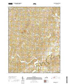
2022 Old Rag Mountain
Madison County, VA
2022 Rochelle
Madison County, VA