Old Maps of Christiansburg, Virginia for Genealogy
Trace your family roots with 31 historic maps of Christiansburg. These high-res maps reveal old neighborhoods, homesites, landmarks, and streets — helping you uncover where your ancestors lived and how the area evolved over time.
- Explore historic neighborhoods: Identify where your relatives may have lived in the 1800s or 1900s.
- Compare maps over time: Trace the changes in streets, buildings, and landmarks for multi-generational research.
- Perfect for genealogy & ancestry research: Used by family historians and researchers to map out lineage and migration.
These maps are an incredible resource for exploring your personal connection to Christiansburg's past.
Christiansburg, VA maps
(31)- 1890 Map of Christiansburg
 1890 Christiansburg1890 Print · USGSSouthwestern Virginia in the late nineteenth century centers on the emerging rail and resort economy. Trace the Norfolk and Western Railroad through Christiansburg and find historic resorts like Alleghany Springs.10 unique versions available
 - 1932 Map of Blacksburg
 1932 Blacksburg1932 Print · USGSMontgomery and Floyd Counties are documented here in the early thirties as the regional rail and coal economy thrived. Genealogists can trace family homesteads near landmarks like the Virginia Polytechnic Institute, Merrimac Mines, and Christiansburg Industrial Sch.2 unique versions available
 - 1937 Map of Blacksburg
 1937 Blacksburg1937 Print · USGSMontgomery County was a hub of higher education, coal mining, and rail transport in the 1930s. Researchers can trace the early grounds of the Virginia Polytechnic Institute and locate numerous rural landmarks like Merrimac Mines, Kanodee Mill, and Yellow Sulphur Springs.3 unique versions available
 - 1955 Map of Bluefield
 1955 Bluefield1955 Print · USGSThe Central Appalachian borderlands come alive in the mid-fifties, showing the coal and rail networks connecting Bluefield to Beckley. Researchers can trace the industrial landscape of the New River Ordnance Plant and the terrain of Burkes Garden.
 - 1957 Map of Bluefield, 1967 Print
 1957 Bluefield1967 Print · USGSThe heart of Central Appalachia in the mid-fifties is defined by the winding rail lines and river valleys of the coalfields. Researchers can trace the industrial footprints of towns like Welch and Princeton or locate landmarks such as the Bluestone Reservoir and Claytor Lake.2 unique versions available
 - 1961 Map of Bluefield
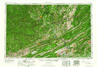 1961 Bluefield1961 Print · USGSThe coalfields and mountain ridges of southern West Virginia and southwest Virginia are captured in the early sixties. Genealogists can trace family ties through rail-linked towns like Princeton and Richlands or along the shores of Bluestone Reservoir.
 - 1965 Map of Pilot, 1966 Print
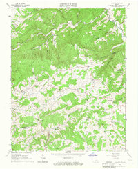 1965 Pilot1966 Print · USGSThe mid-sixties Blue Ridge highlands come into focus along the Montgomery and Floyd county line, where small communities follow the winding creek valleys. Genealogists and historians can trace family-named landmarks like Smith Hill or find local meeting points such as Sowders Chapel and Vaughn Chapel.3 unique versions available
 - 1965 Map of Blacksburg, 1966 Print
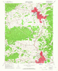 1965 Blacksburg1966 Print · USGSBlacksburg and Christiansburg are captured here in the mid-sixties during a period of significant collegiate and civic expansion. Researchers can trace the early footprint of the Virginia Polytechnic Institute campus or locate historic sites like Kanodes Mill, Yellow Sulphur Springs, and Belmont Ch.5 unique versions available
 - 1965 Map of Ironto, 1968 Print
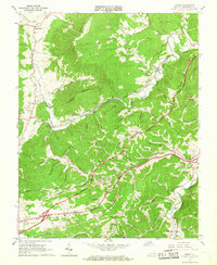 1965 Ironto1968 Print · USGSIn the mid-1960s, the railroad and river valleys of Montgomery County show a landscape of growing infrastructure and deep-rooted rural identity. Researchers can trace family sites and community centers from Alleghany Springs and Shawsville to rural landmarks like Den Hill Church and Lusters Gate.5 unique versions available
 - 1965 Map of Riner, 1968 Print
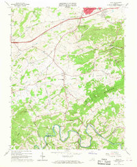 1965 Riner1968 Print · USGSMontgomery and Floyd counties in the mid-sixties are defined by the winding Little River and the quiet valley roads around Riner. Genealogists and local historians can trace rural life through numerous landmarks like Auburn High Sch, Camp Carysbrook, and Sidney Ch.3 unique versions available
 - 1982 Map of Radford, 1983 Print
 1982 Radford1983 Print · USGSThe New River Valley and surrounding highlands are shown during a period of significant regional growth in the early eighties. Genealogists and historians can trace the development of VPI, locate historic sites like Yellow Sulphur Springs, and follow the Norfolk and Western rail lines through the gaps.2 unique versions available
 - 2010 Map of Riner, 2010 Print
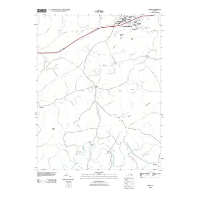 2010 Riner2010 Print · USGSThe outskirts of Christianburg and the rural village of Riner are captured here during a period of steady residential growth. Researchers can trace land development in Highland Park and locate historic river crossings like Broad Shoals Ford or landmarks like Altizer Bridge.
 - 2010 Map of Pilot, 2010 Print
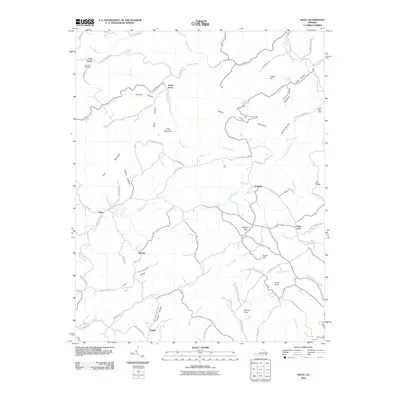 2010 Pilot2010 Print · USGSThe Blue Ridge foothills of Montgomery County are captured here in the early twenty-first century, showing a landscape of high ridges and hollows. Genealogists can trace family landmarks and rural communities including Oak Grove, Huffville, and Terrys Fork, or locate Oak Grove Cemetery.
 - 2010 Map of Ironto, 2010 Print
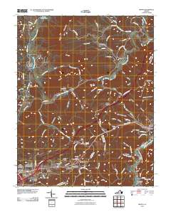 2010 Ironto2010 Print · USGSThe Roanoke River forks and the shadows of Paris Mountain defined this corner of Montgomery County at the start of the 2010s. Researchers can trace family history through sites like Den Hill Cemetery or locate landmarks like Big Tunnel and Alleghany Springs.
 - 2011 Map of Blacksburg, 2011 Print
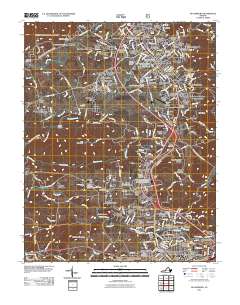 2011 Blacksburg2011 Print · USGSBlacksburg and the surrounding Montgomery County highlands are shown here during a period of significant university expansion. Genealogists and local historians can trace family plots at Kipps Cemetery or locate landmarks like Kanodes Mill and Price Mountain.
 - 2013 Map of Pilot, 2013 Print
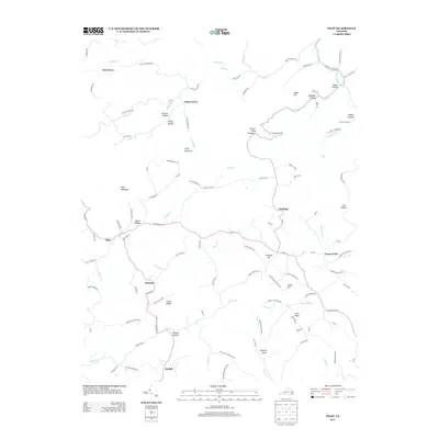 2013 Pilot2013 Print · USGSMontgomery County’s upland ridges and hollows are documented here in the early twenty-first century as small settlements like Huffville and Pilot maintain their rural character. Genealogists and hikers can trace the geography of family-named features like Booth Hollow, Kingery Hill, and Coles Knob.
 - 2013 Map of Blacksburg, 2013 Print
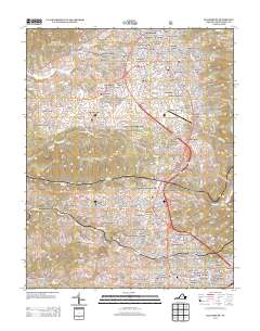 2013 Blacksburg2013 Print · USGSBlacksburg and the Virginia Tech campus are captured during a period of significant suburban and academic expansion in the early 2010s. Researchers can trace the development of numerous residential neighborhoods and locate local landmarks like Kanodes Mill, Yellow Sulphur Springs, and McBryde Village.
 - 2013 Map of Ironto, 2013 Print
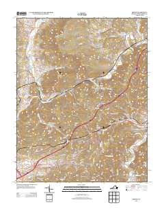 2013 Ironto2013 Print · USGSThe Roanoke River forks define this Montgomery County landscape in the early twenty-first century, connecting rural mountain hamlets via winding valley roads. Genealogists and historians can trace family-named sites from Big Tunnel to Alleghany Springs and Ironto.
 - 2013 Map of Riner, 2013 Print
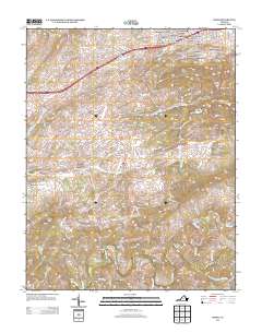 2013 Riner2013 Print · USGSMontgomery County suburban growth meets the rural Blue Ridge plateau in this early twenty-first-century survey. You can trace family landmarks and river crossings from the residential Shadeland Addition down to Broad Shoals Ford and Camp Carysbrook on the Little River.
 - 2016 Map of Ironto, 2016 Print
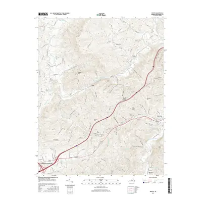 2016 Ironto2016 Print · USGSMontgomery County’s eastern reaches come into focus during this mid-decade survey, illustrating the convergence of the Roanoke River's major forks. Genealogists and researchers can pinpoint landmarks like Den Hill Cemetery, Big Tunnel, and the residential clusters of Ironto and Shawsville.
 - 2016 Map of Riner, 2016 Print
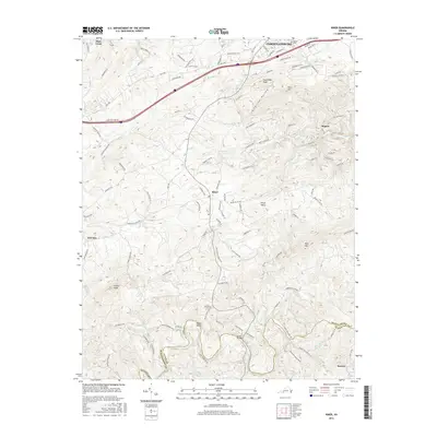 2016 Riner2016 Print · USGSMontgomery and Floyd counties come alive in this mid-2010s survey, showing the landscape from Christiansburg down to the Little River. Researchers can trace old family sites near Sunset Cemetery or find historic crossings like the Altizer Bridge.
 - 2016 Map of Pilot, 2016 Print
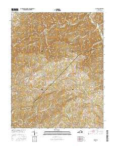 2016 Pilot2016 Print · USGSThe Montgomery and Floyd County line comes alive in this survey of the Virginia highlands during the mid-2010s. Researchers can locate family-named landmarks and mountain communities like Huffville, Terrys Fork, and the Oak Grove Cem.
 - 2016 Map of Blacksburg, 2016 Print
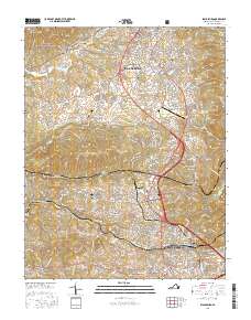 2016 Blacksburg2016 Print · USGSMontgomery County in the mid-2010s shows the continued growth of Blacksburg and the Virginia Tech campus. Genealogists can trace legacy landmarks through Kipps Cem, Yellow Sulphur Springs, and the old site of Kanodes Mill.
 - 2019 Map of Blacksburg, 2019 Print
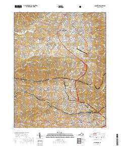 2019 Blacksburg2019 Print · USGSMontgomery County comes into focus in this recent survey, showing the busy corridor between two major regional centers. Genealogists and researchers can locate family sites at Kipps Cem, Kanodes Mill, and the historic Yellow Sulphur Springs.
 - 2019 Map of Riner, 2019 Print
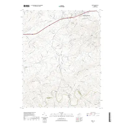 2019 Riner2019 Print · USGSThe northern limits of CHRISTIANSBURG meet the rural reaches of Montgomery County in this recent survey. Local researchers can trace the winding course of the Little River, locate the Sunset Cem, and identify old crossing points like Altizer Bridge.
Showing maps 1-25 of 31
Top cities near Christiansburg
- Blacksburg historical maps
- Radford historical maps
- Merrimac historical maps
- Fairlawn historical maps
- Plum Creek historical maps
- Prices Fork historical maps
See more
Top neighborhoods of Christiansburg
- Cambria historical maps
- East Ridge historical maps
- Shadeland Addition historical maps
- Highview Terrace historical maps
- Lynwood Terrace historical maps
- Alleghany Addition historical maps
See more
Frequently asked questions
- What are the different types of historical maps available for Christiansburg?
- What is the oldest map of Christiansburg?
- Where can I purchase historical maps of Christiansburg for my home or office?
- Where can I download high-res historical maps of Christiansburg?
- Are there historical topographic maps available for Christiansburg?
- Is there historical aerial imagery available for Christiansburg?
- Where are historical maps of Christiansburg sourced from?