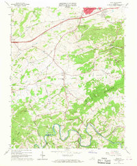
1965 Map of Riner
USGS Topo · Published 1968About this map
The town of Riner serves as the central hub of this mid-1960s landscape, situated between the southern outskirts of Christiansburg and the winding course of the Little River. The map highlights a rural community anchored by institutional landmarks such as Auburn High Sch and a dense network of country churches, including Edgemont Ch, Union Valley Ch, and Grace Ch. These small centers of worship and education are connected by a web of local roads that weave through the gaps of Pilot Mountain and past prominent elevations like Poorhouse Knob.
Find a feature on this map
44 named features on this map. Tap any name to fly to it.
Don’t see what you’re looking for? This feature index may not catch every label — zoom into the map to look around manually.
Map Details
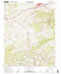
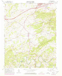
Editions of this 1965 Riner Map
3 editions found
Other maps of this area

1889 · Hillsville
USGS Topo · 1:125,000

1890 · Dublin
USGS Topo · 1:125,000

1890 · Christiansburg
USGS Topo · 1:125,000

1891 · Dublin
USGS Topo · 1:125,000

1892 · Hillsville
USGS Topo · 1:125,000

1896 · Hillsville
USGS Topo · 1:125,000

1932 · Blacksburg
USGS Topo · 1:48,000

1937 · Blacksburg
USGS Topo · 1:62,500

1950 · Radford
USGS Topo · 1:62,500

1953 · Winston-Salem
USGS Topo · 1:250,000