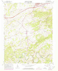
1965 Map of Riner
USGS Topo · Published 1978About this map
Christiansburg anchors the northern edge of this Blue Ridge landscape, where the modern path of I-81 and the N W Main railroad corridor meet. The terrain transitions from the developed outskirts of the town into a rural network of small communities like Riner, Rogers, and Elliott. The southern portion is defined by the winding course of the Little River, which forms the natural boundary between Montgomery and Floyd counties. Along this river, researchers can find Broad Shoals and Buck Shoals, alongside the recreational grounds of Camp Carysbrook.
Find a feature on this map
42 named features on this map. Tap any name to fly to it.
Don’t see what you’re looking for? This feature index may not catch every label — zoom into the map to look around manually.
Map Details
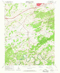
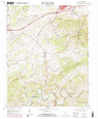
Editions of this 1965 Riner Map
3 editions found
Other maps of this area

1889 · Hillsville
USGS Topo · 1:125,000

1890 · Dublin
USGS Topo · 1:125,000

1890 · Christiansburg
USGS Topo · 1:125,000

1891 · Dublin
USGS Topo · 1:125,000

1892 · Hillsville
USGS Topo · 1:125,000

1896 · Hillsville
USGS Topo · 1:125,000

1932 · Blacksburg
USGS Topo · 1:48,000

1937 · Blacksburg
USGS Topo · 1:62,500

1950 · Radford
USGS Topo · 1:62,500

1953 · Winston-Salem
USGS Topo · 1:250,000