2000s (21st Century) Maps of Nottoway County, Virginia
Explore 50 historic maps of Nottoway County from the 2000s (21st Century). These maps offer a rare glimpse into what life looked like during the 2000s — showing old roads, neighborhoods, homes, and landmarks that have changed or disappeared over time.
Whether you're researching your family's past, planning a metal detecting trip, or studying how Nottoway County's landscape evolved across the 2000s, these high-resolution maps are a powerful tool for exploring the history of this region.
- Focus on a specific era: All maps on this page are from the 2000s, giving you a focused view of this time period.
- See what’s changed: Compare century-old streets, trails, and buildings to today's modern landscape using overlays and satellite layers.
- Research with precision: Use these maps for genealogy, historical research, land use analysis, or educational projects.
- View, download, or print: Maps are fully viewable online in high resolution, and can be downloaded or printed for your own records.
Start exploring Nottoway County's history through authentic maps from the 2000s. This is your window into the past.
Nottoway County, VA maps
(50)- 2010 Map of Jetersville, 2010 Print
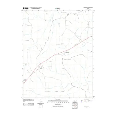 2010 Jetersville2010 Print · USGSAmelia County at the start of the 21st century reveals a landscape of quiet rural crossroads and winding creek branches. Genealogists and local historians can trace family-named landmarks and community sites like Salem Cemetery, Jetersville, and Manns Dam.
 - 2010 Map of Deatonville, 2010 Print
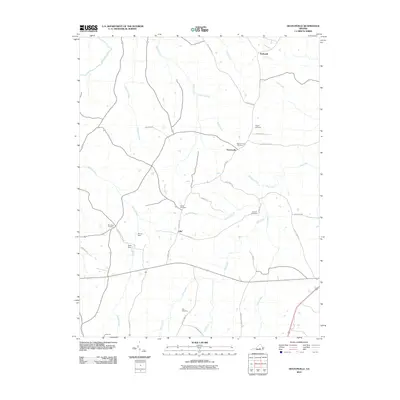 2010 Deatonville2010 Print · USGSAmelia County’s rural character is preserved in this study of the landscape near the turn of the decade. Genealogists and local historians can trace legacy sites like Pilgrim Cemetery, the Southall Cemetery, and the community of Deatonville.
 - 2010 Map of Crewe East, 2010 Print
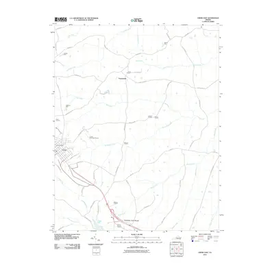 2010 Crewe East2010 Print · USGSCrewe and the surrounding Nottoway County countryside are captured here in the years following the turn of the millennium. Researchers can trace local heritage through several family-named landmarks and burial grounds, including Blendon Cemetery, Towler Cemetery, and the settlement at Fergusonville.
 - 2010 Map of Blackstone West, 2010 Print
 2010 Blackstone West2010 Print · USGSIn the western countryside of Nottoway County during the late 2000s, this area shows a landscape of small dams and historic crossroads. Genealogists and local historians can trace the roads connecting Blackstone to rural settlements like Irby, Murdocks, and Sneads Spring.
 - 2010 Map of Rubermont, 2010 Print
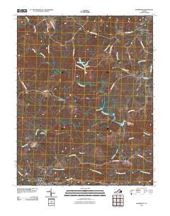 2010 Rubermont2010 Print · USGSLunenburg County at the start of the 2010s shows a quiet landscape of rural crossroads and river bottomlands. Genealogists and local historians can trace the road networks connecting Victoria and Rubermont to landmarks like Saint Marks Cemetery and Martins Corner.
 - 2010 Map of Crewe West, 2010 Print
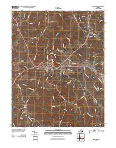 2010 Crewe West2010 Print · USGSNottoway County’s rail and road junctions are captured here in the early twenty-first century as they pass through historically significant crossroads. Genealogists can locate family burial grounds including Downs Cemetery and Vaughns Cemetery near settlements like Burkeville and Jennings Ordinary.
 - 2010 Map of Hebron, 2010 Print
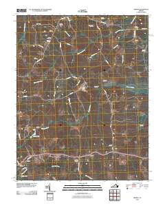 2010 Hebron2010 Print · USGSAmelia County remains a patchwork of family farms and historic homesteads in the early twenty-first century. Researchers can locate numerous family burial grounds like Craddock Cemetery and trace the local economy through sites like Hobbs Mill and Harris Store.
 - 2010 Map of Wellville, 2010 Print
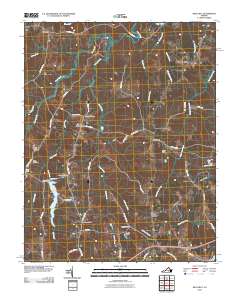 2010 Wellville2010 Print · USGSNottoway County maintains its traditional rural character in the early twenty-first century, anchored by the crossroads of Wellville. Researchers can locate family-named landmarks and old-line commerce sites like Pattersons Store, Spainville, and Bethel Cemetery.
 - 2010 Map of Danieltown, 2010 Print
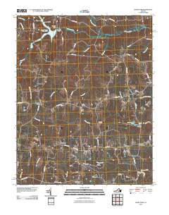 2010 Danieltown2010 Print · USGSBrunswick County in the early twenty-first century remains a landscape of crossroads hamlets and family legacies. Genealogists can trace ancestral ties through numerous burial sites like Bragg Cemetery and Jones Cemetery or locate the old Masons Mill.
 - 2010 Map of Blackstone East, 2010 Print
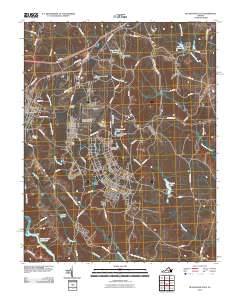 2010 Blackstone East2010 Print · USGSBlackstone and the surrounding Nottoway County landscape are captured here in the early twenty-first century. Researchers can trace the extensive grounds of the Fort Pickett Military Reserve or locate local landmarks like Dominy Corner and the Allen C Perkinson Municipal Airport.
 - 2013 Map of Danieltown, 2013 Print
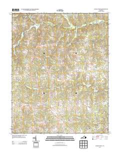 2013 Danieltown2013 Print · USGSThe crossroads and rural corners of Brunswick County come into focus during the early twenty-first century. Genealogists and local historians can locate legacy sites like Masons Mill, Bennets Crossroads, and the old commercial hub at Edmunds Store.
 - 2013 Map of Wellville, 2013 Print
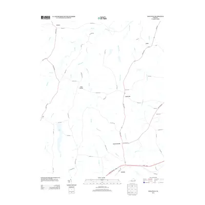 2013 Wellville2013 Print · USGSNottoway County’s rural crossroads and creek-side communities are well preserved here during the early 2010s. Researchers can trace the legacy of local settlements like Spainville and Clays Corner, or locate historical water features like Lake Lee and Namozine Cr.
 - 2013 Map of Blackstone East, 2013 Print
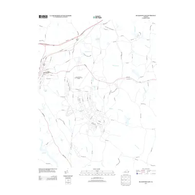 2013 Blackstone East2013 Print · USGSBlackstone and the eastern reaches of Nottoway County are shown here in the early 2010s, defined by the sprawling footprint of the Fort Pickett Military Reserve. Researchers can trace the military infrastructure at the Blackstone Army Airfield or explore local landmarks like Dominy Corner and Butterwood Lake.
 - 2013 Map of Deatonville, 2013 Print
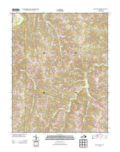 2013 Deatonville2013 Print · USGSAmelia County as it appeared in the early 2010s shows a landscape still deeply rooted in its rural crossroads and river-fed geography. Genealogists and researchers can trace the vicinity of Deatonville and Gills or follow old routes like Morrissetts Mill Rd.
 - 2013 Map of Rubermont, 2013 Print
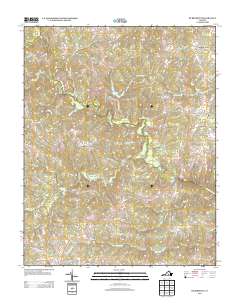 2013 Rubermont2013 Print · USGSLunenburg County in the early twenty-first century reveals a landscape of quiet rural crossroads and historical farmsteads north of the town of Victoria. Local historians can trace the paths of Lewiston Plank Rd and Old School House Rd to locate sites like Martins Corner, The Falls, and Spraggins Dairy Farm.
 - 2013 Map of Blackstone West, 2013 Print
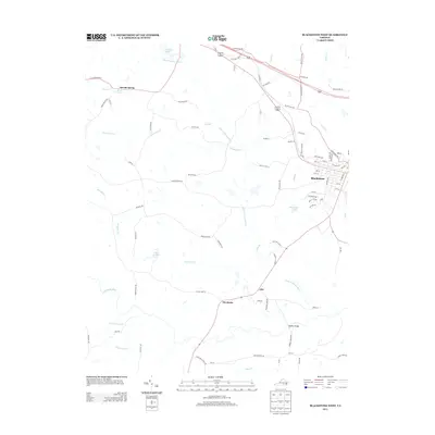 2013 Blackstone West2013 Print · USGSBlackstone and the rural heart of Nottoway County appear in detail during the early twenty-first century. Genealogists and historians can trace the landscape around Sneads Spring, Irby, and the waters of Lake Amtoco and the Little Nottoway River.
 - 2013 Map of Jetersville, 2013 Print
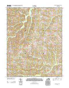 2013 Jetersville2013 Print · USGSJetersville and the surrounding Amelia County countryside are shown here in the early twenty-first century, before recent rural development. Genealogists can trace family-named roads and landmarks near the settlements of Maplewood and Truxillo or along the banks of Beaverpond Cr.
 - 2013 Map of Crewe West, 2013 Print
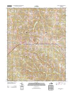 2013 Crewe West2013 Print · USGSNottoway County’s rural crossroads and rail corridors are preserved in this recent survey of the Southside Virginia landscape. Researchers can trace family-named routes and old settlements from Burkes Tavern to Burkeville and the western edge of Crewe.
 - 2013 Map of Crewe East, 2013 Print
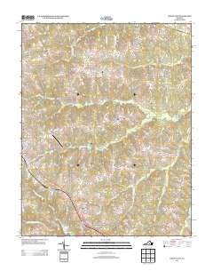 2013 Crewe East2013 Print · USGSNottoway County in the early twenty-first century maintains its rural character and historic crossroads. Genealogists and historians can trace the transition from the town of Crewe to the pastoral settings of Fergusonville and Nottoway Court House.
 - 2013 Map of Hebron, 2013 Print
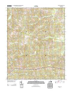 2013 Hebron2013 Print · USGSThe crossroads of southern Virginia come into focus in this early twenty-first-century survey of Amelia County. Genealogists and local historians can trace family-named routes and landmark sites like Hobbs Mill, the settlement of Hebron, and the waters of Namozine Creek.
 - 2016 Map of Danieltown, 2016 Print
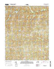 2016 Danieltown2016 Print · USGSBrunswick County at the midpoint of the 2010s remains a landscape of deep-rooted family history and quiet rural crossings. Genealogists can locate several family burial grounds including Stainback Cem and Bragg Cem, or trace landmarks like Masons Mill Pond.
 - 2016 Map of Rubermont, 2016 Print
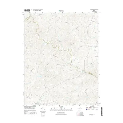 2016 Rubermont2016 Print · USGSVictoria and the surrounding Lunenburg County countryside are documented here in the mid-2010s. Researchers can trace family sites near Saint Marks Cem or follow the waters of the Nottoway River and Victoria Lake Modest Creek Reservoir.
 - 2016 Map of Crewe West, 2016 Print
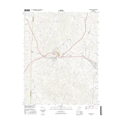 2016 Crewe West2016 Print · USGSNottoway County’s transition from a rail hub to a quiet rural landscape is documented here in the mid-2010s. Researchers can locate historic family landmarks and transit routes like Burkes Tavern, Wards Chapel Cem, and the historic Lewiston Plank Rd.
 - 2016 Map of Deatonville, 2016 Print
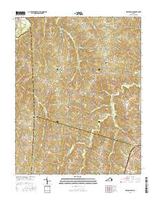 2016 Deatonville2016 Print · USGSAmelia County remains a landscape of deep-rooted rural communities and family legacies in the mid-2010s. Researchers can trace ancestral locations through numerous burial sites like Sandy Creek Cem and Star Hope Cem or follow the historic paths of Morrissetts Mill Rd.
 - 2016 Map of Crewe East, 2016 Print
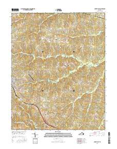 2016 Crewe East2016 Print · USGSNottoway County and the outskirts of Crewe are captured here in the mid-2010s, showing a landscape of traditional crossroads and family lands. Researchers can locate many small burial sites like Robinson Cem and Blendon Cem or trace the winding course of Winningham Cr.
Showing maps 1-25 of 50
Top cities of Nottoway County
Frequently asked questions
- What are the different types of historical maps available for Nottoway County?
- What is the oldest map of Nottoway County?
- Where can I purchase historical maps of Nottoway County for my home or office?
- Where can I download high-res historical maps of Nottoway County?
- Are there historical topographic maps available for Nottoway County?
- Is there historical aerial imagery available for Nottoway County?
- Where are historical maps of Nottoway County sourced from?