2020s Maps of Page County, Virginia
Explore 12 historic maps of Page County from the 2020s. These maps offer a rare glimpse into what life looked like during the 2020s — showing old roads, neighborhoods, homes, and landmarks that have changed or disappeared over time.
Whether you're researching your family's past, planning a metal detecting trip, or studying how Page County's landscape evolved across the 2020s, these high-resolution maps are a powerful tool for exploring the history of this region.
- Focus on a specific era: All maps on this page are from the 2020s, giving you a focused view of this time period.
- See what’s changed: Compare century-old streets, trails, and buildings to today's modern landscape using overlays and satellite layers.
- Research with precision: Use these maps for genealogy, historical research, land use analysis, or educational projects.
- View, download, or print: Maps are fully viewable online in high resolution, and can be downloaded or printed for your own records.
Start exploring Page County's history through authentic maps from the 2020s. This is your window into the past.
Page County, VA maps
(12)- 2022 Map of Stanley, 2022 Print
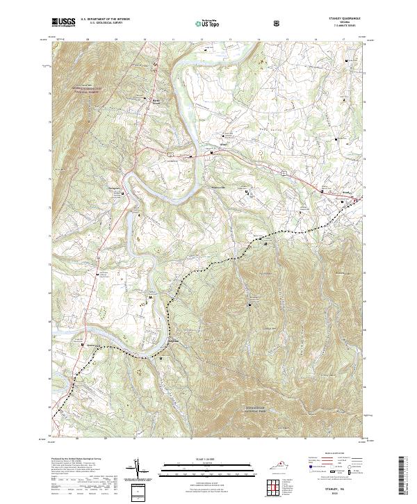 2022 Stanley2022 Print · USGSThe Page Valley comes into sharp focus in the 2020s, showing the rural communities along the South Fork Shenandoah River. Researchers can trace local lineage through dozens of named sites like Spitler Cem, Alma, and the Saint Luke Lutheran Church Cem.
 - 2022 Map of Big Meadows, 2022 Print
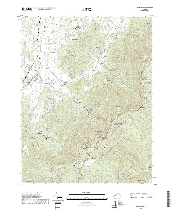 2022 Big Meadows2022 Print · USGSPage County is seen here during a modern era of conservation and mountain recreation, where the high ridges meet the valley floor. Genealogists and hikers can trace family sites like the Somers Family Cem or explore trails near Fishers Gap and Skyland.
 - 2022 Map of Luray, 2022 Print
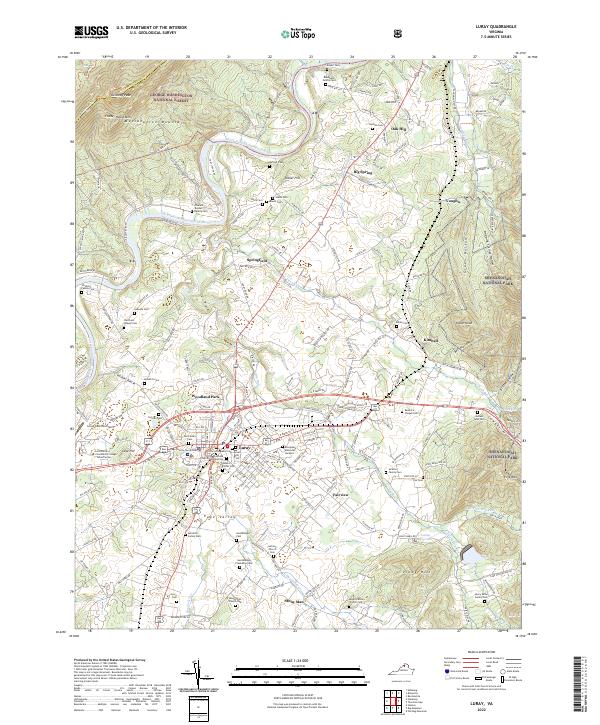 2022 Luray2022 Print · USGSThe Page Valley at the start of the 2020s shows a dense network of homesteads and family cemeteries nestled between the Shenandoah River and the Blue Ridge. Trace local history at the Hershberger Plantation Cem, the Page County Courthouse, and Luray.
 - 2022 Map of Tenth Legion, 2022 Print
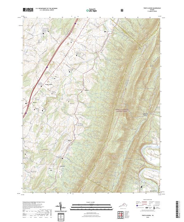 2022 Tenth Legion2022 Print · USGSRockingham County is seen here in the early 2020s, where the valley floor meets the high ridges of the George Washington National Forest. Genealogists can trace numerous family burial sites like the Zirkle - Driver Family Cem and Moore Family Burial Grounds, or locate the historic Catherine Furnace.
 - 2022 Map of Old Rag Mountain, 2022 Print
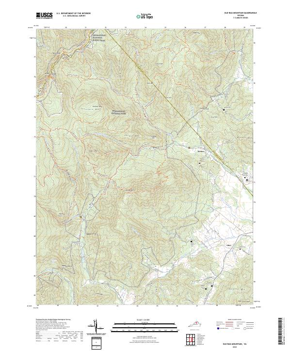 2022 Old Rag Mountain2022 Print · USGSMadison County, Virginia, is shown here during the 2020s, where the high peaks of the Blue Ridge meet the historical farming communities of the Piedmont. Genealogists and hikers can trace the intersection of mountain trails like the Saddle Trail with family-named landmarks like the Jenkins Cemetery and Adam Yowell Mountain.
 - 2022 Map of Rileyville, 2022 Print
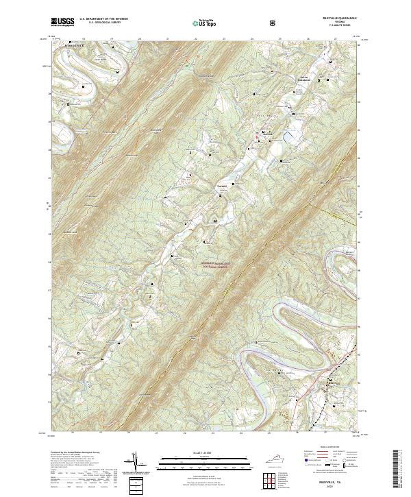 2022 Rileyville2022 Print · USGSThe Shenandoah Valley remains a landscape of traditional settlements and family farmsteads in the modern era. Genealogists can locate dozens of historic burial grounds like Clem McInturff Cem and O'Flaherty Cem, or trace the legacy of the Seven Fountains Sch.
 - 2022 Map of Bentonville, 2022 Print
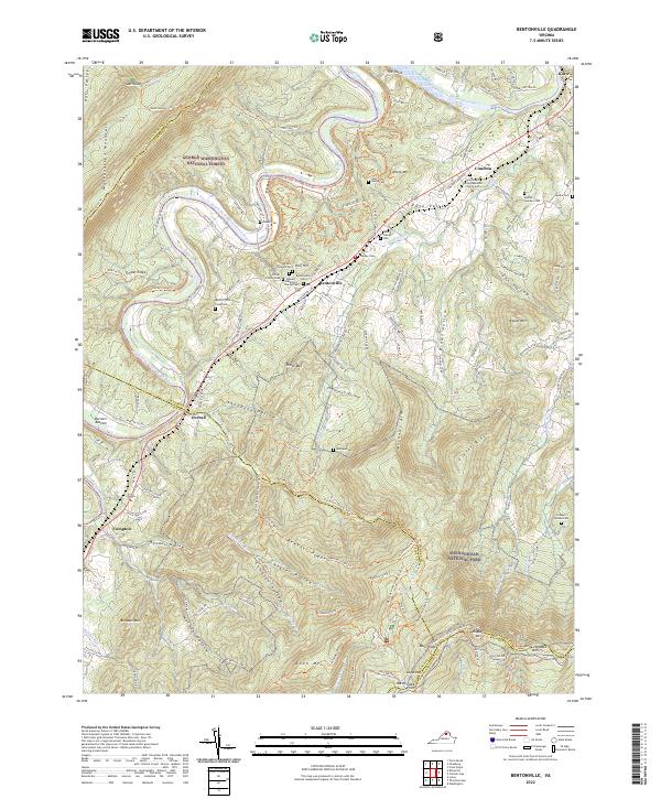 2022 Bentonville2022 Print · USGSWarren County and the Shenandoah Valley are shown here in the early twenty-first century, centered on the river's winding path between national forests. Genealogists can locate several family-named burial sites including Mauck Family Cem and the Updike Cem.
 - 2022 Map of Thornton Gap, 2022 Print
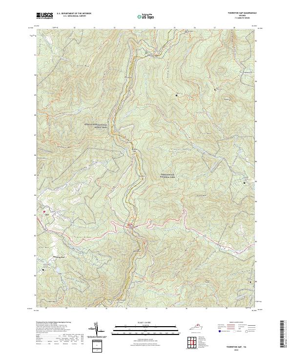 2022 Thornton Gap2022 Print · USGSThe high ridges of the Virginia Blue Ridge are mapped here in the early twenty-first century, spanning the border of Page and Rappahannock counties. Genealogists and hikers can trace remote family sites like Dwyer Cem and the Jenkins Leake Cem alongside the famous Appalachian National Scenic Trl.
 - 2022 Map of Hamburg, 2022 Print
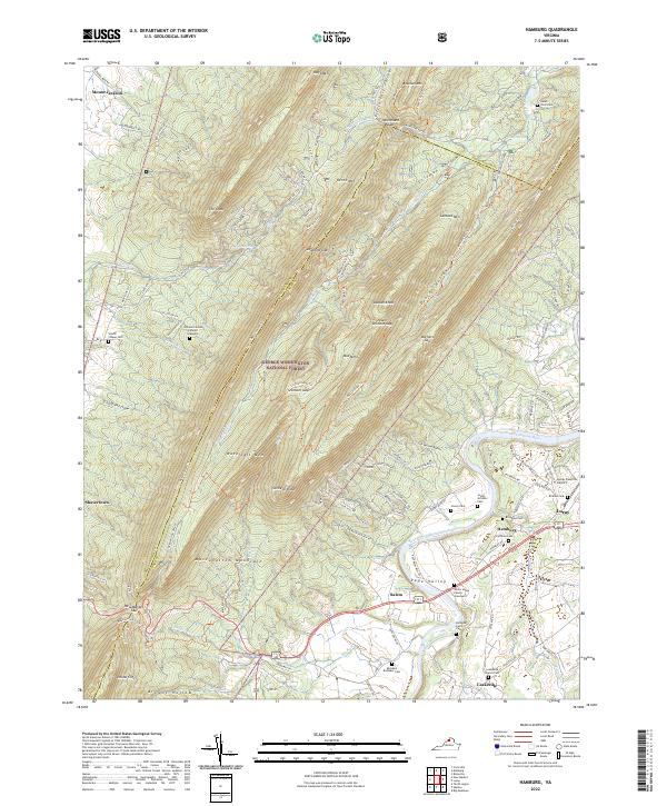 2022 Hamburg2022 Print · USGSPage County in the early 2020s shows a landscape where high Massanutten ridges meet the river valley's deep family roots. Researchers can trace numerous local lineage sites like the White House Family Graveyard, Rothgeb Family Cem, and Stover Cem.
 - 2022 Map of Fletcher, 2022 Print
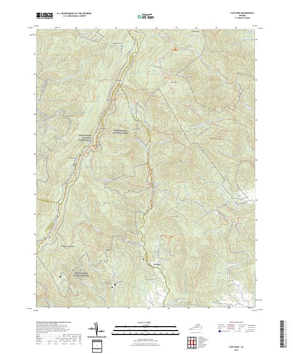 2022 Fletcher2022 Print · USGSThe high peaks and deep hollows of the Blue Ridge are documented here in the early twenty-first century. Genealogists and hikers can trace remote landmarks like Lower Pocosin Mission Cem, Bear Church Rock, and the settlement of Fletcher.
 - 2022 Map of Elkton East, 2022 Print
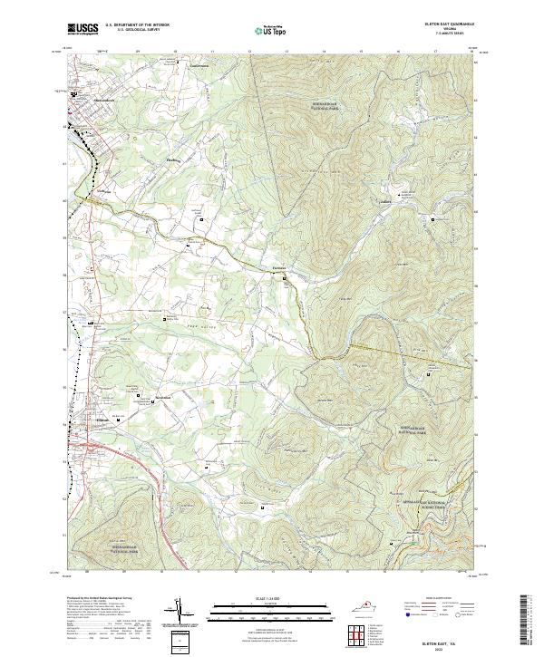 2022 Elkton East2022 Print · USGSThe eastern Blue Ridge and the Shenandoah Valley meet here, showing a landscape defined by high mountain ridges and deep hollows. Genealogists can trace family names through numerous burial sites like the Merica Family Cem, Samuels Cem, and Ed Hensley Cem.
 - 2022 Map of Elkton West, 2022 Print
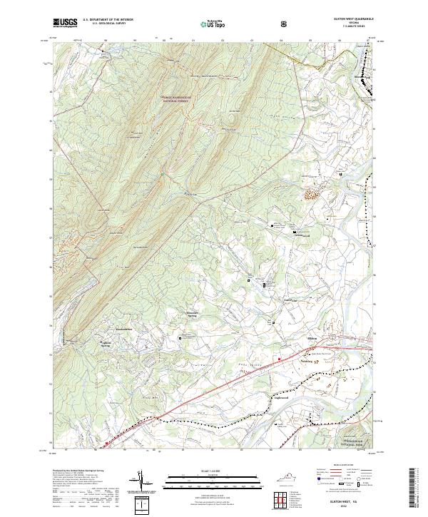 2022 Elkton West2022 Print · USGSThe rural Shenandoah Valley is captured here just as the modern decade began, spanning the gap between the national forest and the national park. Genealogists can trace family roots through numerous local burial grounds, including McCoy Cem, Dofflemyer Cem, and the Upper Room Church Cem.
End of results
Showing maps 1-12 of 12
Top cities of Page County
Frequently asked questions
- What are the different types of historical maps available for Page County?
- What is the oldest map of Page County?
- Where can I purchase historical maps of Page County for my home or office?
- Where can I download high-res historical maps of Page County?
- Are there historical topographic maps available for Page County?
- Is there historical aerial imagery available for Page County?
- Where are historical maps of Page County sourced from?