Old Maps of Massies Corner, Virginia for Metal Detecting
Plan your next treasure hunt with 13 historic maps of Massies Corner. Find old homesites, ghost towns, trails, and gathering spots that may be lost to time — perfect for identifying promising metal detecting locations.
- Locate forgotten sites: Uncover places like long-lost settlements, abandoned rail lines, or gathering spots.
- Plan better hunts: Use map overlays combined with LiDAR or satellite views to narrow in on historically rich areas.
- Made for detectorists: Thousands of hobbyists use these maps to discover relics, coins, and hidden history.
Use these historic maps to boost your research and find new opportunities beneath the surface of Massies Corner.
Massies Corner, VA maps
(13)- 1893 Map of Luray, 1898 Print
 1893 Luray1898 Print · USGSThe Shenandoah Valley in the 1890s was a land of steep mountain ridges and vital new railways. Genealogists and historians can trace old homesteads and depots along the Shenandoah Valley Railroad or find remote hamlets like Seven Fountains and Browntown.
 - 1905 Map of Luray, 1910 Print
 1905 Luray1910 Print · USGSThe Blue Ridge and Shenandoah Valley are frozen in time just after the turn of the century, showing the critical rail networks and mountain gaps of the period. Genealogists can trace family names and settlements like Luray, Front Royal, and Strasburg along the Shenandoah Valley Railroad.4 unique versions available
 - 1949 Map of Charlottesville
 1949 Charlottesville1949 Print · USGSThe Shenandoah Valley and Blue Ridge appear in the late 1940s as a thriving corridor of rail and river commerce. Researchers can trace the mid-century footprints of Harrisonburg, Staunton, and Culpeper alongside the historic routes of the Southern Railway.2 unique versions available
 - 1956 Map of Charlottesville, 1966 Print
 1956 Charlottesville1966 Print · USGSThe Shenandoah Valley and Blue Ridge are captured in detail during the mid-1960s as the modern interstate system began to emerge. Genealogists and historians can trace rail-connected hubs like Waynesboro or follow the river paths of the Rapidan River and Rivanna River.4 unique versions available
 - 1961 Map of Sperryville, 1962 Print
 1961 Sperryville1962 Print · USGSVirginia's Piedmont and the Blue Ridge foothills come alive in this early 1960s survey of Rappahannock and Culpeper counties. Genealogists and historians can trace numerous milling communities like Monumental Mills and Peola Mills alongside local landmarks such as Hope Hill Chapel.2 unique versions available
 - 1971 Map of Massies Corner, 1972 Print
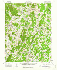
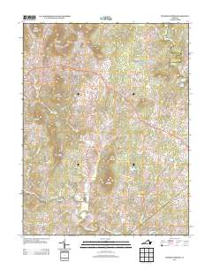
 1971 Massies Corner1972 Print · USGSThe rural Virginia Piedmont comes to life in the early seventies, centered on the historic crossroads of Massies Corner and Amissville. Genealogists and historians can locate family cemeteries, country churches like Mt Moriah Ch, and the mills along the Thornton River.3 unique versions available
 - 1986 Map of Front Royal
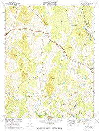
 1986 Front Royal1986 Print · USGSThe northern Shenandoah Valley and the Blue Ridge crest are captured here in the mid-eighties as modern highways began to bypass historic valley towns. Researchers can trace ancestral connections near Peola Mills, navigate the gaps like Manassas Gap, or study the river bends around Luray.3 unique versions available
 - 1994 Map of Massies Corner, 1997 Print
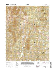
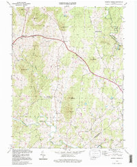 1994 Massies Corner1997 Print · USGSThe Virginia Piedmont of the mid-nineties is captured here at the intersection of three counties, showing a landscape defined by river valleys and prominent peaks. Researchers can locate community anchors like Battle Run Ch, the Drive-in Theater at Massies Corner, and the small settlement of Laurel Mills.
 - 2010 Map of Massies Corner, 2010 Print
 2010 Massies Corner2010 Print · USGSCovers Massies Corner, including Fauquier County, Culpeper County, and other nearby areas
 - 2013 Map of Massies Corner, 2013 Print
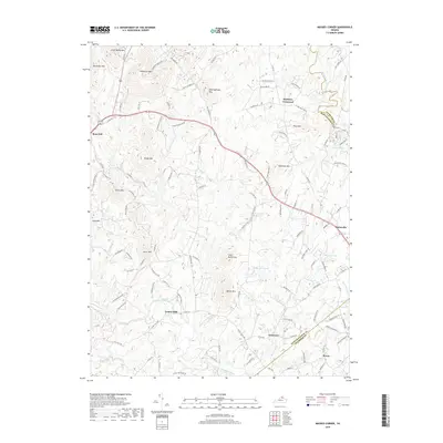
 2013 Massies Corner2013 Print · USGSCovers Massies Corner, including Fauquier County, Culpeper County, and other nearby areas
 - 2016 Map of Massies Corner, 2016 Print
 2016 Massies Corner2016 Print · USGSCovers Massies Corner, including Fauquier County, Culpeper County, and other nearby areas
 - 2019 Map of Massies Corner, 2019 Print
 2019 Massies Corner2019 Print · USGSCovers Massies Corner, including Fauquier County, Culpeper County, and other nearby areas
 - 2022 Map of Massies Corner, 2022 Print
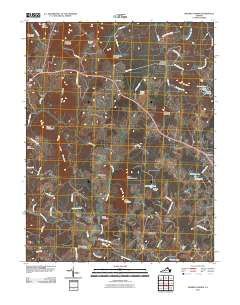
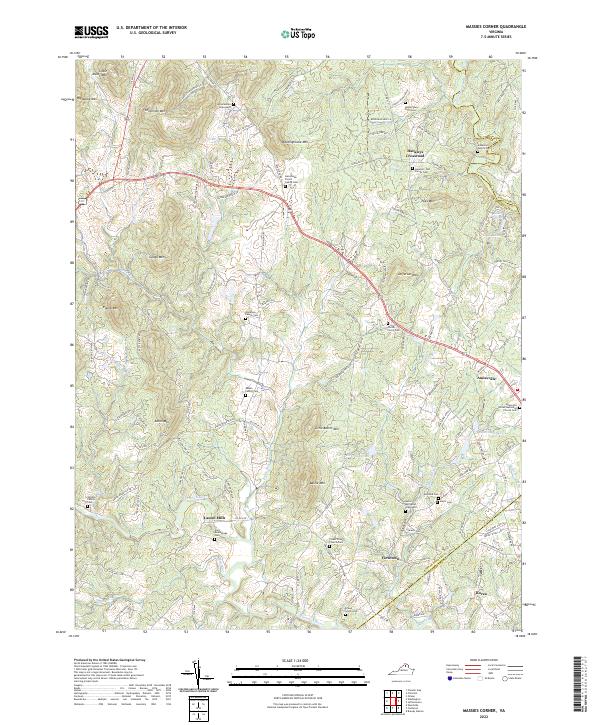 2022 Massies Corner2022 Print · USGSRappahannock County’s rolling piedmont landscape is captured here in the early twenty-first century, showing a region deeply tied to its family-named peaks and river valleys. Researchers can trace ancestral roots through dozens of private burial sites like the Amiss and Alsop Graveyard or the Corder - Pierce Cem near the banks of Battle Run.
End of results
Showing maps 1-13 of 13
Top cities near Massies Corner
- Front Royal historical maps
- Shenandoah Farms historical maps
- Apple Mountain Lake historical maps
- Chester Gap historical maps
- Skyland Estates historical maps
- Flint Hill historical maps
See more
Frequently asked questions
- What are the different types of historical maps available for Massies Corner?
- What is the oldest map of Massies Corner?
- Where can I purchase historical maps of Massies Corner for my home or office?
- Where can I download high-res historical maps of Massies Corner?
- Are there historical topographic maps available for Massies Corner?
- Is there historical aerial imagery available for Massies Corner?
- Where are historical maps of Massies Corner sourced from?