Old Maps of Timberville, Virginia for Hiking & Exploration
Hike through history with 19 historic maps of Timberville. Explore old trails, ghost towns, and forgotten backroads — perfect for outdoor adventurers and local explorers.
- Rediscover forgotten places: Map out old mining camps, roads, and footpaths that no longer exist on modern maps.
- Layer with modern tools: Combine with LiDAR or satellite views to plan hikes through historical terrain.
- Made for exploration: Popular among hikers, overlanders, and local history lovers.
Use these maps to find adventure and explore the hidden past of Timberville.
Timberville, VA maps
(19)- 1892 Map of Woodstock, 1898 Print
 1892 Woodstock1898 Print · USGSThe Shenandoah Valley in the 1890s is captured here as a landscape of river-driven towns and mountain iron furnaces. Researchers can trace family roots in Woodstock or Edinburg and locate historic industrial sites like Liberty Furnace and Columbia Furnace.5 unique versions available
 - 1947 Map of Broadway, 1959 Print
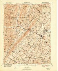
 1947 Broadway1959 Print · USGSRockingham County at the mid-century shows a landscape of river-valley agriculture and rugged forest ridges. Genealogists can trace family roots through historic sites like Singers Glen, Lacey Spring, and landmarks like Melrose Caverns.2 unique versions available
 - 1949 Map of Charlottesville
 1949 Charlottesville1949 Print · USGSThe Shenandoah Valley and Blue Ridge appear in the late 1940s as a thriving corridor of rail and river commerce. Researchers can trace the mid-century footprints of Harrisonburg, Staunton, and Culpeper alongside the historic routes of the Southern Railway.2 unique versions available
 - 1950 Map of Broadway
 1950 Broadway1950 Print · USGSRockingham County at the mid-century mark shows a landscape defined by the Southern railroad and the North Fork River. Genealogists and historians can trace family locations near Singers Glen, Lacey Spring, and dozens of landmarks like Trissel Ch.
 - 1956 Map of Charlottesville, 1966 Print
 1956 Charlottesville1966 Print · USGSThe Shenandoah Valley and Blue Ridge are captured in detail during the mid-1960s as the modern interstate system began to emerge. Genealogists and historians can trace rail-connected hubs like Waynesboro or follow the river paths of the Rapidan River and Rivanna River.4 unique versions available
 - 1967 Map of Broadway, 1969 Print
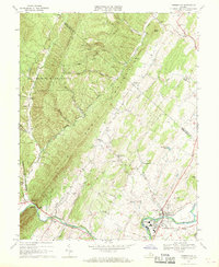
 1967 Broadway1969 Print · USGSThe Shenandoah Valley landscape near Broadway shows a pattern of river-and-rail development during the late sixties. Genealogists and historians can trace family locations through numerous churches and schools, such as Cedar Run Ch and the Linville-Edom Sch.3 unique versions available
 - 1967 Map of Timberville, 1969 Print
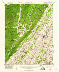
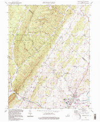
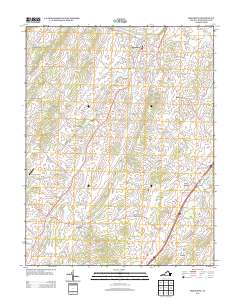
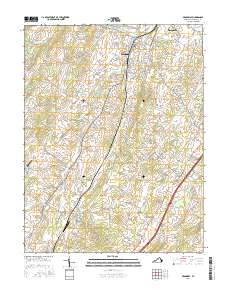
 1967 Timberville1969 Print · USGSRockingham and Shenandoah counties are captured in the late sixties as traditional valley life met mid-century industrial growth. Researchers can locate family landmarks like Moores Store, Cootes Store, and several rural houses of worship including Bethel Ch.3 unique versions available
 - 1986 Map of Front Royal
 1986 Front Royal1986 Print · USGSThe northern Shenandoah Valley and the Blue Ridge crest are captured here in the mid-eighties as modern highways began to bypass historic valley towns. Researchers can trace ancestral connections near Peola Mills, navigate the gaps like Manassas Gap, or study the river bends around Luray.3 unique versions available
 - 1994 Map of Timberville, 1997 Print
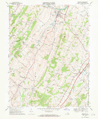
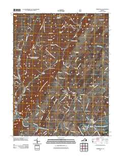
 1994 Timberville1997 Print · USGSThe Shenandoah Valley and its mountain borders are captured in the mid-1990s as the river-and-road economy evolved. Genealogists and local historians can trace rural communities like Moores Store, Honeyville, and Timberville alongside landmarks like Mt Olivet Ch.
 - 2010 Map of Broadway, 2010 Print
 2010 Broadway2010 Print · USGSCovers Timberville, including Broadway, Linville, and other nearby areas
 - 2011 Map of Timberville, 2011 Print
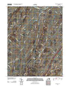
 2011 Timberville2011 Print · USGSCovers Timberville, including Honeyville, Tunis, and other nearby areas
 - 2013 Map of Timberville, 2013 Print
 2013 Timberville2013 Print · USGSCovers Timberville, including Honeyville, Tunis, and other nearby areas
 - 2013 Map of Broadway, 2013 Print
 2013 Broadway2013 Print · USGSCovers Timberville, including Broadway, Linville, and other nearby areas
 - 2016 Map of Timberville, 2016 Print
 2016 Timberville2016 Print · USGSCovers Timberville, including Honeyville, Tunis, and other nearby areas
 - 2016 Map of Broadway, 2016 Print
 2016 Broadway2016 Print · USGSCovers Timberville, including Broadway, Linville, and other nearby areas
 - 2019 Map of Timberville, 2019 Print
 2019 Timberville2019 Print · USGSCovers Timberville, including Honeyville, Tunis, and other nearby areas
 - 2019 Map of Broadway, 2019 Print
 2019 Broadway2019 Print · USGSCovers Timberville, including Broadway, Linville, and other nearby areas
 - 2022 Map of Timberville, 2022 Print
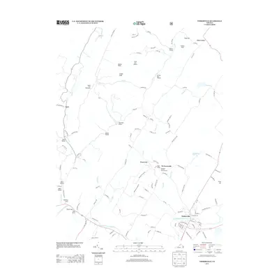
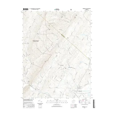
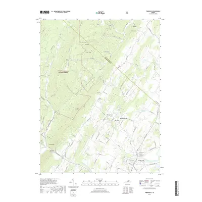
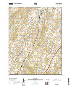
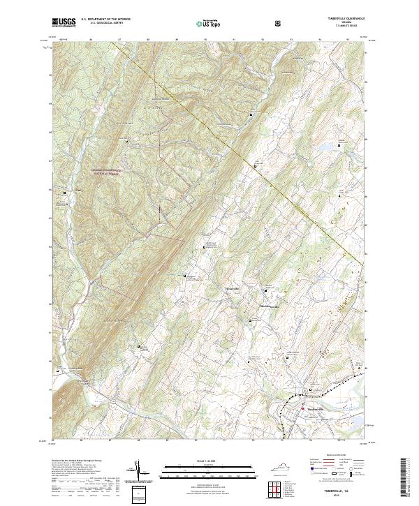 2022 Timberville2022 Print · USGSIn the Shenandoah Valley, the communities surrounding Timberville and Mechanicsville thrive along the North Fork Shenandoah River. Genealogists can trace deep local roots at the Fort Run Home Plantation and numerous private burial grounds like the Reuben Moore Cem.
 - 2022 Map of Broadway, 2022 Print
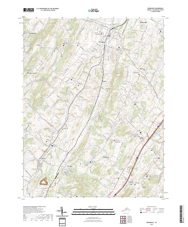 2022 Broadway2022 Print · USGSIn the early twenty-first century, this part of the Shenandoah Valley remains a landscape of tightly knit agricultural communities and family homesteads. Researchers can trace ancestral roots through dozens of sites like the Lincoln Family Cem, Zenda, and Trissels Mennonite Church Cem.
End of results
Showing maps 1-19 of 19
Top cities near Timberville
- Harrisonburg historical maps
- Broadway historical maps
- Elkton historical maps
- Shenandoah historical maps
- New Market historical maps
- Mount Jackson historical maps
See more
Frequently asked questions
- What are the different types of historical maps available for Timberville?
- What is the oldest map of Timberville?
- Where can I purchase historical maps of Timberville for my home or office?
- Where can I download high-res historical maps of Timberville?
- Are there historical topographic maps available for Timberville?
- Is there historical aerial imagery available for Timberville?
- Where are historical maps of Timberville sourced from?