Old Maps of Timberville, Virginia for Metal Detecting
Plan your next treasure hunt with 19 historic maps of Timberville. Find old homesites, ghost towns, trails, and gathering spots that may be lost to time — perfect for identifying promising metal detecting locations.
- Locate forgotten sites: Uncover places like long-lost settlements, abandoned rail lines, or gathering spots.
- Plan better hunts: Use map overlays combined with LiDAR or satellite views to narrow in on historically rich areas.
- Made for detectorists: Thousands of hobbyists use these maps to discover relics, coins, and hidden history.
Use these historic maps to boost your research and find new opportunities beneath the surface of Timberville.
Timberville, VA maps
(19)- 1892 Map of Woodstock, 1898 Print
 1892 Woodstock1898 Print · USGSThe Shenandoah Valley in the 1890s is captured here as a landscape of river-driven towns and mountain iron furnaces. Researchers can trace family roots in Woodstock or Edinburg and locate historic industrial sites like Liberty Furnace and Columbia Furnace.5 unique versions available
 - 1947 Map of Broadway, 1959 Print
 1947 Broadway1959 Print · USGSRockingham County at the mid-century shows a landscape of river-valley agriculture and rugged forest ridges. Genealogists can trace family roots through historic sites like Singers Glen, Lacey Spring, and landmarks like Melrose Caverns.2 unique versions available
 - 1949 Map of Charlottesville
 1949 Charlottesville1949 Print · USGSThe Shenandoah Valley and Blue Ridge appear in the late 1940s as a thriving corridor of rail and river commerce. Researchers can trace the mid-century footprints of Harrisonburg, Staunton, and Culpeper alongside the historic routes of the Southern Railway.2 unique versions available
 - 1950 Map of Broadway
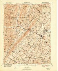 1950 Broadway1950 Print · USGSRockingham County at the mid-century mark shows a landscape defined by the Southern railroad and the North Fork River. Genealogists and historians can trace family locations near Singers Glen, Lacey Spring, and dozens of landmarks like Trissel Ch.
 - 1956 Map of Charlottesville, 1966 Print
 1956 Charlottesville1966 Print · USGSThe Shenandoah Valley and Blue Ridge are captured in detail during the mid-1960s as the modern interstate system began to emerge. Genealogists and historians can trace rail-connected hubs like Waynesboro or follow the river paths of the Rapidan River and Rivanna River.4 unique versions available
 - 1967 Map of Broadway, 1969 Print
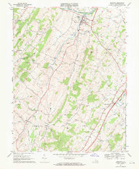 1967 Broadway1969 Print · USGSThe Shenandoah Valley landscape near Broadway shows a pattern of river-and-rail development during the late sixties. Genealogists and historians can trace family locations through numerous churches and schools, such as Cedar Run Ch and the Linville-Edom Sch.3 unique versions available
 - 1967 Map of Timberville, 1969 Print
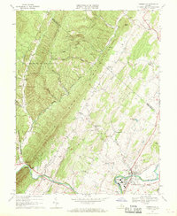 1967 Timberville1969 Print · USGSRockingham and Shenandoah counties are captured in the late sixties as traditional valley life met mid-century industrial growth. Researchers can locate family landmarks like Moores Store, Cootes Store, and several rural houses of worship including Bethel Ch.3 unique versions available
 - 1986 Map of Front Royal
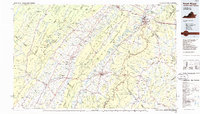 1986 Front Royal1986 Print · USGSThe northern Shenandoah Valley and the Blue Ridge crest are captured here in the mid-eighties as modern highways began to bypass historic valley towns. Researchers can trace ancestral connections near Peola Mills, navigate the gaps like Manassas Gap, or study the river bends around Luray.3 unique versions available
 - 1994 Map of Timberville, 1997 Print
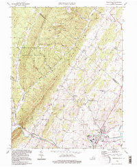 1994 Timberville1997 Print · USGSThe Shenandoah Valley and its mountain borders are captured in the mid-1990s as the river-and-road economy evolved. Genealogists and local historians can trace rural communities like Moores Store, Honeyville, and Timberville alongside landmarks like Mt Olivet Ch.
 - 2010 Map of Broadway, 2010 Print
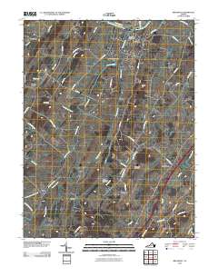 2010 Broadway2010 Print · USGSRockingham County at the start of the 2010s reveals a landscape of enduring valley settlements and winding watercourses. Genealogists can locate family landmarks near Lacey Spring and Edom, or trace the grounds of Pine Grove Cemetery.
 - 2011 Map of Timberville, 2011 Print
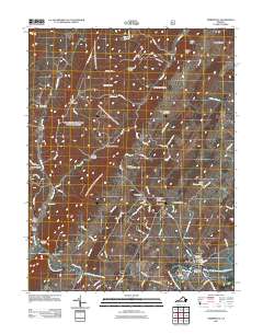 2011 Timberville2011 Print · USGSRockingham County is captured here in the early 2000s, where the river valley meets the northern ridges. Researchers can trace land tracts near Timberville and locate several community landmarks including Saint Lukes Cemetery and Showalters Orchard and Greenhouse.
 - 2013 Map of Timberville, 2013 Print
 2013 Timberville2013 Print · USGSTimberville and the surrounding Shenandoah Valley ridges are captured here during the early twenty-first century. Researchers can trace the layout of small crossroads communities like Honeyville and Mechanicsville or locate landmarks such as Chimney Rock and the Showalters Orchard and Greenhouse.
 - 2013 Map of Broadway, 2013 Print
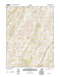 2013 Broadway2013 Print · USGSThe Shenandoah Valley north of Harrisonburg appears in this detailed record of the early twenty-first century. Genealogists and local historians can trace the road networks connecting Turleytown, Lacey Spring, and Linville, alongside landmarks like Joe's Creek Airport.
 - 2016 Map of Timberville, 2016 Print
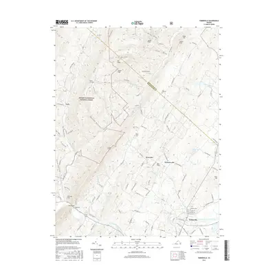 2016 Timberville2016 Print · USGSThe Shenandoah Valley and North Mountain ridges meet in this 2016 survey of the Shenandoah and Rockingham county line. Genealogists and local historians can trace the valley's settlement through Timberville Cem, Honeyville, and landmarks like Chimney Rock at Brocks Gap.
 - 2016 Map of Broadway, 2016 Print
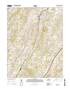 2016 Broadway2016 Print · USGSRockingham County settlements flourish along the North Fork Shenandoah River and its tributaries during the mid-2010s. Genealogists and local historians can trace family locations near Lacey Spring, the Pine Grove Cem, and the historic Linville Creek Bridge.
 - 2019 Map of Timberville, 2019 Print
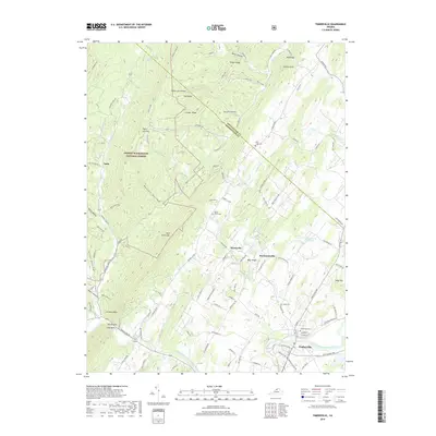 2019 Timberville2019 Print · USGSTimberville and the surrounding Shenandoah Valley ridges are documented here in the late twenty-teens as the landscape transitions into the national forest. Researchers can locate family burial sites at Timberville Cem and Mount Olivet Cem or trace the geography of Brocks Gap and Honeyville.
 - 2019 Map of Broadway, 2019 Print
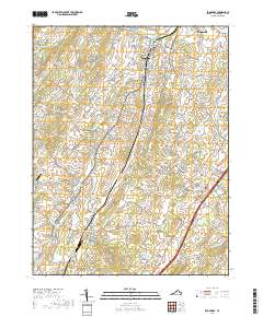 2019 Broadway2019 Print · USGSRockingham County’s rural character and small-town centers are preserved in this 2010s survey of the Shenandoah Valley. Researchers can trace family sites near Lacey Spring, locate Pine Grove Cem, or follow the Norfolk Southern rail line.
 - 2022 Map of Timberville, 2022 Print
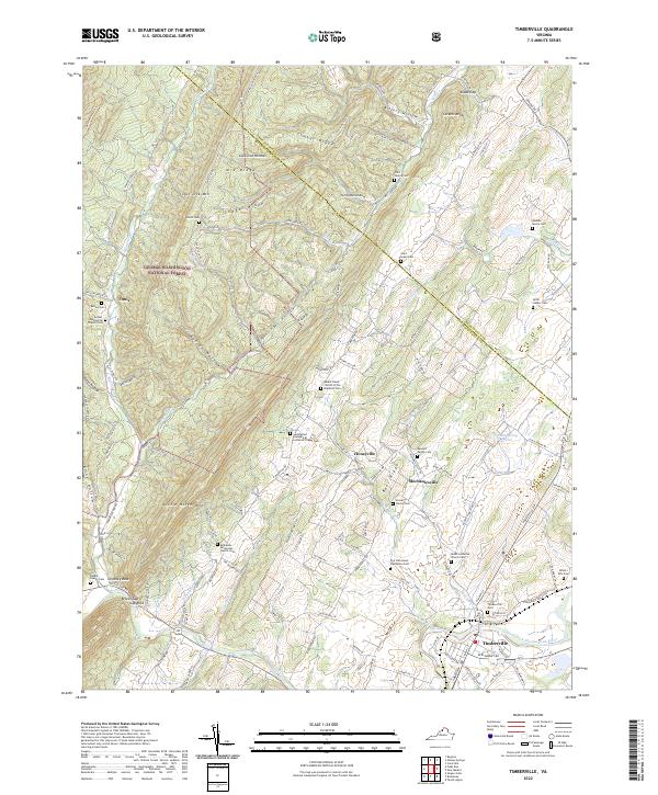 2022 Timberville2022 Print · USGSIn the Shenandoah Valley, the communities surrounding Timberville and Mechanicsville thrive along the North Fork Shenandoah River. Genealogists can trace deep local roots at the Fort Run Home Plantation and numerous private burial grounds like the Reuben Moore Cem.
 - 2022 Map of Broadway, 2022 Print
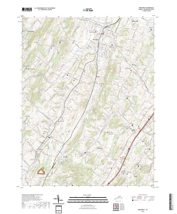 2022 Broadway2022 Print · USGSIn the early twenty-first century, this part of the Shenandoah Valley remains a landscape of tightly knit agricultural communities and family homesteads. Researchers can trace ancestral roots through dozens of sites like the Lincoln Family Cem, Zenda, and Trissels Mennonite Church Cem.
End of results
Showing maps 1-19 of 19
Top cities near Timberville
- Harrisonburg historical maps
- Broadway historical maps
- Elkton historical maps
- Shenandoah historical maps
- New Market historical maps
- Mount Jackson historical maps
See more
Frequently asked questions
- What are the different types of historical maps available for Timberville?
- What is the oldest map of Timberville?
- Where can I purchase historical maps of Timberville for my home or office?
- Where can I download high-res historical maps of Timberville?
- Are there historical topographic maps available for Timberville?
- Is there historical aerial imagery available for Timberville?
- Where are historical maps of Timberville sourced from?