2000s (21st Century) Maps of Russell County, Virginia
Explore 18 historic maps of Russell County from the 2000s (21st Century). These maps offer a rare glimpse into what life looked like during the 2000s — showing old roads, neighborhoods, homes, and landmarks that have changed or disappeared over time.
Whether you're researching your family's past, planning a metal detecting trip, or studying how Russell County's landscape evolved across the 2000s, these high-resolution maps are a powerful tool for exploring the history of this region.
- Focus on a specific era: All maps on this page are from the 2000s, giving you a focused view of this time period.
- See what’s changed: Compare century-old streets, trails, and buildings to today's modern landscape using overlays and satellite layers.
- Research with precision: Use these maps for genealogy, historical research, land use analysis, or educational projects.
- View, download, or print: Maps are fully viewable online in high resolution, and can be downloaded or printed for your own records.
Start exploring Russell County's history through authentic maps from the 2000s. This is your window into the past.
Russell County, VA maps
(18)- 2022 Map of Keen Mountain, 2022 Print
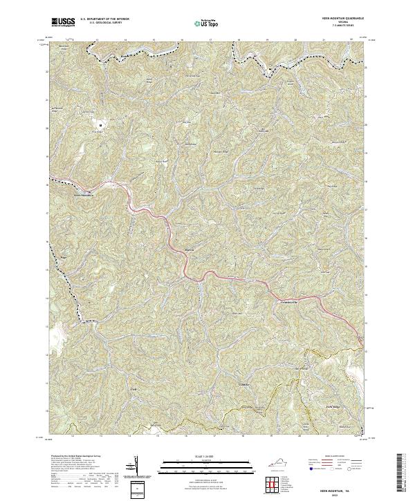 2022 Keen Mountain2022 Print · USGSCovers Russell County, including Horn, Clell, and other nearby areas
 - 2022 Map of Honaker, 2022 Print
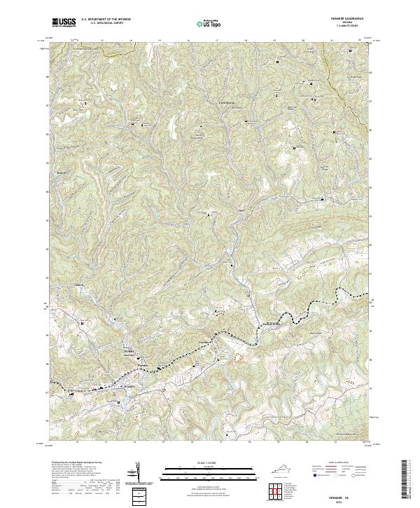 2022 Honaker2022 Print · USGSCovers Russell County, including Honaker, Laurel, and other nearby areas
 - 2022 Map of Richlands, 2022 Print
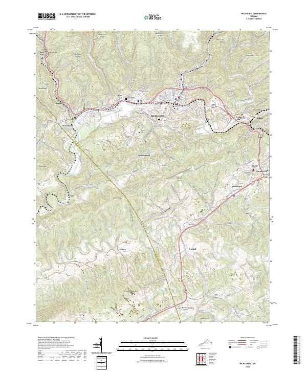 2022 Richlands2022 Print · USGSCovers Russell County, including Richlands, Raven, and other nearby areas
 - 2022 Map of Hayters Gap, 2022 Print
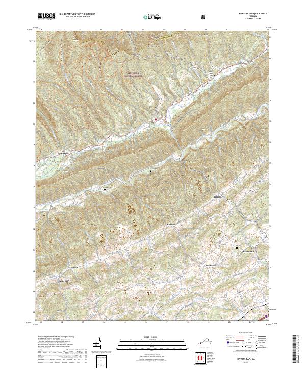 2022 Hayters Gap2022 Print · USGSCovers Russell County, including Duncanville, Giesley Mill, and other nearby areas
 - 2022 Map of Elk Garden, 2022 Print
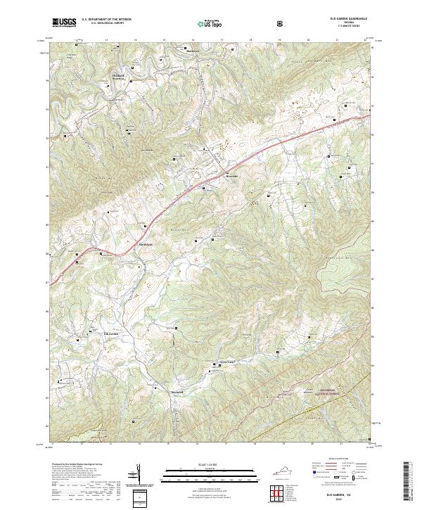 2022 Elk Garden2022 Print · USGSCovers Russell County, including Blackford, Elk Garden, and other nearby areas
 - 2022 Map of Saltville, 2022 Print
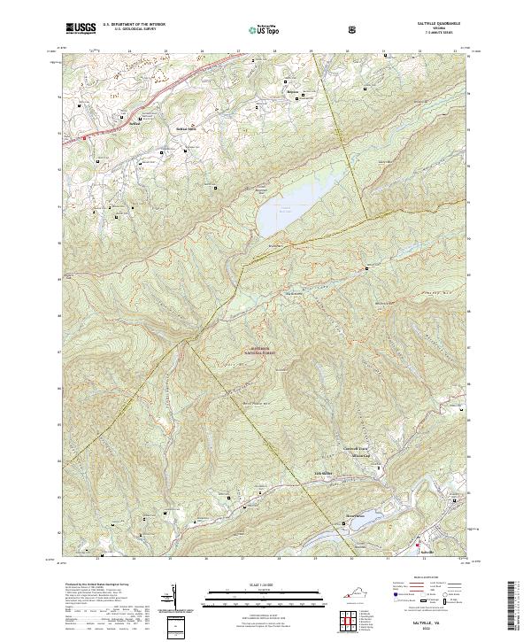 2022 Saltville2022 Print · USGSCovers Russell County, including Saltville, Belfast, and other nearby areas
 - 2022 Map of Dungannon, 2022 Print
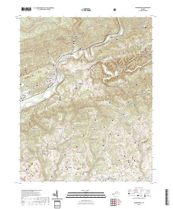 2022 Dungannon2022 Print · USGSCovers Russell County, including Nickelsville, Dungannon, and other nearby areas
 - 2022 Map of Moll Creek, 2022 Print
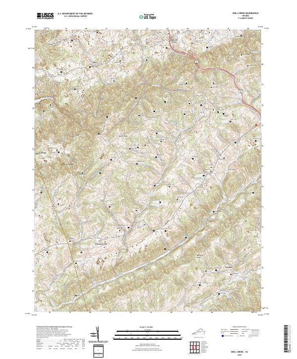 2022 Moll Creek2022 Print · USGSCovers Russell County, including Castlewood, Tumbez, and other nearby areas
 - 2022 Map of Carbo, 2022 Print
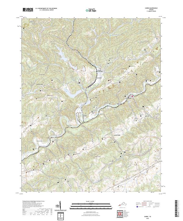 2022 Carbo2022 Print · USGSCovers Russell County, including Cleveland, Clinchfield, and other nearby areas
 - 2022 Map of Hansonville, 2022 Print
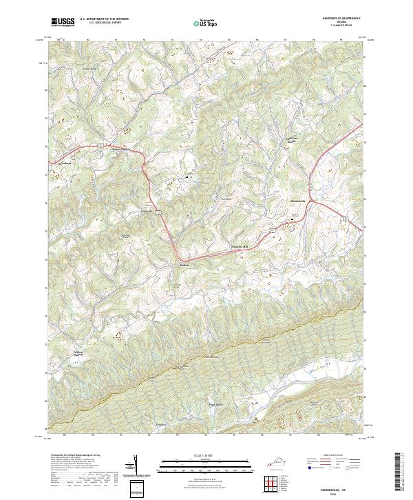 2022 Hansonville2022 Print · USGSCovers Russell County, including Dickensonville, Zenobia, and other nearby areas
 - 2022 Map of Brumley, 2022 Print
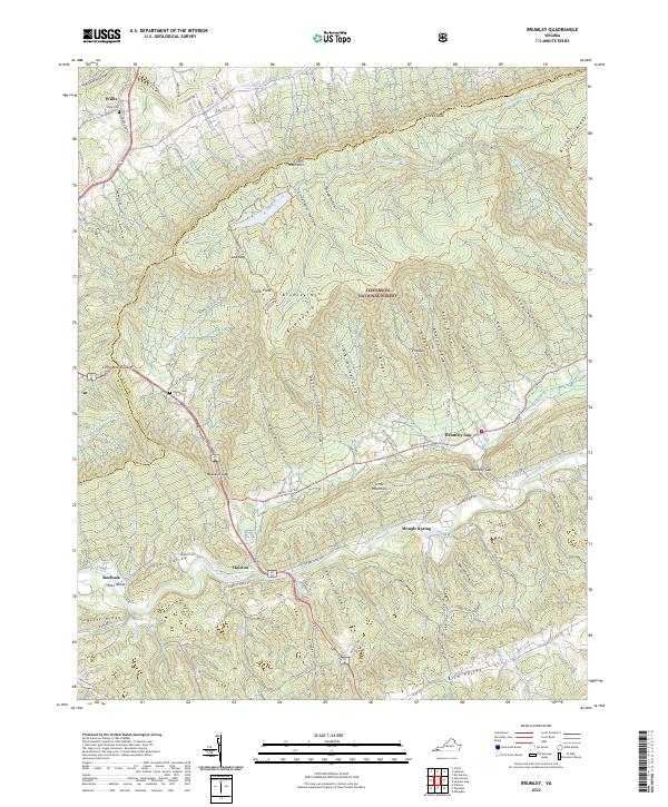 2022 Brumley2022 Print · USGSCovers Russell County, including Brumley Gap, Roebuck, and other nearby areas
 - 2022 Map of Mendota, 2022 Print
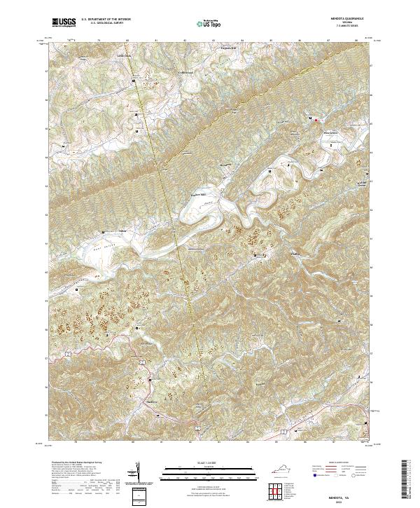 2022 Mendota2022 Print · USGSCovers Russell County, including Mendota, Deans Store, and other nearby areas
 - 2022 Map of Duty, 2022 Print
 2022 Duty2022 Print · USGSCovers Russell County, including Davenport, Duty, and other nearby areas
 - 2022 Map of Big A Mountain, 2022 Print
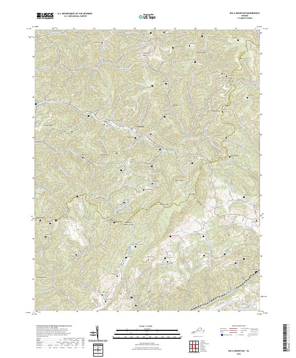 2022 Big A Mountain2022 Print · USGSCovers Russell County, including Flatwoods, Fuller Corner, and other nearby areas
 - 2022 Map of Lebanon, 2022 Print
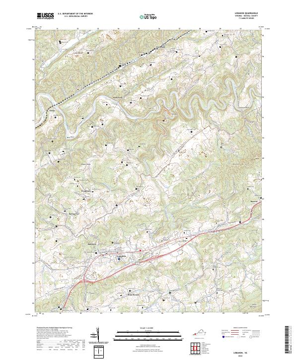 2022 Lebanon2022 Print · USGSCovers Russell County, including Lebanon, Barnett, and other nearby areas
 - 2022 Map of Saint Paul, 2022 Print
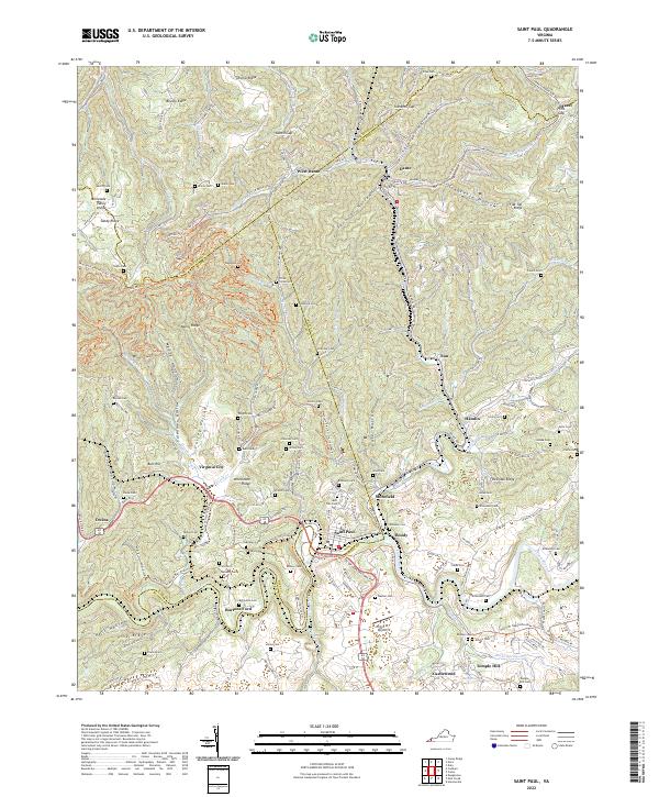 2022 Saint Paul2022 Print · USGSCovers Russell County, including St. Paul, Saint Paul, and other nearby areas
 - 2022 Map of Nora, 2022 Print
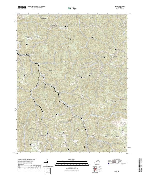 2022 Nora2022 Print · USGSCovers Russell County, including Nealy Ridge, Nora, and other nearby areas
 - 2022 Map of Coeburn, 2022 Print
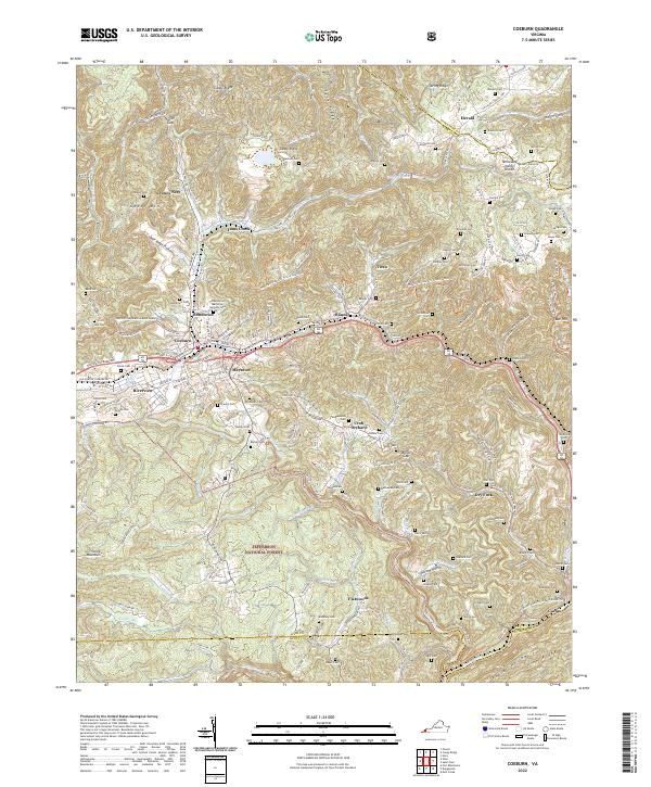 2022 Coeburn2022 Print · USGSCovers Russell County, including Coeburn, Riverview, and other nearby areas
End of results
Showing maps 1-18 of 18
Top cities of Russell County
- Lebanon historical maps
- Castlewood historical maps
- Honaker historical maps
- Dante historical maps
- Cleveland historical maps
Frequently asked questions
- What are the different types of historical maps available for Russell County?
- What is the oldest map of Russell County?
- Where can I purchase historical maps of Russell County for my home or office?
- Where can I download high-res historical maps of Russell County?
- Are there historical topographic maps available for Russell County?
- Is there historical aerial imagery available for Russell County?
- Where are historical maps of Russell County sourced from?