2010s Maps of Russell County, Virginia
Explore 72 historic maps of Russell County from the 2010s. These maps offer a rare glimpse into what life looked like during the 2010s — showing old roads, neighborhoods, homes, and landmarks that have changed or disappeared over time.
Whether you're researching your family's past, planning a metal detecting trip, or studying how Russell County's landscape evolved across the 2010s, these high-resolution maps are a powerful tool for exploring the history of this region.
- Focus on a specific era: All maps on this page are from the 2010s, giving you a focused view of this time period.
- See what’s changed: Compare century-old streets, trails, and buildings to today's modern landscape using overlays and satellite layers.
- Research with precision: Use these maps for genealogy, historical research, land use analysis, or educational projects.
- View, download, or print: Maps are fully viewable online in high resolution, and can be downloaded or printed for your own records.
Start exploring Russell County's history through authentic maps from the 2010s. This is your window into the past.
Russell County, VA maps
(72)- 2010 Map of Mendota, 2010 Print
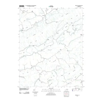 2010 Mendota2010 Print · USGSWestern Washington County appears here in the early twenty-first century, showing the enduring rural character of the valleys flanking Clinch Mountain. Researchers can trace local heritage through dozens of family landmarks like Barker Mill, Deans Store, and the Sutton and Price cemeteries.
 - 2010 Map of Hansonville, 2010 Print
 2010 Hansonville2010 Print · USGSRussell County's ridge-and-valley landscape is captured here in the early twenty-first century, showing the enduring settlement patterns of Southwest Virginia. Researchers can pinpoint family landmarks like Hawkins Mill, Davis Cemetery, and rural locales such as Lick Skillet Hollow or Zenobia.
 - 2010 Map of Moll Creek, 2010 Print
 2010 Moll Creek2010 Print · USGSRussell County's ridges and valleys are shown in the early 21st century, revealing an area dense with local family history and rural settlements. Researchers can trace dozens of family burial sites like Saddler Cemetery or find small hamlets like Point Truth and Mew.
 - 2010 Map of Lebanon, 2010 Print
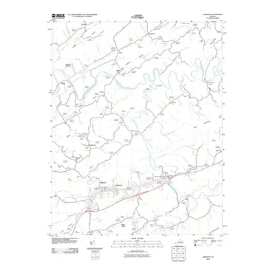 2010 Lebanon2010 Print · USGSRussell County's rolling valley floor and the banks of the Clinch River are recorded here during the early twenty-first century. Genealogists can locate dozens of family-named burial sites and small communities like Slabtown, Stone Bruise, and Nash Ford.
 - 2010 Map of Honaker, 2010 Print
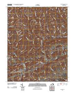 2010 Honaker2010 Print · USGSHonaker and the Clinch River valley are shown in the early twenty-first century as they wind through the ridges of Russell County. Researchers can locate ancestral landmarks like Ball Cemetery, Hickory Junction, and the heights of House And Barn Mountain.
 - 2010 Map of Keen Mountain, 2010 Print
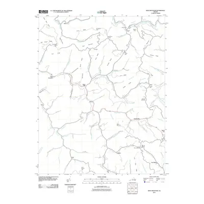 2010 Keen Mountain2010 Print · USGSBuchanan County's deep hollows and steep ridges are captured here during the first decade of the new millennium. Researchers can trace the path of the Levisa Fork to find local landmarks like the Keen Mountain Fire Tower and the mountain settlement of Grimsleyville.
 - 2010 Map of Richlands, 2010 Print
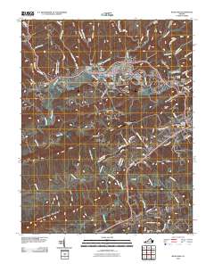 2010 Richlands2010 Print · USGSRichlands and the surrounding Appalachian river valleys are captured here at the start of the 2010s. Researchers can locate family sites and industrial history by tracing the Field-Scott Mines, Clinch Valley Memorial Cemetery, and the residential Dalton Addition.
 - 2011 Map of Hayters Gap, 2011 Print
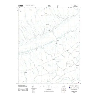 2011 Hayters Gap2011 Print · USGSMidway and Hayters Gap are shown here in the early twenty-first century, a landscape defined by the winding North Fork Holston River and steep ridges. Genealogists and researchers can locate family-named sites like Thompson Cemetery, Giesley Mill, and Whiterock Cove.
 - 2011 Map of Elk Garden, 2011 Print
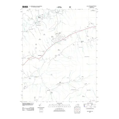 2011 Elk Garden2011 Print · USGSRussell County's ridges and valleys are shown in detail during the early 21st century, centered on the historic mountain communities of the region. Researchers can locate dozens of family burial sites such as Baylor Cemetery and Snead Cemetery, alongside landmarks like Hubbard Hole.
 - 2011 Map of Saltville, 2011 Print
 2011 Saltville2011 Print · USGSSaltville and the Holston River valley are captured in this modern survey of Southwest Virginia’s mountain landscape. Genealogists can trace family landmarks and burial sites like Allison Cemetery, Lick Skillet, and the historic crossroads of Belfast Mills.
 - 2011 Map of Brumley, 2011 Print
 2011 Brumley2011 Print · USGSBrumley Mountain and the North Fork Holston River valley are shown in detail during the early twenty-first century. Genealogists and hikers can trace family sites like Phelps Cemetery or explore the rugged reaches of Hidden Valley Lake and Brumley Gap.
 - 2011 Map of Coeburn, 2011 Print
 2011 Coeburn2011 Print · USGSWise County's high ridges and coal-country hollows are mapped here during the early twenty-first century. Genealogists and researchers can trace dozens of family cemeteries and industrial landmarks, including the Little Tom Tunnel, Toms Creek Dam, and Stallard Cemetery.
 - 2011 Map of Dungannon, 2011 Print
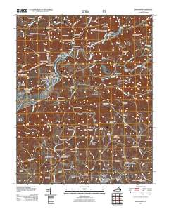 2011 Dungannon2011 Print · USGSScott County’s river-carved landscape is documented here in the early twenty-first century, centered on the Clinch River corridor. Genealogists can trace deep local roots through family sites like the Osborne-Taylor Cemetery and settlements like Nickelsville and Dungannon.
 - 2011 Map of Carbo, 2011 Print
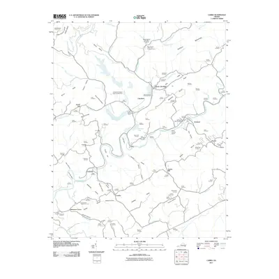 2011 Carbo2011 Print · USGSThe Clinch River valley near Cleveland reveals a landscape of industrial coal operations and historic family settlements. Genealogists and historians can trace numerous remote burial grounds like Gose Cemetery and landmarks such as Jesses Mill.
 - 2011 Map of Saint Paul, 2011 Print
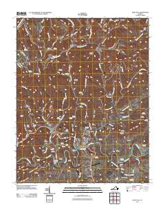 2011 Saint Paul2011 Print · USGSSouthwest Virginia's rugged river country comes into focus in this recent survey of the Clinch River valley and its surrounding ridges. Researchers can trace historic family burial sites like McCoy Cemetery or explore the rail-and-river geography of Saint Paul and the milling site at Bickley Mill.
 - 2011 Map of Big A Mountain, 2011 Print
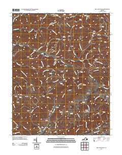 2011 Big A Mountain2011 Print · USGSIn the early twenty-first century, this Russell County landscape remains defined by the winding hollows of Council and Venia. Genealogists can trace family lines across dozens of remote burial sites, including Baldwin Cemetery, Lockhart Cemetery, and Crabtree Cemetery.
 - 2011 Map of Nora, 2011 Print
 2011 Nora2011 Print · USGSNear the turn of the decade, the ridges of Dickenson County remained a world of deep hollows and family-named landmarks. Genealogists and historians can trace lineage through dozens of hillside sites like Rasnake Cemetery or locate the portals of the Buffalo Tunnel.
 - 2011 Map of Duty, 2011 Print
 2011 Duty2011 Print · USGSSouthwest Virginia's rugged coal country is captured here in the early twenty-first century, showing a landscape defined by deep hollows and high ridges. Genealogists and local historians can trace dozens of family burial sites like Rasnake Cemetery and Gilbert Cemetery, alongside the engineering of the Sandy Ridge Tunnel.
 - 2013 Map of Dungannon, 2013 Print
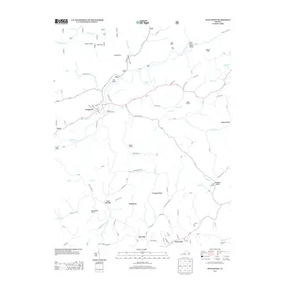 2013 Dungannon2013 Print · USGSDungannon and Nickelsville appear in this modern survey of the Clinch River valley, showcasing a landscape of isolated hollows and riverside rail yards. Genealogists can trace family landmarks and rural communities like Twin Springs, Bush Mill, and Grigsby Store.
 - 2013 Map of Coeburn, 2013 Print
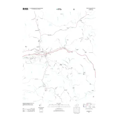 2013 Coeburn2013 Print · USGSCoeburn and the surrounding coalfields of Wise County are shown here in the early twenty-first century as the rail and ridge-line communities continue to evolve. Genealogists can trace family footprints in Maytown, Herald, and Crab Orchard or locate the historic Little Tom Tunnel.
 - 2013 Map of Moll Creek, 2013 Print
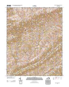 2013 Moll Creek2013 Print · USGSSouthwest Virginia's ridge-and-valley landscape is documented here in the early twenty-first century, showing the enduring rural character of Russell County. Trace family roots and local geography through settlements like Point Truth, Mew, and the waters of Copper Creek.
 - 2013 Map of Saint Paul, 2013 Print
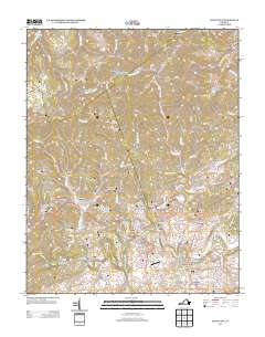 2013 Saint Paul2013 Print · USGSThe Clinch River valley and its surrounding coal-country ridges come into focus in this early twenty-first-century survey. You can trace the path of the CSX RR through several major tunnels and locate historic landmarks like Bickley Mill, Saint Paul, and Dante.
 - 2013 Map of Hansonville, 2013 Print
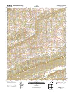 2013 Hansonville2013 Print · USGSSouthwestern Virginia's ridge-and-valley landscape is documented here in the early twenty-first century. Researchers can trace rural settlement patterns and local landmarks from Hawkins Mill and Dickensonville to the river crossing at McFadden Ford.
 - 2013 Map of Lebanon, 2013 Print
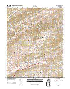 2013 Lebanon2013 Print · USGSSouthwestern Virginia in the early twenty-first century reveals a landscape where crossroads like Lebanon and Slabtown are shaped by the winding Clinch River. Researchers can locate family-named landmarks and hollows, from Combs Valley and Nash Ford to the specific site of Pucketts Hole.
 - 2013 Map of Brumley, 2013 Print
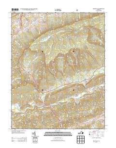 2013 Brumley2013 Print · USGSThe North Fork Holston River corridor in Washington County is captured here in the early twenty-first century. Researchers can trace family names through landmarks like the Colonel Thomas McCulloch Memorial Bridge, Scott Ford, and Mongle Spring.
Showing maps 1-25 of 72
Top cities of Russell County
- Lebanon historical maps
- Castlewood historical maps
- Honaker historical maps
- Dante historical maps
- Cleveland historical maps
Frequently asked questions
- What are the different types of historical maps available for Russell County?
- What is the oldest map of Russell County?
- Where can I purchase historical maps of Russell County for my home or office?
- Where can I download high-res historical maps of Russell County?
- Are there historical topographic maps available for Russell County?
- Is there historical aerial imagery available for Russell County?
- Where are historical maps of Russell County sourced from?