2010s Maps of Suffolk, Virginia
Explore 64 historic maps of Suffolk from the 2010s. These maps offer a rare glimpse into what life looked like during the 2010s — showing old roads, neighborhoods, homes, and landmarks that have changed or disappeared over time.
Whether you're researching your family's past, planning a metal detecting trip, or studying how Suffolk's landscape evolved across the 2010s, these high-resolution maps are a powerful tool for exploring the history of this region.
- Focus on a specific era: All maps on this page are from the 2010s, giving you a focused view of this time period.
- See what’s changed: Compare century-old streets, trails, and buildings to today's modern landscape using overlays and satellite layers.
- Research with precision: Use these maps for genealogy, historical research, land use analysis, or educational projects.
- View, download, or print: Maps are fully viewable online in high resolution, and can be downloaded or printed for your own records.
Start exploring Suffolk's history through authentic maps from the 2010s. This is your window into the past.
Suffolk, VA maps
(64)- 2010 Map of Zuni, 2010 Print
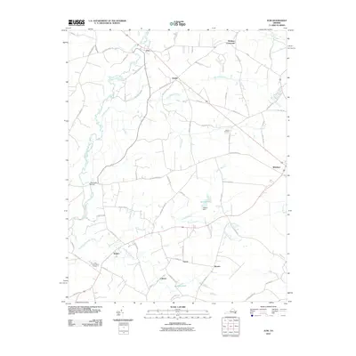 2010 Zuni2010 Print · USGSThis part of the Virginia coastal plain is shown at the start of the 2000s, centered on the wetlands of the Blackwater River. Researchers can trace old community lines and landmarks like Antioch Cemetery, State Prison Camp Number 3, and the settlement of Zuni.
 - 2010 Map of Gates, 2010 Print
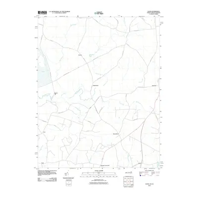 2010 Gates2010 Print · USGSThe North Carolina-Virginia borderlands appear here in the early 2000s, characterized by rural settlements and sprawling swamplands. Researchers can trace the layout of community hubs like Reynoldson, Pittmantown, and Cleopus along the winding banks of Somerton Creek.
 - 2010 Map of Holland, 2010 Print
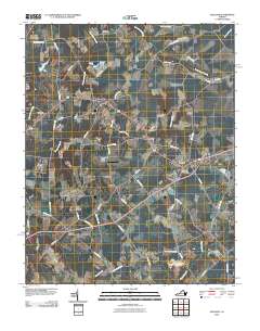 2010 Holland2010 Print · USGSCoastal Virginia’s rural crossroads and low-lying wetlands are captured here at the start of the 2010s. Researchers can locate the Beaver Dam Cemetery and trace historical routes through Holland, Carrsville, and the Brandywyne Farms Airport.
 - 2010 Map of Riverdale, 2010 Print
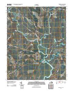 2010 Riverdale2010 Print · USGSThe Virginia and North Carolina borderlands come alive in this map of the river-heavy terrain around the Chowan and Nottoway rivers. Genealogists and historians can trace numerous riverfront landmarks and small settlements like Riddicksville, Cobbs Wharf, and Wyanoke.
 - 2010 Map of Suffolk, 2010 Print
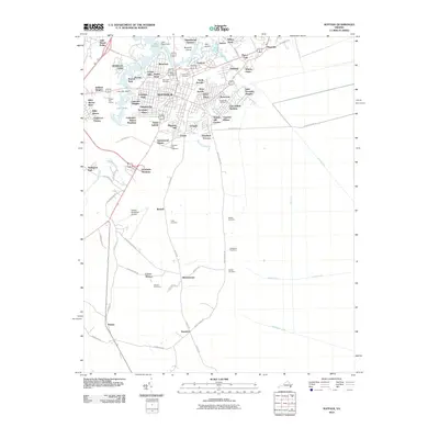 2010 Suffolk2010 Print · USGSCoastal Virginia's urban and rural landscape is captured here during a period of sustained growth for Suffolk. Researchers can trace the layout of family cemeteries like Whitehead Cemetery or study the extensive water management network of the Jericho Ditch.
 - 2010 Map of Chuckatuck, 2010 Print
 2010 Chuckatuck2010 Print · USGSThe Nansemond River waterfront and its surrounding settlements are documented here in the early twenty-first century. Local historians can trace established communities like Chuckatuck and Driver alongside family burial grounds such as Canaan Cemetery and Sleepy Hole Cemetery.
 - 2010 Map of Franklin, 2010 Print
 2010 Franklin2010 Print · USGSFranklin and the surrounding Tidewater area are shown in detail during the early twenty-first century as the city expanded northward toward Hunterdale. Genealogists and local historians can trace family-named sites and landmarks like Lees Mill, Watkins Corner, and Poplar Springs Cemetery.
 - 2010 Map of Whaleyville, 2010 Print
 2010 Whaleyville2010 Print · USGSThe borderlands of Virginia and North Carolina are captured here in the early twenty-first century as a landscape of interconnected swamplands and rural hamlets. Local historians can trace the geography of communities like Whaleyville, Somerton, and Wiggins Crossroads, or locate specific landmarks like the Whaleyville Post Office and Harrell Siding.
 - 2010 Map of Benns Church, 2010 Print
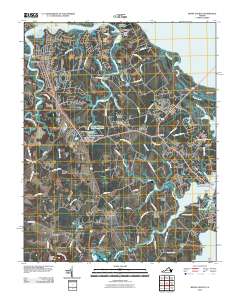 2010 Benns Church2010 Print · USGSCoastal Virginia's Tidewater region comes alive in the late 2000s, where the Pagan River and James River shape a landscape of creeks and marshy points. Genealogists and local historians can locate established landmarks like Benns Church, Battery Park Cemetery, and the Rescue Yacht Basin.
 - 2011 Map of Corapeake, 2011 Print
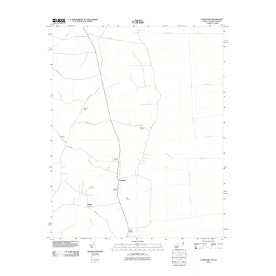 2011 Corapeake2011 Print · USGSCorapeake and the surrounding Gates County countryside appear in this modern survey of the North Carolina borderlands. Researchers can locate several family burial grounds like Jones Cemetery and Riddick Cemetery among the many canals and ditches.
 - 2011 Map of Lake Drummond, 2011 Print
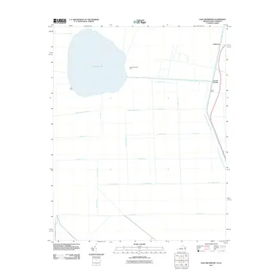 2011 Lake Drummond2011 Print · USGSThe Great Dismal Swamp at the start of the 2010s reveals a complex landscape of historic water management and secluded landings. Researchers can trace the geometric grid of old drainage routes like Riddick Ditch and Kim Saunders Ditch or locate outposts such as Arbuckle Landing and Jacks Camp.
 - 2011 Map of Newport News South, 2011 Print
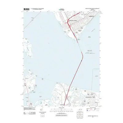 2011 Newport News South2011 Print · USGSCoastal Virginia at the turn of the decade reveals a landscape defined by maritime industry and riverfront growth. Trace family history and harbor activity through Greenlawn Cemetery, the Crittenden Post Office, and the iconic Newport News Middle Ground Light.
 - 2011 Map of Lake Drummond NW, 2011 Print
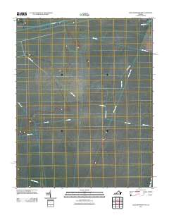 2011 Lake Drummond NW2011 Print · USGSThe Great Dismal Swamp area in 2011 is shown through its complex system of historic drainage channels and waterways. Researchers can trace the geometric patterns of the Washington Ditch, Jericho Ditch, and the long-established Dismal Swamp Canal.
 - 2011 Map of Windsor, 2011 Print
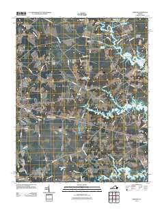 2011 Windsor2011 Print · USGSCoastal plain life in the Windsor area is captured here during the early 21st century. Genealogists and local historians can trace legacy landmarks including Providence Church, the Tyler Cemetery, and the old milling waters of Murphys Millpond.
 - 2011 Map of Bowers Hill, 2011 Print
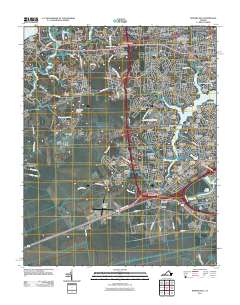 2011 Bowers Hill2011 Print · USGSThe Western Branch of the Elizabeth River meets suburban growth in this early 21st-century portrait of Chesapeake and Portsmouth. Researchers can trace the evolution of old crossroads like Boone and Pughsville or locate Triangle Cemetery and the Hodges Ferry Bridge.
 - 2011 Map of Buckhorn, 2011 Print
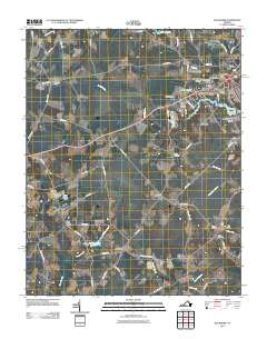 2011 Buckhorn2011 Print · USGSCoastal Virginia in the early twenty-first century reveals a landscape where old crossroads like Bakers Crossing meet modern residential growth. Genealogists and researchers can locate specific burial grounds including Rawles Cemetery and Barrett Cemetery while tracing the waters of Speights Run.
 - 2013 Map of Gates, 2013 Print
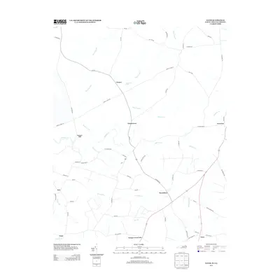 2013 Gates2013 Print · USGSCoastal plain settlements and expansive swamp networks define this borderland region between North Carolina and Virginia in the early twenty-first century. Genealogists can trace family-named locales and crossroads such as Reynoldson, Pittmantown, and Savages Crossroads near the waters of Chapel Swamp.
 - 2013 Map of Corapeake, 2013 Print
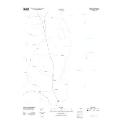 2013 Corapeake2013 Print · USGSCoastal plain settlements near the North Carolina and Virginia border are shown here in the early twenty-first century. Researchers can trace the drainage of Dragon Swamp and locate rural communities like Corapeake, Ure Island, and Parkers Fork.
 - 2013 Map of Lake Drummond NW, 2013 Print
 2013 Lake Drummond NW2013 Print · USGSThe Great Dismal Swamp interior near Suffolk is captured here in the early 2010s, showing a landscape shaped by vast drainage networks. Trace the engineered paths of Washington Ditch and Hudnell Ditch or locate the landing at Douglas Landing.
 - 2013 Map of Holland, 2013 Print
 2013 Holland2013 Print · USGSSoutheastern Virginia at the start of the 2010s remains a landscape of deep swamps and rural crossroads. Genealogists and historians can trace the connectors between small settlements like Holland, Carrsville, and family landmarks such as Beales Corner.
 - 2013 Map of Whaleyville, 2013 Print
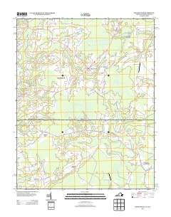 2013 Whaleyville2013 Print · USGSCoastal plain settlements and crossing wetlands define this border region in the early twenty-first century. Genealogists can trace rural family roots through historic junctions like Wiggins Crossroads, Drum Hill, and the rail-linked Harrell Siding.
 - 2013 Map of Suffolk, 2013 Print
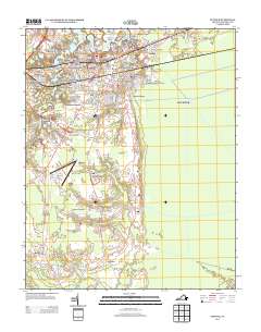 2013 Suffolk2013 Print · USGSCoastal Virginia city life meets an intricate network of historical drainage canals in this early 21st-century record. Researchers can trace established neighborhoods like Philadelphia and Pleasant Hill or locate the Suffolk Executive Airport and Jericho Ditch.
 - 2013 Map of Riverdale, 2013 Print
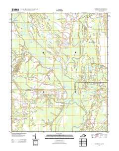 2013 Riverdale2013 Print · USGSCoastal river valleys along the North Carolina border define this landscape in the early twenty-first century. Researchers can trace historical river commerce through old sites like Riddicksville, Cobbs Wharf, and Riddicks Landing along the Nottoway River.
 - 2013 Map of Zuni, 2013 Print
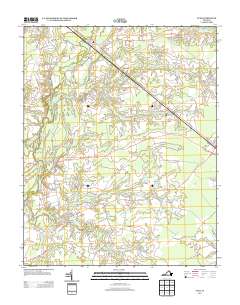 2013 Zuni2013 Print · USGSCoastal Virginia's swampy lowlands and historic river crossings are captured here in the early twenty-first century. Genealogists and local historians can locate the State Prison Camp Number 3 and rural communities like Whitleys Crossroads, Collosse, and Walters.
 - 2013 Map of Chuckatuck, 2013 Print
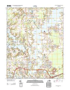 2013 Chuckatuck2013 Print · USGSCoastal Virginia life unfolds along the Nansemond River in the early twenty-first century, showing the evolution of traditional landings and new suburban tracts. Researchers can trace family-named points and historic crossings like Reids Ferry, Kingsdale, and Mintonville Point.
Showing maps 1-25 of 64
Top cities of Suffolk
Frequently asked questions
- What are the different types of historical maps available for Suffolk?
- What is the oldest map of Suffolk?
- Where can I purchase historical maps of Suffolk for my home or office?
- Where can I download high-res historical maps of Suffolk?
- Are there historical topographic maps available for Suffolk?
- Is there historical aerial imagery available for Suffolk?
- Where are historical maps of Suffolk sourced from?