2000s (21st Century) Maps of Sussex County, Virginia
Explore 90 historic maps of Sussex County from the 2000s (21st Century). These maps offer a rare glimpse into what life looked like during the 2000s — showing old roads, neighborhoods, homes, and landmarks that have changed or disappeared over time.
Whether you're researching your family's past, planning a metal detecting trip, or studying how Sussex County's landscape evolved across the 2000s, these high-resolution maps are a powerful tool for exploring the history of this region.
- Focus on a specific era: All maps on this page are from the 2000s, giving you a focused view of this time period.
- See what’s changed: Compare century-old streets, trails, and buildings to today's modern landscape using overlays and satellite layers.
- Research with precision: Use these maps for genealogy, historical research, land use analysis, or educational projects.
- View, download, or print: Maps are fully viewable online in high resolution, and can be downloaded or printed for your own records.
Start exploring Sussex County's history through authentic maps from the 2000s. This is your window into the past.
Sussex County, VA maps
(90)- 2010 Map of Ivor, 2010 Print
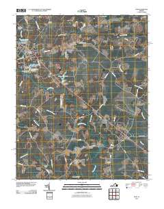 2010 Ivor2010 Print · USGSCoastal plain settlements and low-lying swamps define this Sussex County landscape in the early twenty-first century. Genealogists can locate family-named landmarks and burial sites such as Spratley Cemetery, Stephenson Cemetery, and the historic Freemans Millpond.
 - 2010 Map of Purdy, 2010 Print
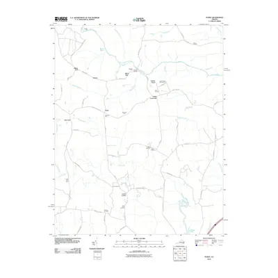 2010 Purdy2010 Print · USGSGreensville County at the dawn of the 2010s retains its deep agricultural and community roots. Researchers can trace family sites from Cowie Corner to Purdy, including historic burial grounds like Trisvan Cemetery and the Jackson-Field Episcopal Home.
 - 2010 Map of Yale, 2010 Print
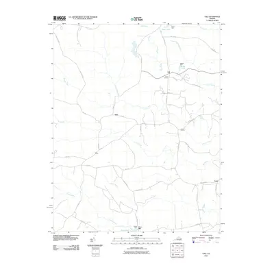 2010 Yale2010 Print · USGSSouthampton County during the early 2010s maintained its rural character across a landscape of swamps and crossroads settlements. Genealogists can locate Rivers Mill and family burial sites like Calvary Cemetery and Antioch Cemetery.
 - 2010 Map of Waverly, 2010 Print
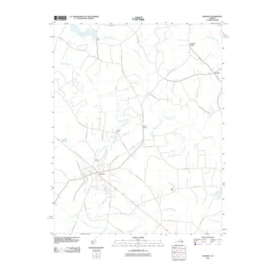 2010 Waverly2010 Print · USGSWaverly and its surrounding Sussex County wetlands are captured here in the early twenty-first century. Researchers can trace local lineage through the Waverly Cemetery and explore the rural road network connecting Gwaltney Corner, Blunts Bridge, and Carsley.
 - 2010 Map of Littleton, 2010 Print
 2010 Littleton2010 Print · USGSSussex County, Virginia, maintains its rural character in this recent survey of the Nottoway River lowlands. Genealogists and local historians can trace family locations near Homeville and Littleton, or locate burial sites at Oakland Cemetery and Easter Cemetery.
 - 2010 Map of Carson, 2010 Print
 2010 Carson2010 Print · USGSDinwiddie County’s rural crossroads and winding swamp-fed creeks appear in high detail during the early twenty-first century. Researchers can trace family history through several burial grounds, including the Confederate Cemetery, Rowanta Cemetery, and landmarks like the Carson Post Office.
 - 2010 Map of Stony Creek, 2010 Print
 2010 Stony Creek2010 Print · USGSCoastal Virginia's rural landscape is captured here in the early twenty-first century as the modern interstate corridor intersects with older creek-side settlements. Genealogists and historians can trace family landmarks like Peagram Cemetery, Winfields Mill, and the riverside site of Fort Nottoway.
 - 2010 Map of Sebrell, 2010 Print
 2010 Sebrell2010 Print · USGSSouthampton County, Virginia, maintains its quiet agricultural character in the early twenty-first century as the Nottoway River winds through the coastal plain. Genealogists can locate family landmarks such as Hickory Hill Cemetery and trace crossings like Careys Bridge.
 - 2010 Map of Adams Grove, 2010 Print
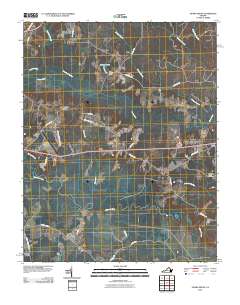 2010 Adams Grove2010 Print · USGSSouthampton County’s rural wetlands and small settlements are preserved here in the early twenty-first century. Researchers can trace family-named sites like Green Plain and Grizzard, or locate historic burials at the Pleasant Grove Cemetery near Adams Grove.
 - 2010 Map of Drewryville, 2010 Print
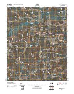 2010 Drewryville2010 Print · USGSCoastal plain settlements in Southampton County are shown here at the turn of the millennium, characterized by a complex network of wetlands and rural homesteads. Genealogists and historians can trace local landmarks like Pleasant Plain Memorial Cemetery and the winding course of Three Creek and the Meherrin River.
 - 2010 Map of Vicksville, 2010 Print
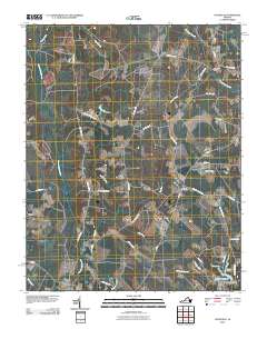 2010 Vicksville2010 Print · USGSSouthampton County at the start of the 21st century remains a landscape of deep swamps and rural crossroads. Local historians can trace family-named sites like Darden Millpond and Darden Camp or old routes through Vicksville and Dory.
 - 2010 Map of Manry, 2010 Print
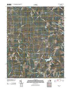 2010 Manry2010 Print · USGSCoastal plain wetlands and rural settlements define this part of Virginia in the early twenty-first century. Genealogists and local historians can trace family-named landmarks and community sites like Elam Cemetery, Cashs Corner, and Airfield Pond.
 - 2010 Map of Cherry Hill, 2010 Print
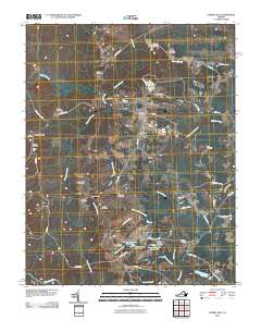 2010 Cherry Hill2010 Print · USGSMount Olivet and the surrounding Dinwiddie County countryside are documented here in the early twenty-first century. Researchers can trace numerous family burial sites such as Galusha Cemetery and Abernathy Cemetery, or locate historic local hubs like Bolsters Store.
 - 2010 Map of Templeton, 2010 Print
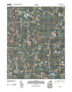 2010 Templeton2010 Print · USGSCoastal Virginia at the start of the 2010s shows a landscape deeply defined by its millponds and drainage networks. Researchers can trace historic family landmarks and community sites like Lees Mill, Belsches Millpond, and Loving Union Cemetery.
 - 2011 Map of Disputanta South, 2011 Print
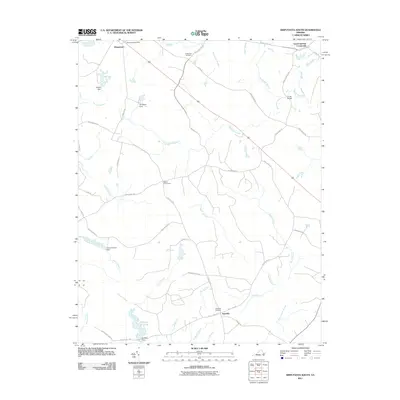 2011 Disputanta South2011 Print · USGSCoastal plain wetlands and rural Virginia crossroads come into focus during this early twenty-first century survey. Researchers can trace the legacy of local water power and transit at Nebletts Millpond, Cooks Bridge, and the Disputanta Post Office.
 - 2011 Map of Dendron, 2011 Print
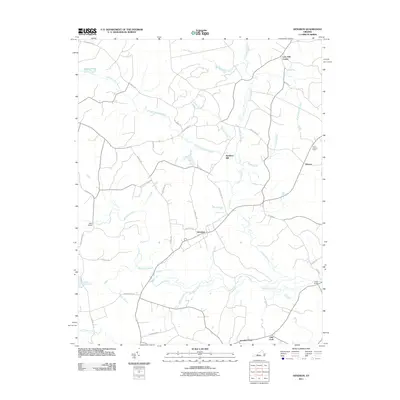 2011 Dendron2011 Print · USGSSurry County's coastal wetlands and timber lands are well-documented in this early twenty-first-century survey. Researchers can trace rural lineages through settlements like Dendron and Elberon, or locate landmarks such as Spratleys Mill and Walls Bridge.
 - 2011 Map of Jarratt, 2011 Print
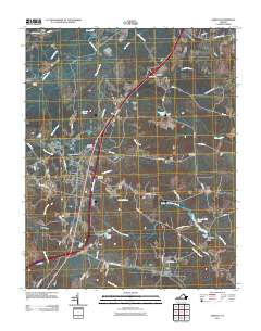 2011 Jarratt2011 Print · USGSThe Jarratt region of Southside Virginia is captured here in the early twenty-first century, showing the intersection of modern infrastructure and traditional rural industry. Researchers can trace local heritage through sites like Harrells Mill, High Hills Cemetery, and the historic Nottoway River crossings.
 - 2011 Map of Sussex, 2011 Print
 2011 Sussex2011 Print · USGSSussex County, Virginia, at the start of the 2010s reveals a terrain of ancient swamps and quiet rural crossroads. Researchers can trace family history through sites like Hunting Quarter Cemetery and locate former industrial hubs at Howells Mill and Hargraves Millpond.
 - 2013 Map of Vicksville, 2013 Print
 2013 Vicksville2013 Print · USGSSouthampton County’s rural crossroads and expansive wetlands are preserved in this study of the early twenty-first century landscape. Genealogists and local historians can trace family-named landmarks like Colgate Darden Millpond and settlements such as Vicksville and Beales.
 - 2013 Map of Purdy, 2013 Print
 2013 Purdy2013 Print · USGSGreensville County’s rural interior is documented here in the early 2000s, centered on the riverine landscape of the Nottoway River. Researchers can locate legacy family properties like Orion Vue Farm, the Jackson-Field Episcopal Home, and historic crossroads at Purdy and Cowie Corner.
 - 2013 Map of Sussex, 2013 Print
 2013 Sussex2013 Print · USGSCoastal plain wetlands and rural Virginia crossroads are documented here in the early twenty-first century. Genealogists and historians can trace the vicinity of Howells Mill, find the location of Comans Well, and follow the path of Railroad Bed Rd.
 - 2013 Map of Jarratt, 2013 Print
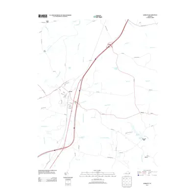 2013 Jarratt2013 Print · USGSCoastal plain wetlands and small crossroads communities define this portion of Southside Virginia in the early twenty-first century. Genealogists and local historians can trace the geography around Jarratt, Henry, and the historic site of Harrells Mill.
 - 2013 Map of Littleton, 2013 Print
 2013 Littleton2013 Print · USGSSussex County’s rural crossroads and river bottomlands are captured here in the early twenty-first century. Genealogists and local historians can trace family-named roads and landmarks around Homeville, Lumberton, and the winding Nottoway River.
 - 2013 Map of Sebrell, 2013 Print
 2013 Sebrell2013 Print · USGSSebrell and the surrounding Southampton County wetlands are captured here in the early twenty-first century as the landscape remains defined by its watercourses. Researchers can trace historical crossings at Peters Bridge and Crichton Bridge or locate family lands near Hunting Quarter Swamp and Buckhorn Swamp.
 - 2013 Map of Yale, 2013 Print
 2013 Yale2013 Print · USGSCoastal Virginia's rural Southampton County is documented here in the early twenty-first century, showing a landscape shaped by swampy bottomlands and small hamlets. Genealogists and historians can trace old homesteads and routes near Yale, Rivers Mill, and Joyner.
Showing maps 1-25 of 90
Top cities of Sussex County
Frequently asked questions
- What are the different types of historical maps available for Sussex County?
- What is the oldest map of Sussex County?
- Where can I purchase historical maps of Sussex County for my home or office?
- Where can I download high-res historical maps of Sussex County?
- Are there historical topographic maps available for Sussex County?
- Is there historical aerial imagery available for Sussex County?
- Where are historical maps of Sussex County sourced from?