2020s Maps of Wythe County, Virginia
Explore 17 historic maps of Wythe County from the 2020s. These maps offer a rare glimpse into what life looked like during the 2020s — showing old roads, neighborhoods, homes, and landmarks that have changed or disappeared over time.
Whether you're researching your family's past, planning a metal detecting trip, or studying how Wythe County's landscape evolved across the 2020s, these high-resolution maps are a powerful tool for exploring the history of this region.
- Focus on a specific era: All maps on this page are from the 2020s, giving you a focused view of this time period.
- See what’s changed: Compare century-old streets, trails, and buildings to today's modern landscape using overlays and satellite layers.
- Research with precision: Use these maps for genealogy, historical research, land use analysis, or educational projects.
- View, download, or print: Maps are fully viewable online in high resolution, and can be downloaded or printed for your own records.
Start exploring Wythe County's history through authentic maps from the 2020s. This is your window into the past.
Wythe County, VA maps
(17)- 2022 Map of Long Spur, 2022 Print
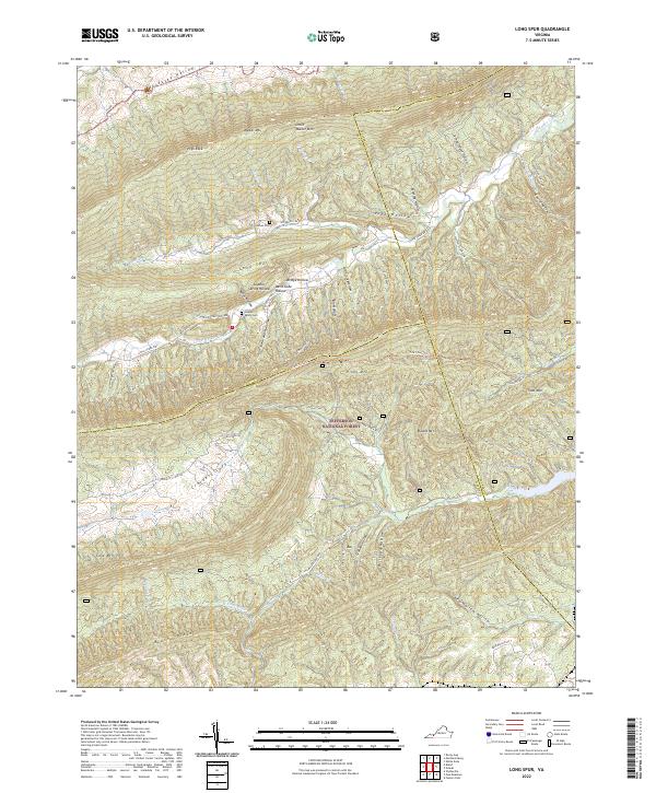 2022 Long Spur2022 Print · USGSThe Wythe and Bland county borders meet in these Appalachian ridges during the early 2020s. Genealogists and hikers can trace remote landmarks like Goshen Cem, Hidden Valley Cem, and the winding Tract-Fork Trail through the forest.
 - 2022 Map of Big Bend, 2022 Print
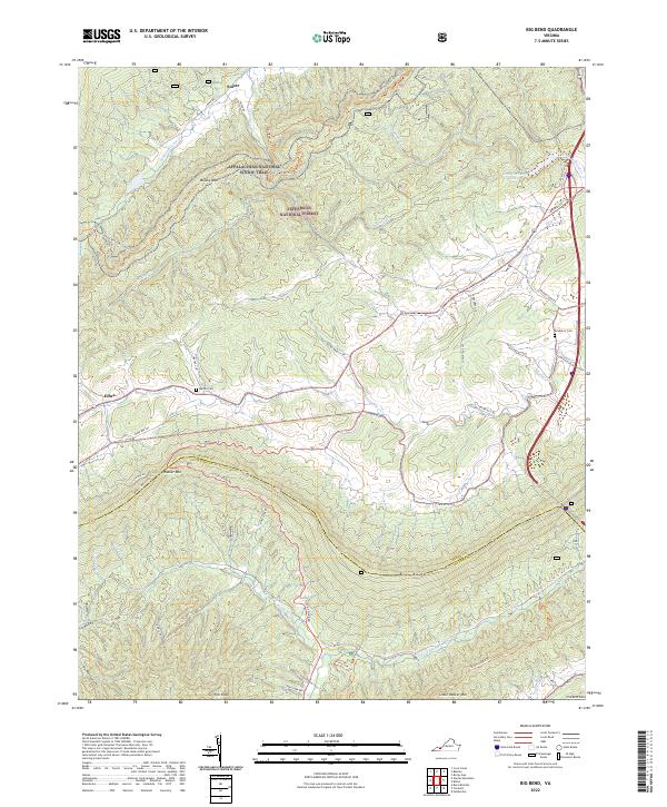 2022 Big Bend2022 Print · USGSHigh ridges in the Virginia mountains define this landscape at the intersection of Bland and Wythe counties. Trace local family history at Bethel Cem or follow the historic path of the Appalachian National Scenic Trail across Brushy Mtn.
 - 2022 Map of Bland, 2022 Print
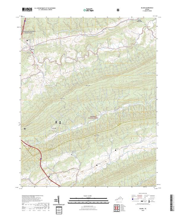 2022 Bland2022 Print · USGSBland and the surrounding Appalachian ridges are shown in high detail during the early twenty-first century. Genealogists and hikers can trace the Appalachian National Scenic Trail and locate family burial sites like Temple Hill Cem and Crockett Cem.
 - 2022 Map of Garden Mountain, 2022 Print
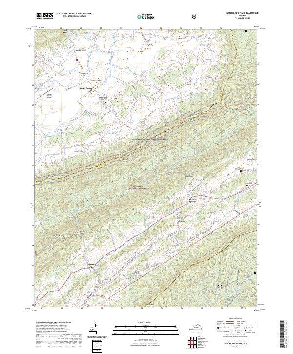 2022 Garden Mountain2022 Print · USGSBland County's high mountain valleys and the unique geologic bowl of Burkes Garden are preserved in this modern topographic study. Researchers can trace historic family burial grounds like Red Oak Cem and Hounshell Cem alongside the path of the Appalachian National Scenic Trl.
 - 2022 Map of Speedwell, 2022 Print
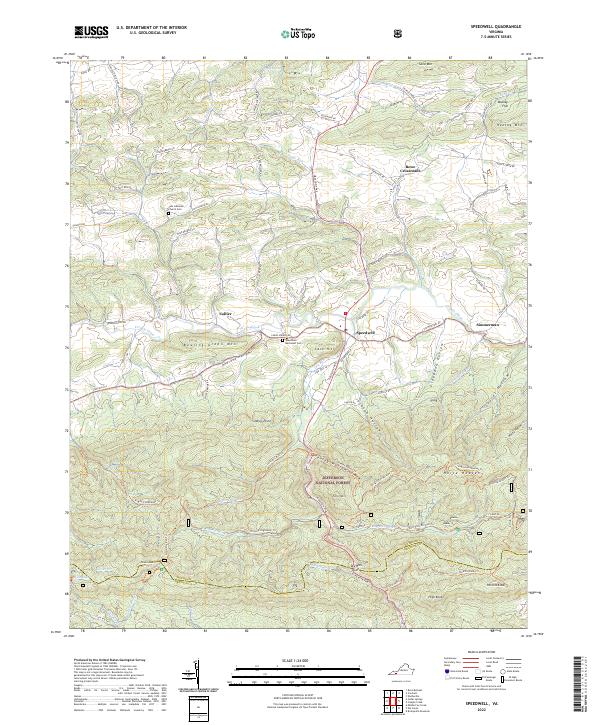 2022 Speedwell2022 Print · USGSThe rural valleys and mountain ridges of Wythe County are documented here as they appeared in 2022. Researchers can locate long-standing landmarks such as Speedwell, the Zion Lutheran Church Cem, and the high reaches of Horse Heaven.
 - 2022 Map of Rural Retreat, 2022 Print
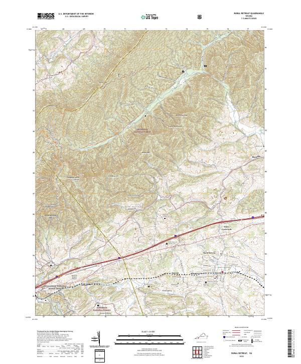 2022 Rural Retreat2022 Print · USGSRural Retreat and the Wythe County highlands are shown here in the early twenty-first century, centered on the strategic rail and road pass through the mountains. Researchers can trace family history at Sunset Memorial Gardens Cem or locate the rural hubs of Groseclose and Staley Crossroads along the Norfolk Southern tracks.
 - 2022 Map of Cripple Creek, 2022 Print
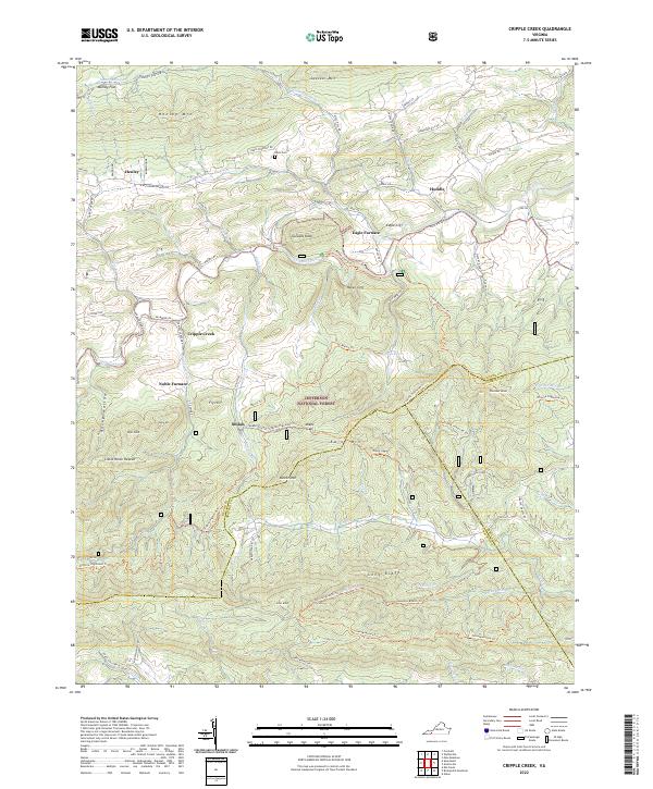 2022 Cripple Creek2022 Print · USGSThe iron-rich valleys of Southwest Virginia come alive in this survey of the borders where Wythe, Carroll, and Grayson counties converge. Researchers can trace industrial history at Eagle Furnace and Noble Furnace or locate family sites near Davis Cem and Shiloh.
 - 2022 Map of Cedar Springs, 2022 Print
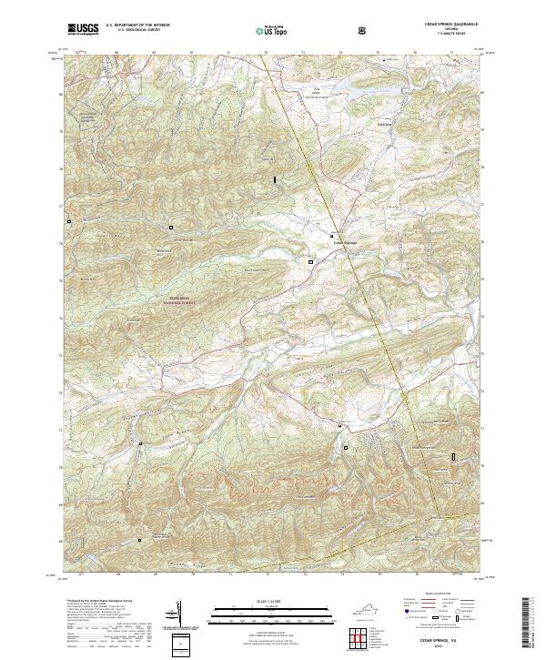 2022 Cedar Springs2022 Print · USGSSmyth and Wythe counties meet here in the 2020s, showing a landscape defined by mountain ridges and the Appalachian Trail. Researchers can find family burial sites like Keesling Cemetery and landmarks such as Rural Retreat Lake.
 - 2022 Map of Wytheville, 2022 Print
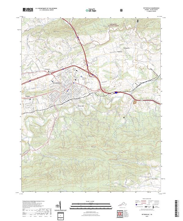 2022 Wytheville2022 Print · USGSWytheville and its surrounding ridges appear in this recent survey, capturing the modern layout of this historic Virginia crossroads. Genealogists and researchers can trace local landmarks like East End Cem, the Stones Mill settlement, and the Norfolk Southern rail line.
 - 2022 Map of Crockett, 2022 Print
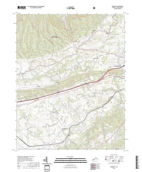 2022 Crockett2022 Print · USGSThe rural valleys and mountain ridges of Wythe County are captured here in a modern era of forest conservation and interstate transit. Researchers can trace family-named roads and old crossroads settlements such as Groseclose, Blessing, and the Earhart Cem.
 - 2022 Map of Nebo, 2022 Print
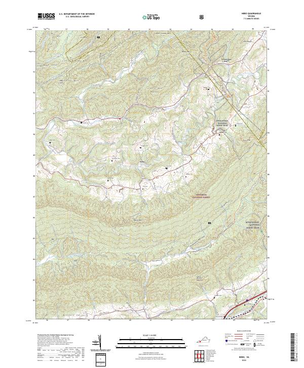 2022 Nebo2022 Print · USGSSmyth County's valley corridors are captured here in the 2020s, showing the rural community of Nebo and the high ridges of the Jefferson National Forest. Researchers can locate dozens of family burial sites like Tilson Cem and Snavely Cem along the Appalachian National Scenic Trl.
 - 2022 Map of Pulaski, 2022 Print
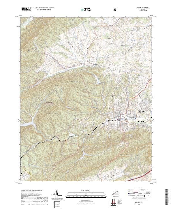 2022 Pulaski2022 Print · USGSPulaski and the surrounding Blue Ridge foothills are shown here in the 2020s, revealing the town's interface with the Jefferson National Forest. Genealogists and researchers can locate the Pulaski County Courthouse and local burial grounds like Pinehurst Cem or the Mt Olivet Ch.
 - 2022 Map of Austinville, 2022 Print
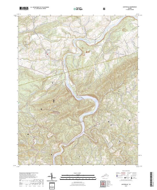 2022 Austinville2022 Print · USGSThe New River and Cripple Creek converge at the Wythe and Carroll County border in this contemporary study of Virginia's Blue Ridge highlands. Genealogists can locate numerous family-named burial grounds like Burnett - Hanks Cem, Frazier Cem, and the Independent Order of Odd Fellows Cem.
 - 2022 Map of Fosters Falls, 2022 Print
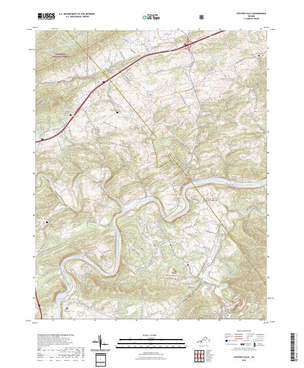 2022 Fosters Falls2022 Print · USGSThe New River valley in southwest Virginia reveals a landscape of deep river bends and historical rural settlements. Trace family heritage and industrial remnants at Foster Falls, the New River Trail, and several family cemeteries including Johnson Cem.
 - 2022 Map of Sylvatus, 2022 Print
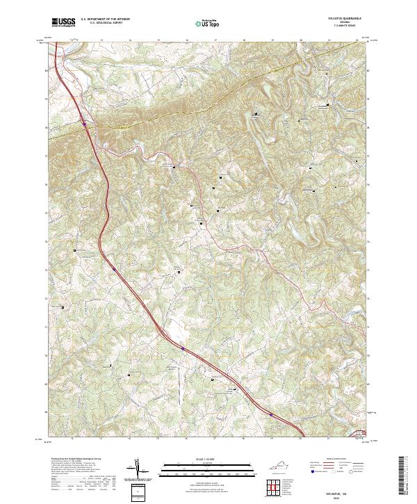 2022 Sylvatus2022 Print · USGSThis survey of the Wythe and Carroll County border area captures the rural character of southwest Virginia during the early 2020s. Genealogists can trace family heritage through numerous sites like Chitwood Cem, Shiloh United Methodist Church, and the Twin County Airport.
 - 2022 Map of Hiwassee, 2022 Print
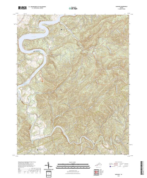 2022 Hiwassee2022 Print · USGSThe New River valley and the waters of Claytor Lake define this Virginia landscape at the start of the 2020s. Genealogists can locate several family burial sites like Hurst Cem and Jimmy Marshall Cem tucked among the ridges.
 - 2022 Map of Max Meadows, 2022 Print
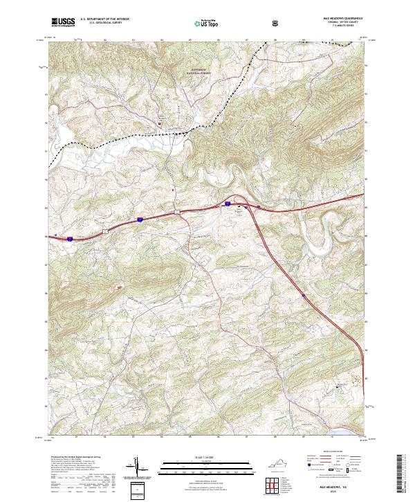 2022 Max Meadows2022 Print · USGSWythe County, Virginia, is shown here in the early twenty-first century, featuring a landscape shaped by the ridges of Lick Mountain and the waters of Reed Creek. Genealogists can locate family landmarks such as the Jacob McGavock Cem and Sanders Cem.
End of results
Showing maps 1-17 of 17
Top cities of Wythe County
- Wytheville historical maps
- Rural Retreat historical maps
- Fort Chiswell historical maps
- Max Meadows historical maps
- Ivanhoe historical maps
- Austinville historical maps
Frequently asked questions
- What are the different types of historical maps available for Wythe County?
- What is the oldest map of Wythe County?
- Where can I purchase historical maps of Wythe County for my home or office?
- Where can I download high-res historical maps of Wythe County?
- Are there historical topographic maps available for Wythe County?
- Is there historical aerial imagery available for Wythe County?
- Where are historical maps of Wythe County sourced from?