Old Maps of Wenatchee Heights, Washington for Hiking & Exploration
Hike through history with 13 historic maps of Wenatchee Heights. Explore old trails, ghost towns, and forgotten backroads — perfect for outdoor adventurers and local explorers.
- Rediscover forgotten places: Map out old mining camps, roads, and footpaths that no longer exist on modern maps.
- Layer with modern tools: Combine with LiDAR or satellite views to plan hikes through historical terrain.
- Made for exploration: Popular among hikers, overlanders, and local history lovers.
Use these maps to find adventure and explore the hidden past of Wenatchee Heights.
Wenatchee Heights, WA maps
(13)- 1913 Map of Wenatchee, 1964 Print
 1913 Wenatchee1964 Print · USGSThe Wenatchee River valley and Columbia River shoreline thrived in the early 1910s as a burgeoning agricultural and rail hub. Genealogists can trace early homesteads and landmarks like Martins Ranch, the Great Northern Railway, and rural sites like Pitcher School.
 - 1915 Map of Wenatchee
 1915 Wenatchee1915 Print · USGSWenatchee and the Columbia River valley are shown in the years before major dam construction, when the region's orchard economy was firmly established. Researchers can trace early railroad history along the Great Northern or locate rural landmarks like Mortins Ranch and Ferry School.3 unique versions available
 - 1920 Map of Colockum Pass
 1920 Colockum Pass1920 Print · USGSKittitas and Douglas counties are shown during a time of river ferries and mountain ranching. You can trace early schoolhouse locations like Whisky Dick School and follow the old Trinidad Ferry route across the Columbia River.
 - 1922 Map of Colockum Pass
 1922 Colockum Pass1922 Print · USGSEastern Washington ranching and river commerce are captured here just after the Great War, showing a landscape of high mountain passes and vital Columbia River crossings. Genealogists can trace family homesteads like Sheridan Ranch and local rural landmarks including Whisky Dick School and the Trinidad Ferry.2 unique versions available
 - 1957 Map of Wenatchee, 1973 Print
 1957 Wenatchee1973 Print · USGSThe northern Cascades and Columbia River valley appear here in the mid-fifties, showing the region's critical rail and transit corridors. Researchers can trace the routes of the Great Northern RR and Milwaukee Road through settlements like Skykomish, Baring, and Dryden.2 unique versions available
 - 1966 Map of Wenatchee Heights, 1968 Print
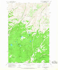 1966 Wenatchee Heights1968 Print · USGSWenatchee Heights and the surrounding high-plateau orchard lands are shown in detail during the mid-1960s as the local water infrastructure was maturing. Researchers can trace family landmarks like Steffen Bros Reservoir and Milo Wood Pond alongside the Pitcher School and Stemilt Hill Cem.4 unique versions available
 - 1975 Map of Wenatchee, 1977 Print
 1975 Wenatchee1977 Print · USGSCentral Washington in the mid-seventies shows a landscape of deep mountain valleys and bustling river towns. Trace the industrial and agricultural backbone of the region along the Yakima River and Columbia River, from the mining history of Roslyn to the rail hubs at Cle Elum and Appleyard.
 - 2003 Map of Wenatchee Heights, 2006 Print
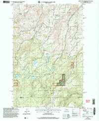 2003 Wenatchee Heights2006 Print · USGSUpper Chelan County and the heights above the Columbia River are shown in this turn-of-the-millennium survey of orchard lands and high ridges. Genealogists and local historians can locate the Stemilt Hill Cem, trace family holdings near Milo Wood Pond, or find the old Pitcher School.
 - 2011 Map of Wenatchee Heights, 2011 Print
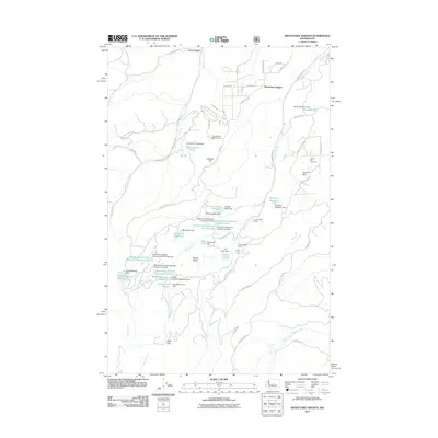 2011 Wenatchee Heights2011 Print · USGSWenatchee Heights and the Stemilt Basin are shown at the start of the 2010s, revealing a landscape of high-elevation reservoirs and rural homesteads. Genealogists and local historians can trace family land via Stemilt Hill Cemetery, Wheeler Hill, and the private Hoverhawk Ranch Airport.
 - 2014 Map of Wenatchee Heights, 2014 Print
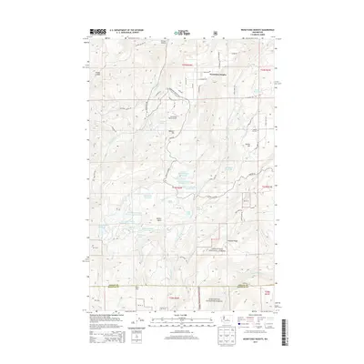 2014 Wenatchee Heights2014 Print · USGSWenatchee Heights and the highland plateaus of Chelan County are mapped here in the early 21st century. Researchers can trace the water infrastructure of Stemilt Hill, locating the Stemilt Hill Cem and family landmarks like the Steffen Brothers Reservoir.
 - 2017 Map of Wenatchee Heights, 2017 Print
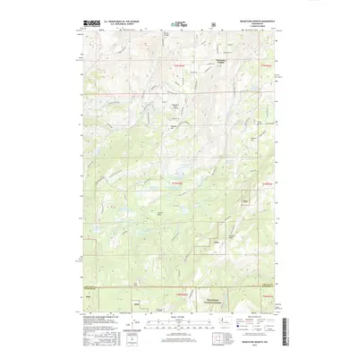 2017 Wenatchee Heights2017 Print · USGSWenatchee Heights and the Stemilt Basin are shown in detail during the late twenty-teens, highlighting the area's intricate irrigation and mountain topography. Genealogists and local historians can locate Stemilt Hill Cem and family sites like Steffen Brothers Reservoir.
 - 2020 Map of Wenatchee Heights, 2020 Print
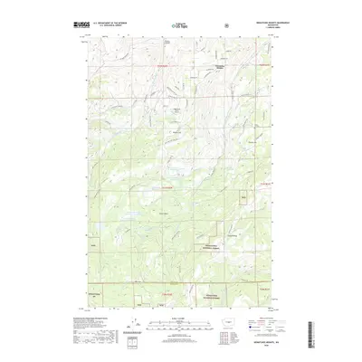 2020 Wenatchee Heights2020 Print · USGSThe high orchards and forested ridges south of the Columbia come into focus in this recent survey. Researchers can trace land use through local landmarks like the Stemilt Hill Cem, Hoverhawk Ranch Airport, and the Stemilt Basin.
 - 2023 Map of Wenatchee Heights, 2023 Print
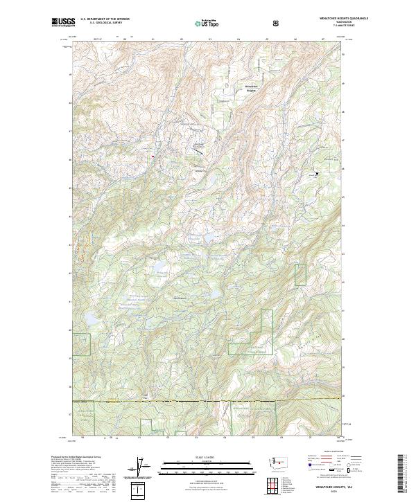 2023 Wenatchee Heights2023 Print · USGSAgricultural plateaus south of the Columbia River are captured in the early twenty-first century, showcasing a landscape of high-country orchards and reservoirs. Researchers can trace land use through local landmarks like Stemilt Hill Cem, the Hoverhawk Ranch Airport, and the Steffen Brothers Reservoir.
End of results
Showing maps 1-13 of 13
Frequently asked questions
- What are the different types of historical maps available for Wenatchee Heights?
- What is the oldest map of Wenatchee Heights?
- Where can I purchase historical maps of Wenatchee Heights for my home or office?
- Where can I download high-res historical maps of Wenatchee Heights?
- Are there historical topographic maps available for Wenatchee Heights?
- Is there historical aerial imagery available for Wenatchee Heights?
- Where are historical maps of Wenatchee Heights sourced from?