Old Maps of Castle Rock, Washington for Metal Detecting
Plan your next treasure hunt with 20 historic maps of Castle Rock. Find old homesites, ghost towns, trails, and gathering spots that may be lost to time — perfect for identifying promising metal detecting locations.
- Locate forgotten sites: Uncover places like long-lost settlements, abandoned rail lines, or gathering spots.
- Plan better hunts: Use map overlays combined with LiDAR or satellite views to narrow in on historically rich areas.
- Made for detectorists: Thousands of hobbyists use these maps to discover relics, coins, and hidden history.
Use these historic maps to boost your research and find new opportunities beneath the surface of Castle Rock.
Castle Rock, WA maps
(20)- 1921 Map of Kalama
 1921 Kalama1921 Print · USGSThe Columbia River corridor is captured here in the early twenties, showing the vital rail and road networks connecting Washington and Oregon. Genealogists and historians can locate riverside settlements like Carrolls PO, industrial landmarks like the Ostrander Tunnel, and early routes like the Pacific Highway.
 - 1941 Map of Olequa
 1941 Olequa1941 Print · USGSSouthwestern Washington on the eve of the Second World War shows a landscape defined by the Cowlitz River and the Northern Pacific rail line. Genealogists can trace early homesteads along Winlock to Toledo Road or locate family roots near St Francis Mission and Silver Lake.
 - 1953 Map of Hoquiam
 1953 Hoquiam1953 Print · USGSSouthwest Washington in the early fifties shows a landscape shaped by timber, rail, and river commerce from the coast to the Cascades. Genealogists and historians can trace the development of timber towns like Ryderwood and the industrial hubs of Hoquiam and Kelso.2 unique versions available
 - 1953 Map of Castle Rock, 1955 Print
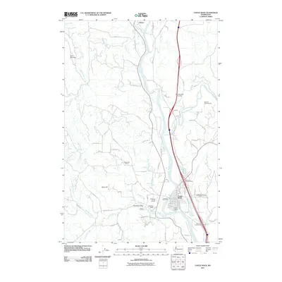
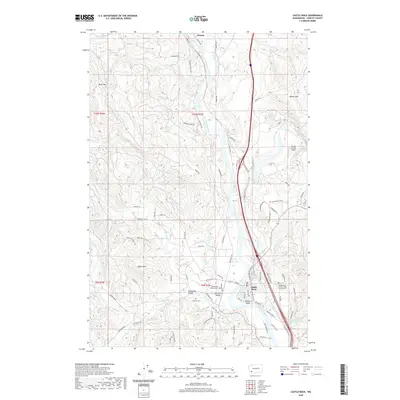
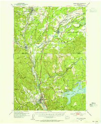 1953 Castle Rock1955 Print · USGSThe Cowlitz River valley in the early fifties shows a busy corridor of rail lines and river settlements. Genealogists can locate several family cemeteries and former rural school sites like the Wayside Sch and Lone Hill Cemetery near Toledo.2 unique versions available
 - 1953 Map of Kelso, 1955 Print
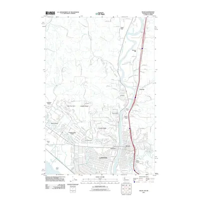
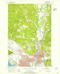 1953 Kelso1955 Print · USGSThe industrial corridor of the Cowlitz and Columbia rivers comes alive in the mid-1950s, showing the early development of the Longview-Kelso area. Researchers can trace the layout of local institutions like R A Long HS or find rural landmarks like Sandy Bend School and Huntington Rock.3 unique versions available
 - 1957 Map of Hoquiam
 1957 Hoquiam1957 Print · USGSCoastal timber ports and inland rail hubs define Southwest Washington during the late fifties. Genealogists can trace early twentieth-century settlements like Bordeaux, Tono, and Cosmopolis alongside the expanding tracks of the Northern Pacific.
 - 1958 Map of Hoquiam, 1969 Print
 1958 Hoquiam1969 Print · USGSSouthwest Washington and the Columbia River estuary appear here in the mid-century, before major landscape shifts. Researchers can trace the rail lines of the Northern Pacific, locate the Fort Henness Site, or explore the Naselle Air Force Station.2 unique versions available
 - 1962 Map of Hoquiam
 1962 Hoquiam1962 Print · USGSSouthwest Washington in the late fifties is defined by the bustling timber ports of Hoquiam and the rail-linked commerce of the interior valleys. Genealogists and historians can trace the early footprints of settlements like Raymond and Pe Ell, or locate family sites at Grand Mound Cem and Odd Fellows Cem.
 - 1984 Map of Castle Rock
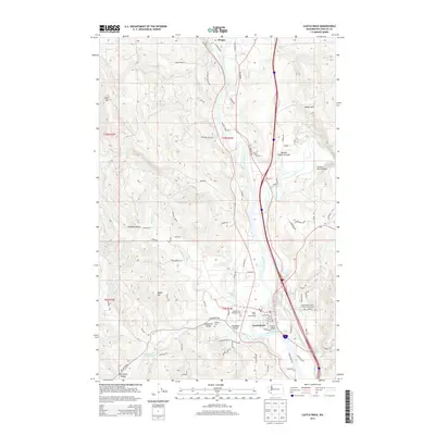
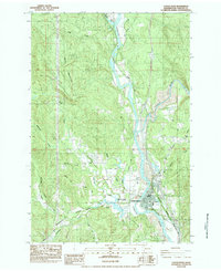 1984 Castle Rock1984 Print · USGSCastle Rock and the surrounding river valleys are captured here in the early 1980s as the regional landscape adjusted to local industry and transport. Genealogists and historians can trace family-named sites like the Whittle and Hubbard Cemetery, Jackson Cemetery, and the Arkansas Valley.2 unique versions available
 - 1990 Map of Kelso, 1995 Print
 1990 Kelso1995 Print · USGSThe industrial and riverfront centers of the Pacific Northwest are captured in the 1990s as the cities grew around the Cowlitz River. Genealogists and historians can trace neighborhood development near Lower Columbia College and locate old settlements like Ostrander and Pleasant Hill.
 - 2011 Map of Castle Rock, 2011 Print
 2011 Castle Rock2011 Print · USGSCovers Castle Rock, including Olequa, Cowlitz County, and other nearby areas
 - 2011 Map of Kelso, 2011 Print
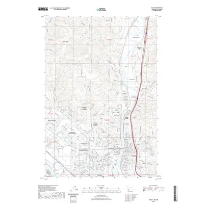
 2011 Kelso2011 Print · USGSCovers Castle Rock, including Longview, Kelso, and other nearby areas
 - 2013 Map of Kelso, 2013 Print
 2013 Kelso2013 Print · USGSCovers Castle Rock, including Longview, Kelso, and other nearby areas
 - 2013 Map of Castle Rock, 2013 Print
 2013 Castle Rock2013 Print · USGSCovers Castle Rock, including Olequa, Cowlitz County, and other nearby areas
 - 2017 Map of Castle Rock, 2017 Print
 2017 Castle Rock2017 Print · USGSCovers Castle Rock, including Olequa, Cowlitz County, and other nearby areas
 - 2017 Map of Kelso, 2017 Print
 2017 Kelso2017 Print · USGSCovers Castle Rock, including Longview, Kelso, and other nearby areas
 - 2020 Map of Kelso, 2020 Print
 2020 Kelso2020 Print · USGSCovers Castle Rock, including Longview, Kelso, and other nearby areas
 - 2020 Map of Castle Rock, 2020 Print
 2020 Castle Rock2020 Print · USGSCovers Castle Rock, including Olequa, Cowlitz County, and other nearby areas
 - 2023 Map of Kelso, 2023 Print
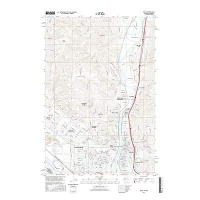
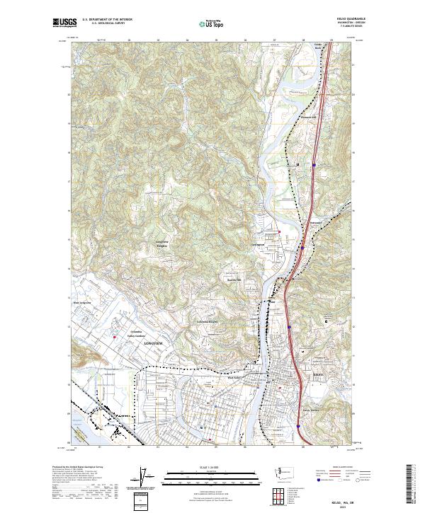 2023 Kelso2023 Print · USGSThe riverfront cities of Kelso and Longview are documented in this contemporary survey of Cowlitz County. Local researchers can pinpoint specific sites such as Lower Columbia College, Stockport Cem, and the residential neighborhoods of Beacon Hill or Davis Terrace.
 - 2023 Map of Castle Rock, 2023 Print
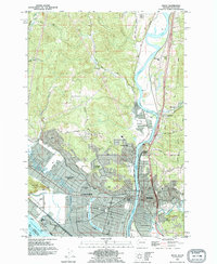
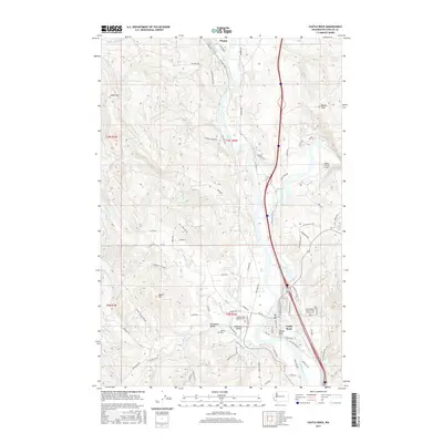
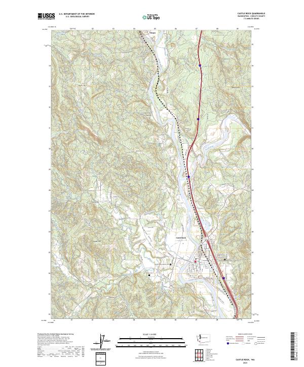 2023 Castle Rock2023 Print · USGSThe Cowlitz River valley and the town of Castle Rock are shown here in the 2020s, tracing the vital rail and river corridors of Washington. Researchers can locate the Independent Order of Odd Fellows Cem and landmarks like Bebe Mtn or the BNSF Railway.
End of results
Showing maps 1-20 of 20
Top cities near Castle Rock
- Longview historical maps
- Kelso historical maps
- Rainier historical maps
- Winlock historical maps
- Toledo historical maps
- Vader historical maps
See more
Frequently asked questions
- What are the different types of historical maps available for Castle Rock?
- What is the oldest map of Castle Rock?
- Where can I purchase historical maps of Castle Rock for my home or office?
- Where can I download high-res historical maps of Castle Rock?
- Are there historical topographic maps available for Castle Rock?
- Is there historical aerial imagery available for Castle Rock?
- Where are historical maps of Castle Rock sourced from?