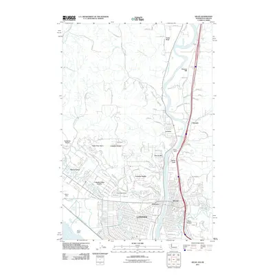
2011 Map of Kelso
USGS Topo · Published 2011About this map
The Cowlitz River forms the central spine of this landscape, carving through the sister cities of Kelso and Longview just north of their confluence with the Columbia River. This 2011 survey captures a highly developed residential and industrial corridor, characterized by the manicured curves of Lake Sacajawea and the expanding neighborhoods of Columbia Heights and Beacon Hill. The map illustrates the complex drainage and water management systems necessary for this riverfront terrain, from the Ditch Number Five network to the Cedar Street Reservoir.
Find a feature on this map
144 named features on this map. Tap any name to fly to it.
Don’t see what you’re looking for? This feature index may not catch every label — zoom into the map to look around manually.
Map Details
Editions of this 2011 Kelso Map
This is the sole edition of this map. No revisions or reprints were ever made.
Other maps of this area

1919 · Mayger
USGS Topo · 1:62,500

1921 · Kalama
USGS Topo · 1:62,500

1941 · Olequa
USGS Topo · 1:62,500

1941 · Clatskanie
USGS Topo · 1:62,500

1952 · Clatskanie
USGS Topo · 1:62,500

1953 · Hoquiam
USGS Topo · 1:250,000

1953 · Castle Rock
USGS Topo · 1:62,500

1953 · Mt. Brynion
USGS Topo · 1:24,000

1953 · Ryderwood
USGS Topo · 1:62,500

1953 · Rainier
USGS Topo · 1:24,000