Old Maps of Mud Spring, Washington for Academic Research
Study the evolution of Mud Spring with 9 high-resolution historic maps. Whether you're teaching, researching, or modeling changes in land use, these maps provide essential visual documentation of urban, environmental, and geographic change.
- Analyze long-term change: Track patterns in development, transportation, and natural features.
- Ideal for environmental or urban studies: Support academic projects with primary historical map data.
- Use in the classroom or lab: Educators and researchers rely on these maps to bring historical context to life.
These maps are a powerful tool for teaching, research, and visualizing how Mud Spring has changed over the decades.
Mud Spring, WA maps
(9)- 1953 Map of Ritzville, 1966 Print
 1953 Ritzville1966 Print · USGSEastern Washington was undergoing a massive agricultural and industrial transformation in the mid-fifties as irrigation from the Grand Coulee Dam reached the plateau. Researchers can trace the mid-century rail network of the Great Northern and locate vital local sites like Larson Air Force Base and Odessa.3 unique versions available
 - 1959 Map of Ritzville
 1959 Ritzville1959 Print · USGSEastern Washington in the late fifties reveals a landscape transformed by massive irrigation projects and postwar growth. Genealogists and historians can trace rail-line communities from Ritzville to Davenport and locate landmarks like Larson Air Force Base and Telford Station.
 - 1965 Map of Ritzville
 1965 Ritzville1965 Print · USGSCentral Washington during the mid-sixties shows a landscape shaped by massive irrigation projects and the Cold War. Genealogists and historians can trace rail-town life and military presence through Ephrata Air Base, the Telford Station, and local schools.
 - 1968 Map of Mud Spring, 1971 Print
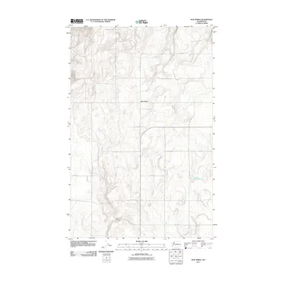
 1968 Mud Spring1971 Print · USGSDouglas County high country comes into focus in the late sixties, showing a landscape shaped by ranching and natural springs. Researchers can trace the social geography of the area through the Mud Spring Community Club and local landmarks like Marion Hill Spring and Dutch Henry Draw.
 - 2011 Map of Mud Spring, 2011 Print
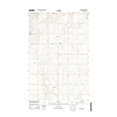
 2011 Mud Spring2011 Print · USGSCovers Mud Spring, including Douglas County, United States, and other nearby areas
 - 2014 Map of Mud Spring, 2014 Print
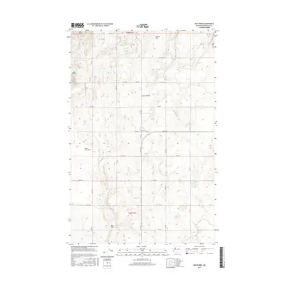
 2014 Mud Spring2014 Print · USGSCovers Mud Spring, including Douglas County, United States, and other nearby areas
 - 2017 Map of Mud Spring, 2017 Print
 2017 Mud Spring2017 Print · USGSCovers Mud Spring, including Douglas County, United States, and other nearby areas
 - 2020 Map of Mud Spring, 2020 Print
 2020 Mud Spring2020 Print · USGSCovers Mud Spring, including Douglas County, United States, and other nearby areas
 - 2023 Map of Mud Spring, 2023 Print
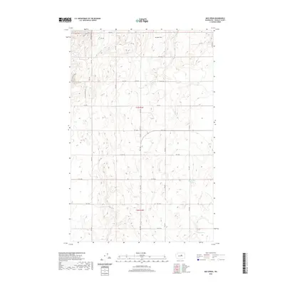
 2023 Mud Spring2023 Print · USGSDouglas County's high plateau comes into focus here, showing the intricate network of rural roads and springs that sustained local ranching. Trace the landscape through Boulder Park and find specific water sources like Mud Spring and Marion Hill Spring.
End of results
Showing maps 1-9 of 9
Top cities near Mud Spring
Frequently asked questions
- What are the different types of historical maps available for Mud Spring?
- What is the oldest map of Mud Spring?
- Where can I purchase historical maps of Mud Spring for my home or office?
- Where can I download high-res historical maps of Mud Spring?
- Are there historical topographic maps available for Mud Spring?
- Is there historical aerial imagery available for Mud Spring?
- Where are historical maps of Mud Spring sourced from?