2000s (21st Century) Maps of Royal City, Washington
Explore 10 historic maps of Royal City from the 2000s (21st Century). These maps offer a rare glimpse into what life looked like during the 2000s — showing old roads, neighborhoods, homes, and landmarks that have changed or disappeared over time.
Whether you're researching your family's past, planning a metal detecting trip, or studying how Royal City's landscape evolved across the 2000s, these high-resolution maps are a powerful tool for exploring the history of this region.
- Focus on a specific era: All maps on this page are from the 2000s, giving you a focused view of this time period.
- See what’s changed: Compare century-old streets, trails, and buildings to today's modern landscape using overlays and satellite layers.
- Research with precision: Use these maps for genealogy, historical research, land use analysis, or educational projects.
- View, download, or print: Maps are fully viewable online in high resolution, and can be downloaded or printed for your own records.
Start exploring Royal City's history through authentic maps from the 2000s. This is your window into the past.
Royal City, WA maps
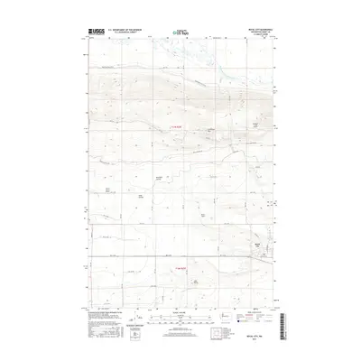
(10)- 2011 Map of Royal City, 2011 Print
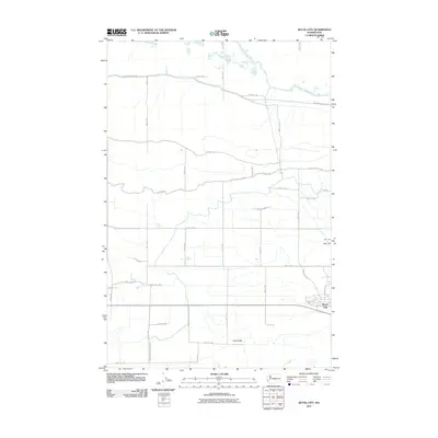 2011 Royal City2011 Print · USGSCovers Royal City, including Grant County, United States, and other nearby areas
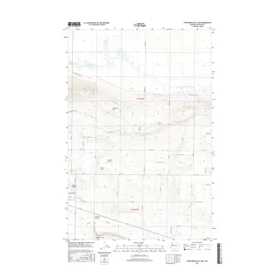
 - 2011 Map of Frenchman Hills Lake, 2011 Print
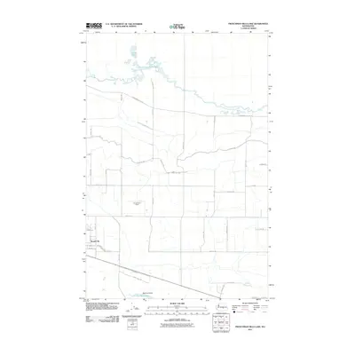 2011 Frenchman Hills Lake2011 Print · USGSCovers Royal City, including Grant County, United States, and other nearby areas
 - 2013 Map of Royal City, 2013 Print
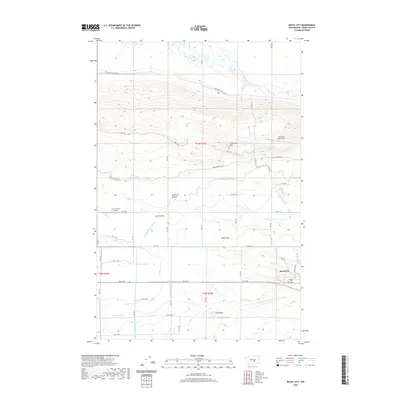
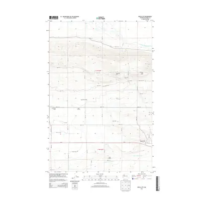 2013 Royal City2013 Print · USGSCovers Royal City, including Grant County, United States, and other nearby areas
 - 2014 Map of Frenchman Hills Lake, 2014 Print
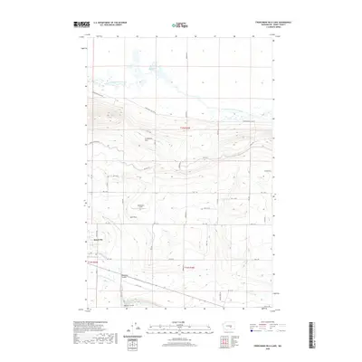
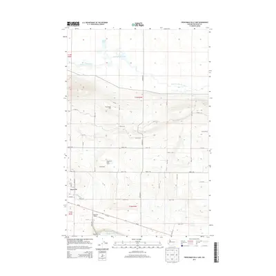 2014 Frenchman Hills Lake2014 Print · USGSCovers Royal City, including Grant County, United States, and other nearby areas
 - 2017 Map of Frenchman Hills Lake, 2017 Print
 2017 Frenchman Hills Lake2017 Print · USGSCovers Royal City, including Grant County, United States, and other nearby areas
 - 2017 Map of Royal City, 2017 Print
 2017 Royal City2017 Print · USGSCovers Royal City, including Grant County, United States, and other nearby areas
 - 2020 Map of Frenchman Hills Lake, 2020 Print
 2020 Frenchman Hills Lake2020 Print · USGSCovers Royal City, including Grant County, United States, and other nearby areas
 - 2020 Map of Royal City, 2020 Print
 2020 Royal City2020 Print · USGSCovers Royal City, including Grant County, United States, and other nearby areas
 - 2023 Map of Frenchman Hills Lake, 2023 Print
 2023 Frenchman Hills Lake2023 Print · USGSRoyal City and the productive orchards of the Royal Slope are shown in great detail during the early 2020s. Researchers can trace the essential irrigation networks of the West Canal and Crab Creek Lateral alongside local landmarks like Christensen Field.
 - 2023 Map of Royal City, 2023 Print
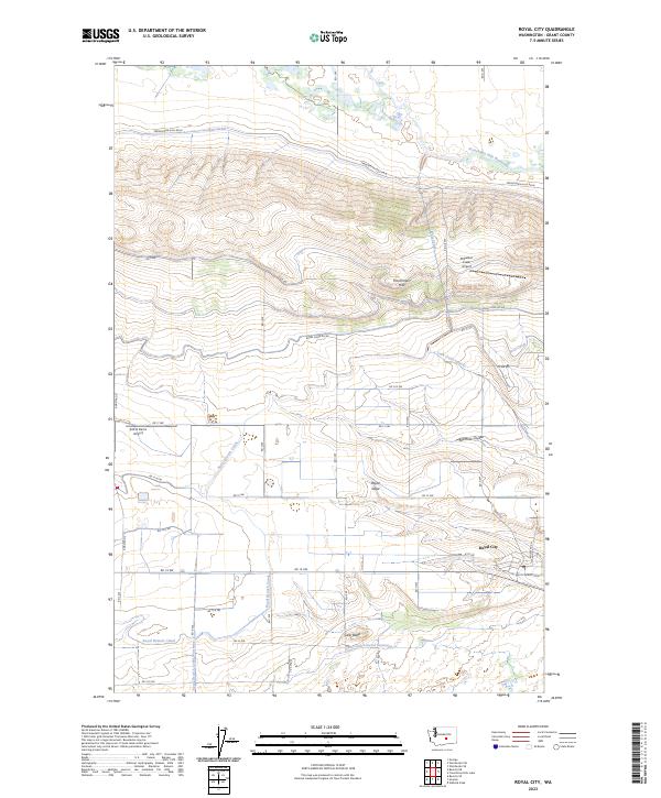 2023 Royal City2023 Print · USGSRoyal City and the surrounding Columbia Basin landscape are captured here in the early 2020s, showing the intricate water and road systems of this agricultural region. Researchers can trace the massive irrigation network through the Royal Branch Canal or locate local landmarks like Cash Butte and the Stillwater Creek Airport.
End of results
Showing maps 1-10 of 10
Frequently asked questions
- What are the different types of historical maps available for Royal City?
- What is the oldest map of Royal City?
- Where can I purchase historical maps of Royal City for my home or office?
- Where can I download high-res historical maps of Royal City?
- Are there historical topographic maps available for Royal City?
- Is there historical aerial imagery available for Royal City?
- Where are historical maps of Royal City sourced from?