Old Maps of Royal City, Washington for Genealogy
Trace your family roots with 19 historic maps of Royal City. These high-res maps reveal old neighborhoods, homesites, landmarks, and streets — helping you uncover where your ancestors lived and how the area evolved over time.
- Explore historic neighborhoods: Identify where your relatives may have lived in the 1800s or 1900s.
- Compare maps over time: Trace the changes in streets, buildings, and landmarks for multi-generational research.
- Perfect for genealogy & ancestry research: Used by family historians and researchers to map out lineage and migration.
These maps are an incredible resource for exploring your personal connection to Royal City's past.
Royal City, WA maps
(19)- 1911 Map of Red Rock
 1911 Red Rock1911 Print · USGSGrant County is captured during the arrival of the transcontinental railroad in the early twentieth century. Genealogists and researchers can trace the early rail stops at Smyrna and Colletta or locate rural landmarks like Sumner School and Joyces Ranch.2 unique versions available
 - 1950 Map of Smyrna, 1963 Print
 1950 Smyrna1963 Print · USGSGrant County ranching and rail life are centered on Smyrna during the mid-twentieth century, as the landscape transitions from the Frenchman Hills to the Wahluke Slope. Researchers can trace old family holdings like Schrum Ranch and the distinctive Natural Corral along the Chicago Milwaukee St Paul and Pacific line.
 - 1951 Map of Smyrna
 1951 Smyrna1951 Print · USGSThe mid-century Columbia Basin comes to life along the rail line through the Smyrna area, where desert ranching defined the landscape. Genealogists and historians can trace the locations of the Schrum Ranch, Smyrna, and the Natural Corral canyon.
 - 1953 Map of Walla Walla, 1964 Print
 1953 Walla Walla1964 Print · USGSSoutheast Washington enters the atomic and hydroelectric age in the mid-twentieth century as new dams reshape the desert landscape. You can trace the development of the Hanford Works, identify remote rail stops like Novara Siding, and locate the historic Dry Creek Cem.3 unique versions available
 - 1958 Map of Walla Walla
 1958 Walla Walla1958 Print · USGSThe Tri-Cities and Walla Walla region are captured here during the mid-century expansion of atomic energy and river infrastructure. Genealogists and historians can trace the early layout of Richland (AEC), the rural Hatton and Washtucna settlements, and landmarks like Palouse Falls State Park.
 - 1965 Map of Smyrna, 1966 Print
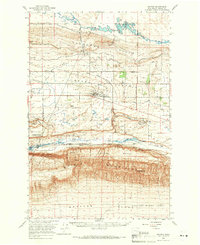 1965 Smyrna1966 Print · USGSMid-century irrigation and atomic-era history meet in this survey of Grant County. Researchers can trace the development of Royal City, locate family landmarks like Chadbourne Ranch, and see the northern boundary of the Hanford Works (A E C).
 - 1979 Map of Priest Rapids
 1979 Priest Rapids1979 Print · USGSThe Columbia River basin in the late seventies reveals a landscape shaped by massive federal projects and rail expansion. Trace the Hanford Works perimeter, the Priest Rapids Dam, and the early growth of Royal City and Othello.2 unique versions available
 - 1986 Map of Royal City
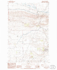 1986 Royal City1986 Print · USGSGrant County agriculture is seen at its peak in the mid-1980s as irrigation transforms the high desert of the Royal Slope. Trace the vital water infrastructure of the West Canal and Royal Branch Canal alongside Royal City and Cash Butte.
 - 1986 Map of Frenchman Hills Lake
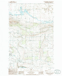 1986 Frenchman Hills Lake1986 Print · USGSGrant County’s high desert and irrigation networks are on full display in the mid-1980s, showcasing the area’s agricultural transformation. Trace the growth of Royal City and locate local infrastructure such as the Frenchman Hills Pumping Plant and Red Rock Lake.
 - 2011 Map of Royal City, 2011 Print
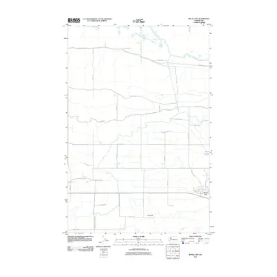 2011 Royal City2011 Print · USGSRoyal City and the irrigated plains of Grant County are shown here in the early twenty-first century. Researchers can trace local water management through the Frenchman Hills Wasteway and Royal Branch Canal Wasteway, or locate landmarks like Cash Butte.
 - 2011 Map of Frenchman Hills Lake, 2011 Print
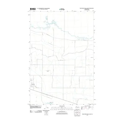 2011 Frenchman Hills Lake2011 Print · USGSRoyal City and the surrounding Columbia Basin farmlands are captured in the early 2000s, showing the complex intersection of irrigation and geography. Researchers can trace the agricultural grid to Christensen Field, follow the Frenchman Hills Wasteway, or locate the geologic Natural Corral.
 - 2013 Map of Royal City, 2013 Print
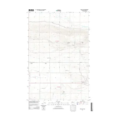 2013 Royal City2013 Print · USGSThe irrigated farmlands of the Columbia Basin are captured here in the early twenty-first century, centered on the community of Royal City. Researchers can trace the sophisticated water systems of the Frenchman Hills Wasteway or locate landmarks like Cash Butte and Red Rock Coulee.
 - 2014 Map of Frenchman Hills Lake, 2014 Print
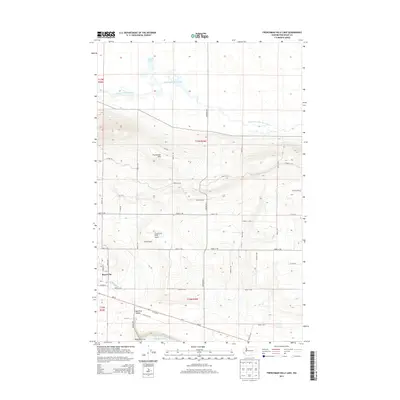 2014 Frenchman Hills Lake2014 Print · USGSThe agricultural plains of the Royal Slope are captured here in the early twenty-first century, showing the intersection of irrigation and industry. Trace the development of Royal City and local landmarks like Christensen Field Airport or the unique geology of Red Rock Coulee.
 - 2017 Map of Frenchman Hills Lake, 2017 Print
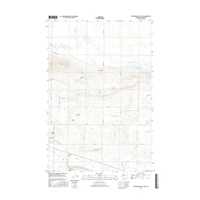 2017 Frenchman Hills Lake2017 Print · USGSRoyal City and the surrounding Columbia Basin agricultural lands are documented here during the late twenty-teens. Researchers can trace local landmarks and water features like Christensen Field, Red Rock Coulee, and the Frenchman Hills Wasteway.
 - 2017 Map of Royal City, 2017 Print
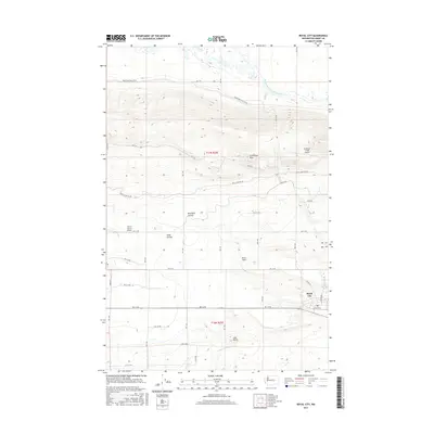 2017 Royal City2017 Print · USGSThe agricultural heart of the Royal Slope is documented here in the late twenty-teens, showing the intricate irrigation network of Grant County. Researchers can trace the water management system through the Frenchman Hills Wasteway and locate local landmarks like Cash Butte or the Stillwater Creek Airport.
 - 2020 Map of Frenchman Hills Lake, 2020 Print
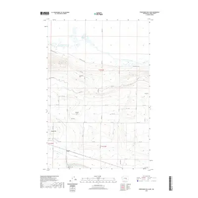 2020 Frenchman Hills Lake2020 Print · USGSRoyal City and the Royal Slope are captured in this recent survey of Washington's irrigated agricultural heartland. Researchers can trace the sophisticated water networks of the W Canal and Frenchman Hills Wasteway alongside local landmarks like Christensen Field.
 - 2020 Map of Royal City, 2020 Print
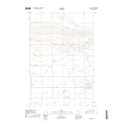 2020 Royal City2020 Print · USGSRoyal City and the surrounding irrigation tracts are captured here in the contemporary era. Researchers can trace the complex water systems of the West Canal and Royal Branch Canal alongside local landmarks like Cash Butte and Stillwater Creek Airport.
 - 2023 Map of Frenchman Hills Lake, 2023 Print
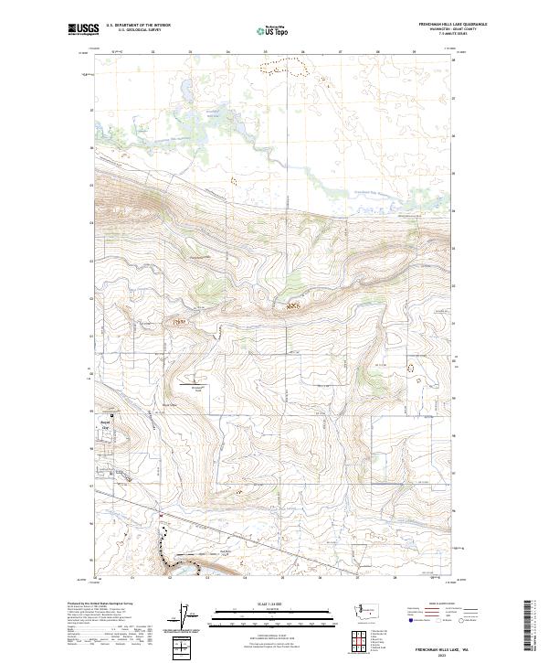 2023 Frenchman Hills Lake2023 Print · USGSRoyal City and the productive orchards of the Royal Slope are shown in great detail during the early 2020s. Researchers can trace the essential irrigation networks of the West Canal and Crab Creek Lateral alongside local landmarks like Christensen Field.
 - 2023 Map of Royal City, 2023 Print
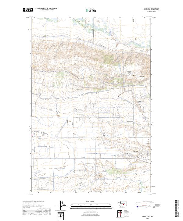 2023 Royal City2023 Print · USGSRoyal City and the surrounding Columbia Basin landscape are captured here in the early 2020s, showing the intricate water and road systems of this agricultural region. Researchers can trace the massive irrigation network through the Royal Branch Canal or locate local landmarks like Cash Butte and the Stillwater Creek Airport.
End of results
Showing maps 1-19 of 19
Frequently asked questions
- What are the different types of historical maps available for Royal City?
- What is the oldest map of Royal City?
- Where can I purchase historical maps of Royal City for my home or office?
- Where can I download high-res historical maps of Royal City?
- Are there historical topographic maps available for Royal City?
- Is there historical aerial imagery available for Royal City?
- Where are historical maps of Royal City sourced from?