Old Maps of Ruff, Washington for Academic Research
Study the evolution of Ruff with 11 high-resolution historic maps. Whether you're teaching, researching, or modeling changes in land use, these maps provide essential visual documentation of urban, environmental, and geographic change.
- Analyze long-term change: Track patterns in development, transportation, and natural features.
- Ideal for environmental or urban studies: Support academic projects with primary historical map data.
- Use in the classroom or lab: Educators and researchers rely on these maps to bring historical context to life.
These maps are a powerful tool for teaching, research, and visualizing how Ruff has changed over the decades.
Ruff, WA maps
(11)- 1925 Map of Schrag
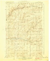 1925 Schrag1925 Print · USGSAdams County’s high desert plateau comes alive in the mid-twenties, showing a landscape of scattered grain elevators and family-named landmarks. Trace early rail life through Batum and Schrag, or locate rural schoolhouses like High Valley School and the Janke School.2 unique versions available
 - 1953 Map of Ritzville, 1966 Print
 1953 Ritzville1966 Print · USGSEastern Washington was undergoing a massive agricultural and industrial transformation in the mid-fifties as irrigation from the Grand Coulee Dam reached the plateau. Researchers can trace the mid-century rail network of the Great Northern and locate vital local sites like Larson Air Force Base and Odessa.3 unique versions available
 - 1959 Map of Ritzville
 1959 Ritzville1959 Print · USGSEastern Washington in the late fifties reveals a landscape transformed by massive irrigation projects and postwar growth. Genealogists and historians can trace rail-line communities from Ritzville to Davenport and locate landmarks like Larson Air Force Base and Telford Station.
 - 1965 Map of Ritzville
 1965 Ritzville1965 Print · USGSCentral Washington during the mid-sixties shows a landscape shaped by massive irrigation projects and the Cold War. Genealogists and historians can trace rail-town life and military presence through Ephrata Air Base, the Telford Station, and local schools.
 - 1967 Map of Ruff, 1969 Print
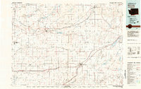
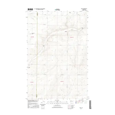
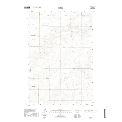
 1967 Ruff1969 Print · USGSIn the late 1960s, the railroad and farm road network defined life in this corner of Adams County. Trace the winding Milwaukee Road through Rocky Coulee and locate family landmarks like Schultz Memorial Cem and the settlement of Ruff.2 unique versions available
 - 1982 Map of Ritzville, 1983 Print
 1982 Ritzville1983 Print · USGSEastern Washington's scabland landscape is captured here in the early eighties as a network of rail-towns and coulees. Researchers can trace the BURLINGTON NORTHERN route through Odessa, Lamona, and Ritzville or locate landmarks like Sprague Lake and Karakul Hills.
 - 2011 Map of Ruff, 2011 Print
 2011 Ruff2011 Print · USGSCovers Ruff, including Grant County, Adams County, and other nearby areas
 - 2013 Map of Ruff, 2013 Print
 2013 Ruff2013 Print · USGSCovers Ruff, including Grant County, Adams County, and other nearby areas
 - 2017 Map of Ruff, 2017 Print
 2017 Ruff2017 Print · USGSCovers Ruff, including Grant County, Adams County, and other nearby areas
 - 2020 Map of Ruff, 2020 Print
 2020 Ruff2020 Print · USGSCovers Ruff, including Grant County, Adams County, and other nearby areas
 - 2023 Map of Ruff, 2023 Print
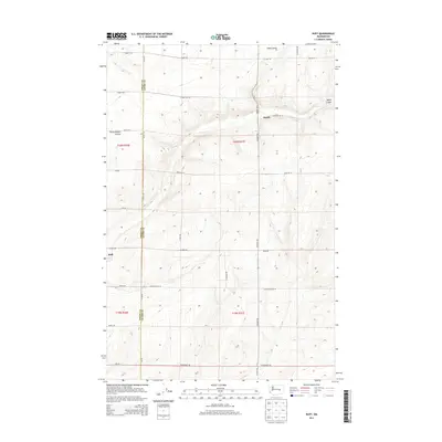
 2023 Ruff2023 Print · USGSThe high desert landscape along the border of Grant and Adams counties is captured here in its modern agricultural form. Genealogists and local historians can pinpoint the Kappel Cem and trace the proximity of Moody and Ruff to the Rocky Coulee.
End of results
Showing maps 1-11 of 11
Top cities near Ruff
Frequently asked questions
- What are the different types of historical maps available for Ruff?
- What is the oldest map of Ruff?
- Where can I purchase historical maps of Ruff for my home or office?
- Where can I download high-res historical maps of Ruff?
- Are there historical topographic maps available for Ruff?
- Is there historical aerial imagery available for Ruff?
- Where are historical maps of Ruff sourced from?