2000s (21st Century) Maps of Kent, Washington
Explore 30 historic maps of Kent from the 2000s (21st Century). These maps offer a rare glimpse into what life looked like during the 2000s — showing old roads, neighborhoods, homes, and landmarks that have changed or disappeared over time.
Whether you're researching your family's past, planning a metal detecting trip, or studying how Kent's landscape evolved across the 2000s, these high-resolution maps are a powerful tool for exploring the history of this region.
- Focus on a specific era: All maps on this page are from the 2000s, giving you a focused view of this time period.
- See what’s changed: Compare century-old streets, trails, and buildings to today's modern landscape using overlays and satellite layers.
- Research with precision: Use these maps for genealogy, historical research, land use analysis, or educational projects.
- View, download, or print: Maps are fully viewable online in high resolution, and can be downloaded or printed for your own records.
Start exploring Kent's history through authentic maps from the 2000s. This is your window into the past.
Kent, WA maps
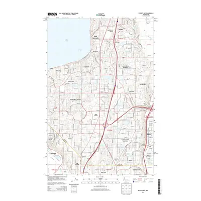
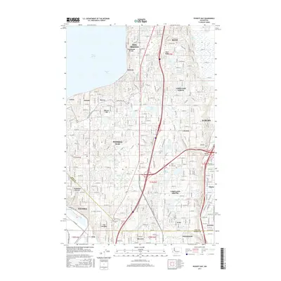
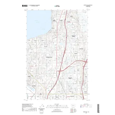
(30)- 2011 Map of Poverty Bay, 2011 Print
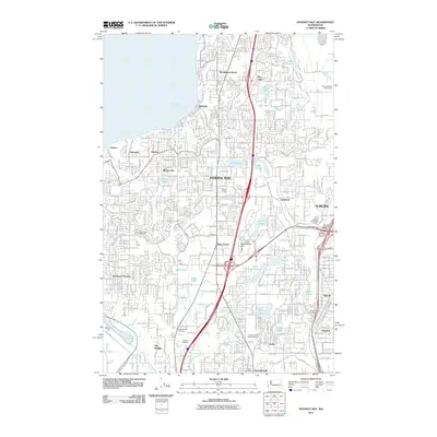 2011 Poverty Bay2011 Print · USGSCovers Kent, including Tacoma, Federal Way, and other nearby areas
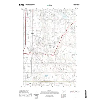
 - 2011 Map of Auburn, 2011 Print
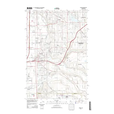
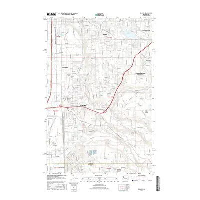
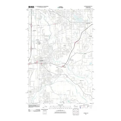 2011 Auburn2011 Print · USGSCovers Kent, including Auburn, Covington, and other nearby areas
 - 2011 Map of Renton, 2011 Print
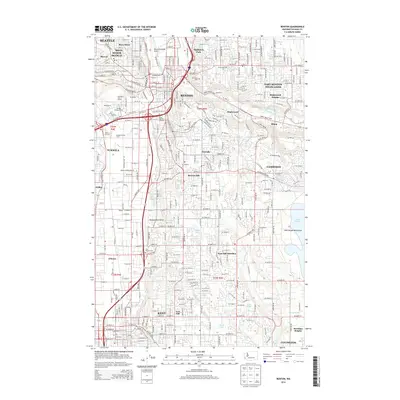
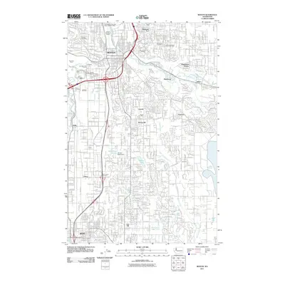 2011 Renton2011 Print · USGSCovers Kent, including Seattle, Renton, and other nearby areas
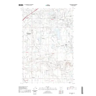
 - 2011 Map of Black Diamond, 2011 Print
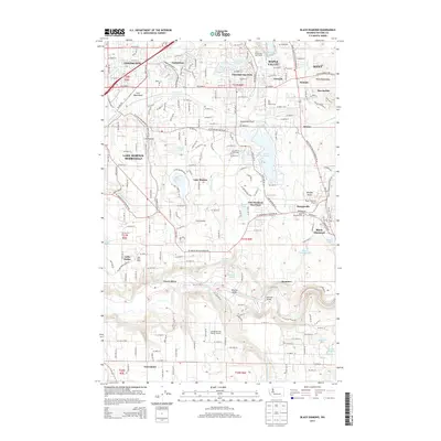
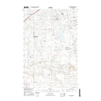
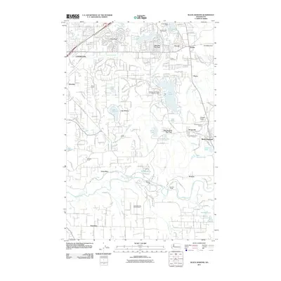 2011 Black Diamond2011 Print · USGSCovers Kent, including Maple Valley, Covington, and other nearby areas
 - 2011 Map of Cumberland, 2011 Print
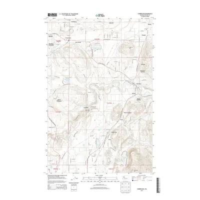
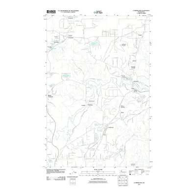 2011 Cumberland2011 Print · USGSCovers Kent, including Black Diamond, Ravensdale, and other nearby areas
 - 2011 Map of Des Moines, 2011 Print
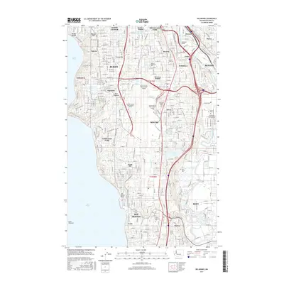
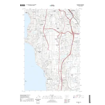
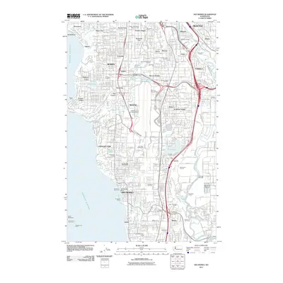 2011 Des Moines2011 Print · USGSCovers Kent, including Seattle, Renton, and other nearby areas
 - 2014 Map of Des Moines, 2014 Print
 2014 Des Moines2014 Print · USGSCovers Kent, including Seattle, Renton, and other nearby areas
 - 2014 Map of Renton, 2014 Print
 2014 Renton2014 Print · USGSCovers Kent, including Seattle, Renton, and other nearby areas
 - 2014 Map of Black Diamond, 2014 Print
 2014 Black Diamond2014 Print · USGSCovers Kent, including Maple Valley, Covington, and other nearby areas
 - 2014 Map of Poverty Bay, 2014 Print
 2014 Poverty Bay2014 Print · USGSCovers Kent, including Tacoma, Federal Way, and other nearby areas
 - 2014 Map of Auburn, 2014 Print
 2014 Auburn2014 Print · USGSCovers Kent, including Auburn, Covington, and other nearby areas
 - 2014 Map of Cumberland, 2014 Print
 2014 Cumberland2014 Print · USGSCovers Kent, including Black Diamond, Ravensdale, and other nearby areas
 - 2017 Map of Poverty Bay, 2017 Print
 2017 Poverty Bay2017 Print · USGSCovers Kent, including Tacoma, Federal Way, and other nearby areas
 - 2017 Map of Black Diamond, 2017 Print
 2017 Black Diamond2017 Print · USGSCovers Kent, including Maple Valley, Covington, and other nearby areas
 - 2017 Map of Auburn, 2017 Print
 2017 Auburn2017 Print · USGSCovers Kent, including Auburn, Covington, and other nearby areas
 - 2017 Map of Des Moines, 2017 Print
 2017 Des Moines2017 Print · USGSCovers Kent, including Seattle, Renton, and other nearby areas
 - 2017 Map of Renton, 2017 Print
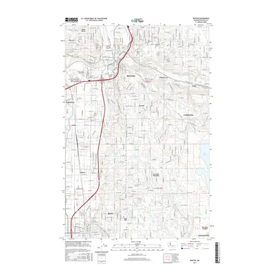 2017 Renton2017 Print · USGSCovers Kent, including Seattle, Renton, and other nearby areas
 - 2017 Map of Cumberland, 2017 Print
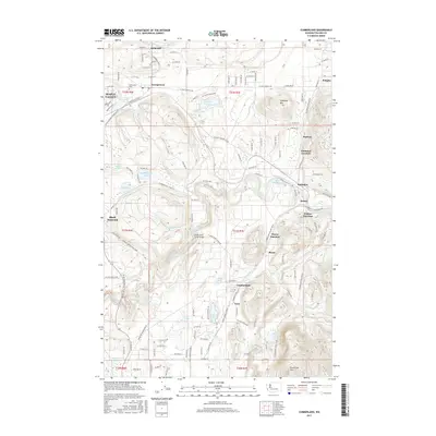 2017 Cumberland2017 Print · USGSCovers Kent, including Black Diamond, Ravensdale, and other nearby areas
 - 2020 Map of Cumberland, 2020 Print
 2020 Cumberland2020 Print · USGSCovers Kent, including Black Diamond, Ravensdale, and other nearby areas
 - 2020 Map of Renton, 2020 Print
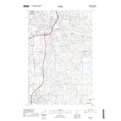 2020 Renton2020 Print · USGSCovers Kent, including Seattle, Renton, and other nearby areas
 - 2020 Map of Poverty Bay, 2020 Print
 2020 Poverty Bay2020 Print · USGSCovers Kent, including Tacoma, Federal Way, and other nearby areas
 - 2020 Map of Des Moines, 2020 Print
 2020 Des Moines2020 Print · USGSCovers Kent, including Seattle, Renton, and other nearby areas
 - 2020 Map of Black Diamond, 2020 Print
 2020 Black Diamond2020 Print · USGSCovers Kent, including Maple Valley, Covington, and other nearby areas
 - 2020 Map of Auburn, 2020 Print
 2020 Auburn2020 Print · USGSCovers Kent, including Auburn, Covington, and other nearby areas
 - 2023 Map of Cumberland, 2023 Print
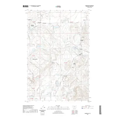
 2023 Cumberland2023 Print · USGSKing County's coal mining and timber heritage is visible in this contemporary survey of the foothills near Black Diamond and Cumberland. Researchers can locate family sites at Ravensdale Cem, trace industrial landmarks like Ravensdale Pit, or explore the riparian geography of the Green River.
Showing maps 1-25 of 30
Top cities near Kent
- Seattle historical maps
- Tacoma historical maps
- Bellevue historical maps
- Renton historical maps
- Federal Way historical maps
- Auburn historical maps
See more
Top neighborhoods of Kent
- East Hill historical maps
- Midway historical maps
- Willow Ridge historical maps
- Meridian Forest historical maps
- Cobblestone Lane historical maps
- Hillshire Terrace historical maps
See more
Frequently asked questions
- What are the different types of historical maps available for Kent?
- What is the oldest map of Kent?
- Where can I purchase historical maps of Kent for my home or office?
- Where can I download high-res historical maps of Kent?
- Are there historical topographic maps available for Kent?
- Is there historical aerial imagery available for Kent?
- Where are historical maps of Kent sourced from?