Old Maps of Fragaria, Washington for Genealogy
Trace your family roots with 12 historic maps of Fragaria. These high-res maps reveal old neighborhoods, homesites, landmarks, and streets — helping you uncover where your ancestors lived and how the area evolved over time.
- Explore historic neighborhoods: Identify where your relatives may have lived in the 1800s or 1900s.
- Compare maps over time: Trace the changes in streets, buildings, and landmarks for multi-generational research.
- Perfect for genealogy & ancestry research: Used by family historians and researchers to map out lineage and migration.
These maps are an incredible resource for exploring your personal connection to Fragaria's past.
Fragaria, WA maps
(12)- 1942 Map of Gig Harbor, 1954 Print
 1942 Gig Harbor1954 Print · USGSThe Kitsap Peninsula and surrounding islands are mapped here during the early 1940s, highlighting a maritime world of inlets and ferries. Trace old family sites and rural landmarks like Elgin Sch, Lisabeula, and the many landings along Henderson Bay.
 - 1943 Map of Gig Harbor
 1943 Gig Harbor1943 Print · USGSThe Puget Sound shoreline and its peninsulas are captured here in the 1940s as a maritime network of small landings and inland schools. Genealogists can trace family footprints at Sunny Slope Sch, Lisabeula, and the many homesteads near Artondale.
 - 1953 Map of Olalla, 1955 Print
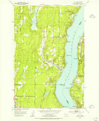 1953 Olalla1955 Print · USGSThe Puget Sound shoreline comes alive in the early fifties, mapping the coastal communities of Kitsap County and Vashon Island. Trace family roots at Fraola Cemetery or explore the waterfront history of Olalla and Lisabeula.6 unique versions available
 - 1958 Map of Seattle, 1966 Print
 1958 Seattle1966 Print · USGSThe Puget Sound region in the mid-fifties showcases a balance of urban growth and Olympic wilderness. Trace the industrial waterfronts of Tacoma, old naval facilities like Keyport Naval Res, and mountain peaks like Mount Constance.3 unique versions available
 - 1962 Map of Seattle
 1962 Seattle1962 Print · USGSThe Puget Sound region and Olympic Peninsula are shown at a peak of mid-century growth. Genealogists and historians can trace rail lines like the Pacific Coast RR or locate landmarks such as Fort Lawton and the Bothell Power Station.
 - 1975 Map of Tacoma, 1977 Print
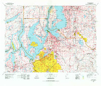 1975 Tacoma1977 Print · USGSThe Puget Sound region in the mid-seventies reveals a landscape of growing urban centers and massive federal installations. Genealogists and historians can trace the development of Tacoma and Olympia, or locate landmarks like the McNeil Island Penitentiary and Fort Lewis Military Reservation.
 - 1991 Map of Tacoma
 1991 Tacoma1991 Print · USGSThe South Sound and Tacoma waterfront appear here in the early nineties, showing a landscape defined by deep-water inlets and massive federal installations. Researchers can trace the development of Lakewood Center or locate the historic rail lines of the Burlington Northern Railroad and Union Pacific Railroad.
 - 2011 Map of Olalla, 2011 Print
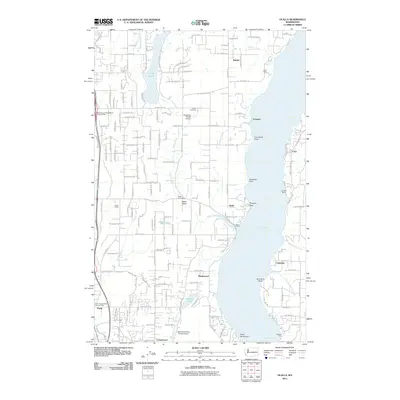 2011 Olalla2011 Print · USGSCoastal life along Colvos Passage is documented in the early twenty-first century, showing the established communities of Kitsap County. Genealogists can locate family landmarks like Fraola Cemetery or trace the development of Olalla, Banner, and Fragaria.
 - 2014 Map of Olalla, 2014 Print
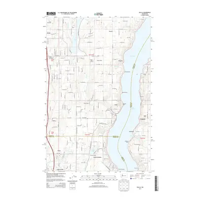 2014 Olalla2014 Print · USGSThe Kitsap Peninsula and Vashon Island meet across the water in this recent survey of the Puget Sound shoreline. Researchers can trace family sites near Fraola Cem, locate the small Vaughan Ranch Airfield, or explore the maritime reaches of Olalla Bay.
 - 2017 Map of Olalla, 2017 Print
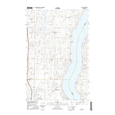 2017 Olalla2017 Print · USGSThe western shores of the Colvos Passage come into focus in the late 2010s, showcasing the maritime settlements of Kitsap and King counties. Genealogists and local historians can trace family locations and old property lines near Olalla, Fragaria, and the eastern edge of Vashon Island at Lisabeula.
 - 2020 Map of Olalla, 2020 Print
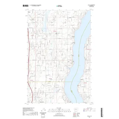 2020 Olalla2020 Print · USGSCoastal life along the Colvos Passage is caught in detail in 2020, showing the shoreline settlements of Olalla and Lisabeula. Genealogists and local historians can trace family roots through the Fraola Cem and explore landmarks like the Vaughan Ranch Airfield.
 - 2023 Map of Olalla, 2023 Print
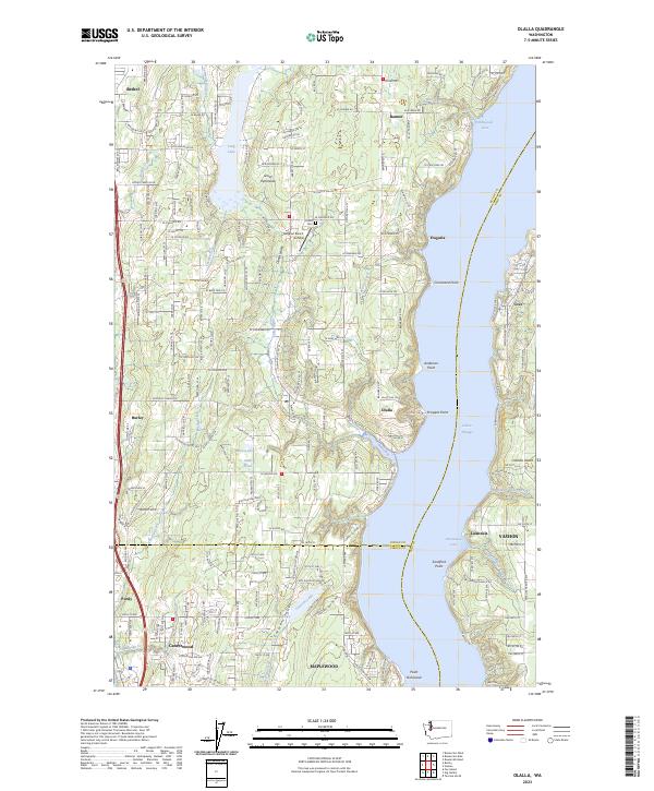 2023 Olalla2023 Print · USGSThe shorelines of the Great Peninsula and Vashon Island meet at Colvos Passage in this recent survey. Local historians can trace old community centers like Fragaria, Olalla, and the historic Fraola Cem.
End of results
Showing maps 1-12 of 12
Top cities near Fragaria
- Seattle historical maps
- Tacoma historical maps
- Federal Way historical maps
- Burien historical maps
- Bremerton historical maps
- University Place historical maps
See more
Frequently asked questions
- What are the different types of historical maps available for Fragaria?
- What is the oldest map of Fragaria?
- Where can I purchase historical maps of Fragaria for my home or office?
- Where can I download high-res historical maps of Fragaria?
- Are there historical topographic maps available for Fragaria?
- Is there historical aerial imagery available for Fragaria?
- Where are historical maps of Fragaria sourced from?