Old Maps of Glenoma, Washington for Academic Research
Study the evolution of Glenoma with 14 high-resolution historic maps. Whether you're teaching, researching, or modeling changes in land use, these maps provide essential visual documentation of urban, environmental, and geographic change.
- Analyze long-term change: Track patterns in development, transportation, and natural features.
- Ideal for environmental or urban studies: Support academic projects with primary historical map data.
- Use in the classroom or lab: Educators and researchers rely on these maps to bring historical context to life.
These maps are a powerful tool for teaching, research, and visualizing how Glenoma has changed over the decades.
Glenoma, WA maps
(14)- 1937 Map of Eatonville
 1937 Eatonville1937 Print · USGSThe timber and mining corridors of Pierce and Lewis Counties are captured here in the mid-1930s. Genealogists and historians can trace the early footprints of Eatonville, locate the Ladd Mine, and follow the path of the Chicago Milwaukee St Paul and Pacific RR.3 unique versions available
 - 1953 Map of Hoquiam
 1953 Hoquiam1953 Print · USGSSouthwest Washington in the early fifties shows a landscape shaped by timber, rail, and river commerce from the coast to the Cascades. Genealogists and historians can trace the development of timber towns like Ryderwood and the industrial hubs of Hoquiam and Kelso.2 unique versions available
 - 1956 Map of Mineral, 1957 Print
 1956 Mineral1957 Print · USGSThe timber and rail corridors of eastern Lewis County come alive in this mid-fifties survey of the forest lands between the Nisqually and Cowlitz rivers. Researchers can locate vanished rail stops and fire watch stations like Kosmos Lookout, the settlement of Carlson, and the old Cem near Mineral Lake.3 unique versions available
 - 1957 Map of Hoquiam
 1957 Hoquiam1957 Print · USGSCoastal timber ports and inland rail hubs define Southwest Washington during the late fifties. Genealogists can trace early twentieth-century settlements like Bordeaux, Tono, and Cosmopolis alongside the expanding tracks of the Northern Pacific.
 - 1958 Map of Hoquiam, 1969 Print
 1958 Hoquiam1969 Print · USGSSouthwest Washington and the Columbia River estuary appear here in the mid-century, before major landscape shifts. Researchers can trace the rail lines of the Northern Pacific, locate the Fort Henness Site, or explore the Naselle Air Force Station.2 unique versions available
 - 1962 Map of Hoquiam
 1962 Hoquiam1962 Print · USGSSouthwest Washington in the late fifties is defined by the bustling timber ports of Hoquiam and the rail-linked commerce of the interior valleys. Genealogists and historians can trace the early footprints of settlements like Raymond and Pe Ell, or locate family sites at Grand Mound Cem and Odd Fellows Cem.
 - 1980 Map of Centralia
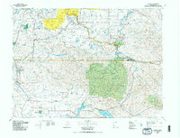 1980 Centralia1980 Print · USGSThe rail and river corridors of southwestern Washington are captured here in the late twentieth century, showing the region's transition from resource extraction to managed forest land. Researchers can trace the industrial footprint of the Stoker Mine, the rails of the Union Pacific, and the early development of Centralia and Chehalis.
 - 1987 Map of Glenoma
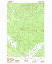 1987 Glenoma1987 Print · USGSThe Rainey Valley and the timber-rich slopes of Lewis County are captured here in the late 1980s. Local historians can trace the development of Glenoma and its surrounding drainages, including Rainey Creek and the southern reach of Riffe Lake.2 unique versions available
 - 1998 Map of Glenoma, 2003 Print
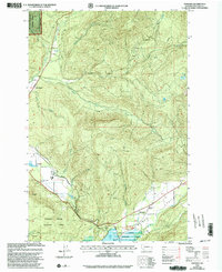 1998 Glenoma2003 Print · USGSRainey Valley and the surrounding Lewis County highlands are shown here in the late nineties, documenting a landscape of timber, water, and conservation. Map collectors and genealogists can trace the rural layout of Glenoma, find the shoreline of Riffe Lake, or locate family landmarks near Rainey Creek and Coal Canyon.
 - 2011 Map of Glenoma, 2011 Print
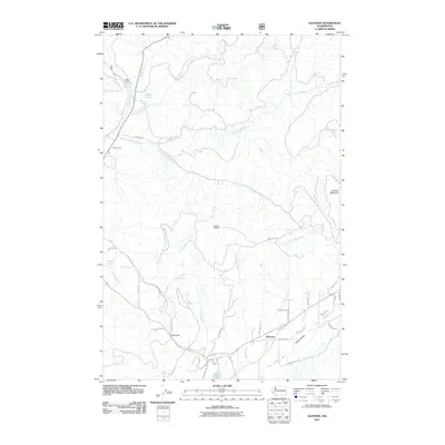 2011 Glenoma2011 Print · USGSGlenoma and the surrounding Lewis County highlands are shown here in the early twenty-first century as the landscape balances its industrial roots with its watershed geography. Researchers can trace the legacy of local camps and topographic landmarks like Ladd Camp, Kosmos Lookout, and the reach of Rainey Valley.
 - 2013 Map of Glenoma, 2013 Print
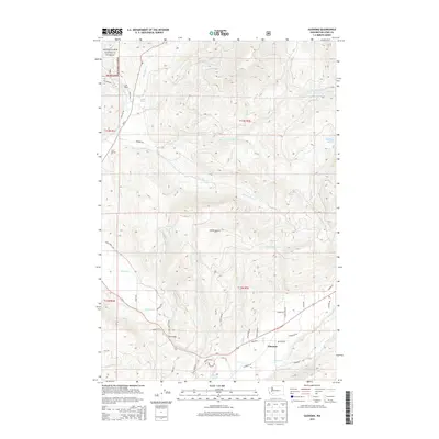 2013 Glenoma2013 Print · USGSGlenoma and the surrounding Lewis County timberlands are captured here during the early twenty-first century. Researchers can trace rural landmarks and forest infrastructure from the heights of Kosmos Lookout to the valley settlements of Glenoma and Ladd Camp.
 - 2017 Map of Glenoma, 2017 Print
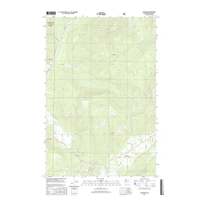 2017 Glenoma2017 Print · USGSLewis County mountain terrain meets the shoreline of Riffe Lake in this recent survey of the southern Washington Cascades. Local historians can trace the road networks around Glenoma and follow logging routes like the Champion Haul Rd toward the Snoqualmie National Forest.
 - 2020 Map of Glenoma, 2020 Print
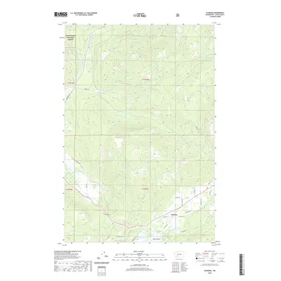 2020 Glenoma2020 Print · USGSRainey Valley and the settlement of Glenoma are captured in the late twenty-teens as the landscape balances forest industry and mountain recreation. Researchers can trace the drainage of the Tilton River and locate local landmarks like McKinley Lake, Fern Gap, and Riffe Lake.
 - 2023 Map of Glenoma, 2023 Print
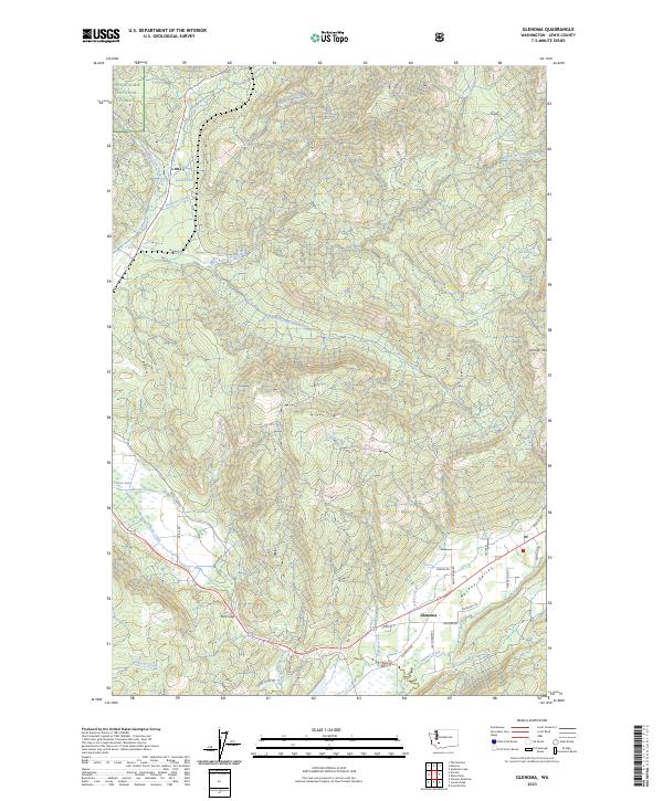 2023 Glenoma2023 Print · USGSLewis County's highland valleys and timbered slopes are documented here in recent detail. Genealogists and local historians can trace modern access roads through Rainey Valley to the heart of Glenoma and landmarks like Johnson Mtn or Davis Lake.
End of results
Showing maps 1-14 of 14
Top cities near Glenoma
Frequently asked questions
- What are the different types of historical maps available for Glenoma?
- What is the oldest map of Glenoma?
- Where can I purchase historical maps of Glenoma for my home or office?
- Where can I download high-res historical maps of Glenoma?
- Are there historical topographic maps available for Glenoma?
- Is there historical aerial imagery available for Glenoma?
- Where are historical maps of Glenoma sourced from?