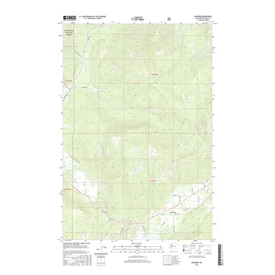
2017 Map of Glenoma
USGS Topo · Published 2017About this map
Glenoma occupies the southern valley floor along the northern edge of Riffe Lake, where the landscape transitions from the developed road networks of Lewis County into the steep drainages of the Snoqualmie National Forest. This 2017 study illustrates the complex hydrology of the region, featuring the confluence of multiple tributaries including Rainey Cr, Johnson Cr, and Steffen Cr as they flow toward the lake. The northern half is dominated by the upper reaches of the Tilton River system, with the E Fork Tilton River and W Fork Tilton River carving through the terrain near high-elevation points like Fern Gap. Extensive forest service and logging infrastructure, such as the Champion Haul Rd and various DNR routes, reveal the ongoing industrial character of these mountainsides, while isolated water bodies like McKinley Lake and Davis Lake highlight the area's natural geography.
Find a feature on this map
49 named features on this map. Tap any name to fly to it.
Don’t see what you’re looking for? This feature index may not catch every label — zoom into the map to look around manually.
Map Details
Editions of this 2017 Glenoma Map
This is the sole edition of this map. No revisions or reprints were ever made.
Other maps of this area
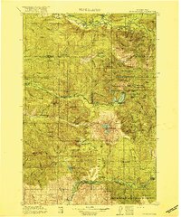
1919 · Mount St Helens
USGS Topo · 1:125,000
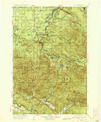
1937 · Eatonville
USGS Topo · 1:125,000
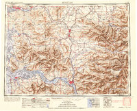
1953 · Hoquiam
USGS Topo · 1:250,000
1953 · Elk Rock
USGS Topo · 1:62,500
1956 · Mineral
USGS Topo · 1:62,500
1957 · Hoquiam
USGS Topo · 1:250,000
1957 · Morton
USGS Topo · 1:62,500
1957 · Spirit Lake
USGS Topo · 1:62,500
1958 · Hoquiam
USGS Topo · 1:250,000
1962 · Hoquiam
USGS Topo · 1:250,000