Old Maps of Harrington, Washington
Explore 16 old maps of Harrington, spanning from 1953 to today. These high-resolution historic maps reveal how streets, neighborhoods, landmarks, and natural features evolved over time — perfect for genealogy, metal detecting, research, and local history exploration.
What you can do with these maps:
- See how Harrington changed over time: Compare historical maps to modern-day views to trace roads, homesites, rail lines & more.
- View detailed metadata: Each map includes creators, publishers, year, scale, and archive source.
- Overlay maps with satellite & LiDAR: Visualize the past alongside modern tools to explore terrain & human change.
- Trusted historical sources: Maps sourced from the USGS, Library of Congress, and other archives.
- Access maps your way: View online, download high-res files, or order prints for personal or research use.
Start exploring old maps of Harrington to uncover forgotten places, hidden landmarks, and the deep history beneath your feet.
Harrington, WA maps
(16)- 1953 Map of Ritzville, 1966 Print
 1953 Ritzville1966 Print · USGSEastern Washington was undergoing a massive agricultural and industrial transformation in the mid-fifties as irrigation from the Grand Coulee Dam reached the plateau. Researchers can trace the mid-century rail network of the Great Northern and locate vital local sites like Larson Air Force Base and Odessa.3 unique versions available
 - 1959 Map of Ritzville
 1959 Ritzville1959 Print · USGSEastern Washington in the late fifties reveals a landscape transformed by massive irrigation projects and postwar growth. Genealogists and historians can trace rail-line communities from Ritzville to Davenport and locate landmarks like Larson Air Force Base and Telford Station.
 - 1965 Map of Ritzville
 1965 Ritzville1965 Print · USGSCentral Washington during the mid-sixties shows a landscape shaped by massive irrigation projects and the Cold War. Genealogists and historians can trace rail-town life and military presence through Ephrata Air Base, the Telford Station, and local schools.
 - 1969 Map of Harrington, 1972 Print
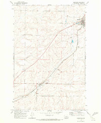 1969 Harrington1972 Print · USGSHarrington and the surrounding wheat country are captured in the late sixties as the rail-driven economy thrived. Trace the tracks of the Burlington Northern between Harrington and Mohler past local Grain Elevators and the Golf and Country Club.
 - 1969 Map of Lords Valley, 1972 Print
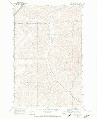 1969 Lords Valley1972 Print · USGSLincoln County farmland and the drainage of Lords Valley are documented here in the late sixties. Genealogists and local historians can trace the rail corridor of the Burlington Northern near Harrington or find the rural settlement at Duncan.
 - 1982 Map of Ritzville, 1983 Print
 1982 Ritzville1983 Print · USGSEastern Washington's scabland landscape is captured here in the early eighties as a network of rail-towns and coulees. Researchers can trace the BURLINGTON NORTHERN route through Odessa, Lamona, and Ritzville or locate landmarks like Sprague Lake and Karakul Hills.
 - 2011 Map of Harrington, 2011 Print
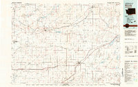
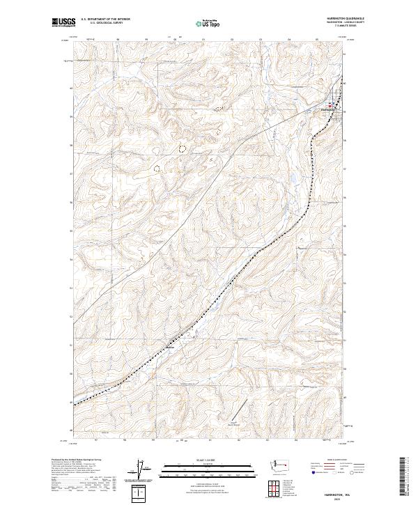
 2011 Harrington2011 Print · USGSCovers Harrington, including Mohler, Lincoln County, and other nearby areas
 - 2011 Map of Lords Valley, 2011 Print
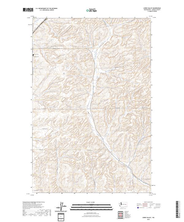
 2011 Lords Valley2011 Print · USGSCovers Harrington, including Lincoln County, United States, and other nearby areas
 - 2013 Map of Harrington, 2013 Print
 2013 Harrington2013 Print · USGSCovers Harrington, including Mohler, Lincoln County, and other nearby areas
 - 2013 Map of Lords Valley, 2013 Print
 2013 Lords Valley2013 Print · USGSCovers Harrington, including Lincoln County, United States, and other nearby areas
 - 2017 Map of Harrington, 2017 Print
 2017 Harrington2017 Print · USGSCovers Harrington, including Mohler, Lincoln County, and other nearby areas
 - 2017 Map of Lords Valley, 2017 Print
 2017 Lords Valley2017 Print · USGSCovers Harrington, including Lincoln County, United States, and other nearby areas
 - 2020 Map of Harrington, 2020 Print
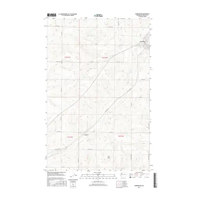
 2020 Harrington2020 Print · USGSCovers Harrington, including Mohler, Lincoln County, and other nearby areas
 - 2020 Map of Lords Valley, 2020 Print
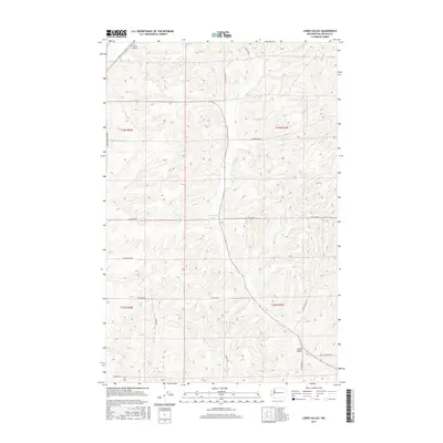
 2020 Lords Valley2020 Print · USGSCovers Harrington, including Lincoln County, United States, and other nearby areas
 - 2023 Map of Harrington, 2023 Print
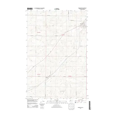
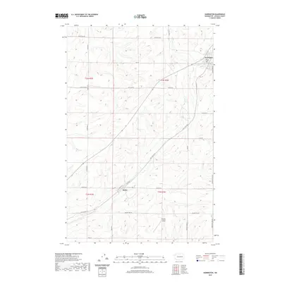
 2023 Harrington2023 Print · USGSLincoln County agriculture and aviation come together in the early twenty-first century near the town of Harrington. Researchers can trace family ranching history along Kramer Farms Rd and locate the Kramer Ranch Airport and Mohler settlement.
 - 2023 Map of Lords Valley, 2023 Print
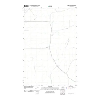
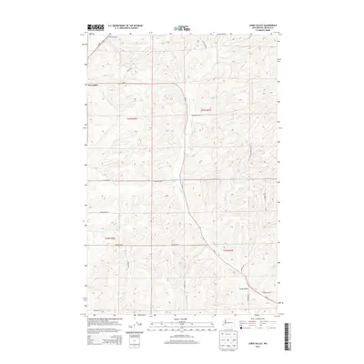
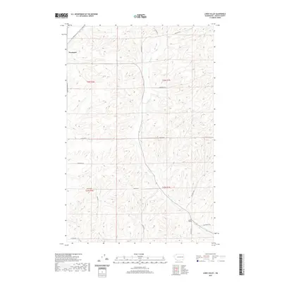
 2023 Lords Valley2023 Print · USGSLincoln County’s agricultural heartland is documented here in the early twenty-first century, showing the enduring grid of rural life. Genealogists can locate Hillcrest Cem and Saint Francis Cem or trace family lands along Talkington Rd.
End of results
Showing maps 1-16 of 16
Top cities near Harrington
Frequently asked questions
- What are the different types of historical maps available for Harrington?
- What is the oldest map of Harrington?
- Where can I purchase historical maps of Harrington for my home or office?
- Where can I download high-res historical maps of Harrington?
- Are there historical topographic maps available for Harrington?
- Is there historical aerial imagery available for Harrington?
- Where are historical maps of Harrington sourced from?