Old Maps of Nemo, Washington for Genealogy
Trace your family roots with 10 historic maps of Nemo. These high-res maps reveal old neighborhoods, homesites, landmarks, and streets — helping you uncover where your ancestors lived and how the area evolved over time.
- Explore historic neighborhoods: Identify where your relatives may have lived in the 1800s or 1900s.
- Compare maps over time: Trace the changes in streets, buildings, and landmarks for multi-generational research.
- Perfect for genealogy & ancestry research: Used by family historians and researchers to map out lineage and migration.
These maps are an incredible resource for exploring your personal connection to Nemo's past.
Nemo, WA maps
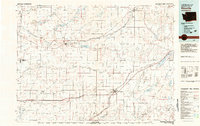
(10)- 1953 Map of Ritzville, 1966 Print
 1953 Ritzville1966 Print · USGSEastern Washington was undergoing a massive agricultural and industrial transformation in the mid-fifties as irrigation from the Grand Coulee Dam reached the plateau. Researchers can trace the mid-century rail network of the Great Northern and locate vital local sites like Larson Air Force Base and Odessa.3 unique versions available
 - 1959 Map of Ritzville
 1959 Ritzville1959 Print · USGSEastern Washington in the late fifties reveals a landscape transformed by massive irrigation projects and postwar growth. Genealogists and historians can trace rail-line communities from Ritzville to Davenport and locate landmarks like Larson Air Force Base and Telford Station.
 - 1965 Map of Ritzville
 1965 Ritzville1965 Print · USGSCentral Washington during the mid-sixties shows a landscape shaped by massive irrigation projects and the Cold War. Genealogists and historians can trace rail-town life and military presence through Ephrata Air Base, the Telford Station, and local schools.
 - 1968 Map of Sylvan Lake, 1971 Print
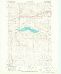 1968 Sylvan Lake1971 Print · USGSThe Lincoln and Adams county line comes into focus in the late 1960s, showing a quiet landscape of water gaps and rail lines. Genealogists and historians can trace the paths of Davis Road and Nielson Road near the settlement of Nemo.
 - 1982 Map of Ritzville, 1983 Print
 1982 Ritzville1983 Print · USGSEastern Washington's scabland landscape is captured here in the early eighties as a network of rail-towns and coulees. Researchers can trace the BURLINGTON NORTHERN route through Odessa, Lamona, and Ritzville or locate landmarks like Sprague Lake and Karakul Hills.
 - 2011 Map of Sylvan Lake, 2011 Print
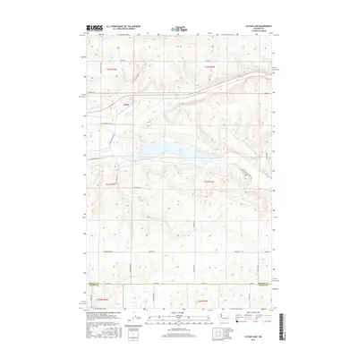
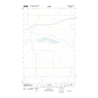 2011 Sylvan Lake2011 Print · USGSCovers Nemo, including Adams County, Lincoln County, and other nearby areas
 - 2013 Map of Sylvan Lake, 2013 Print
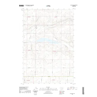
 2013 Sylvan Lake2013 Print · USGSCovers Nemo, including Adams County, Lincoln County, and other nearby areas
 - 2017 Map of Sylvan Lake, 2017 Print
 2017 Sylvan Lake2017 Print · USGSCovers Nemo, including Adams County, Lincoln County, and other nearby areas
 - 2020 Map of Sylvan Lake, 2020 Print
 2020 Sylvan Lake2020 Print · USGSCovers Nemo, including Adams County, Lincoln County, and other nearby areas
 - 2023 Map of Sylvan Lake, 2023 Print
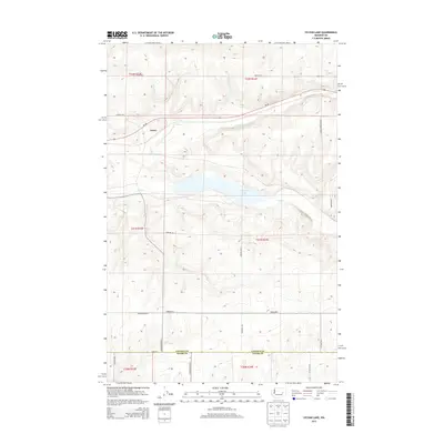
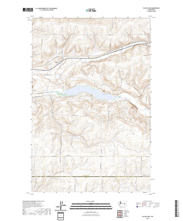 2023 Sylvan Lake2023 Print · USGSLincoln and Adams counties meet in this high-desert ranching landscape during the early twenty-first century. Family history is etched into the road network, allowing researchers to trace Nemo and locations along Heimbigner Rd E or near the waters of Sylvan Lake.
End of results
Showing maps 1-10 of 10
Top cities near Nemo
Frequently asked questions
- What are the different types of historical maps available for Nemo?
- What is the oldest map of Nemo?
- Where can I purchase historical maps of Nemo for my home or office?
- Where can I download high-res historical maps of Nemo?
- Are there historical topographic maps available for Nemo?
- Is there historical aerial imagery available for Nemo?
- Where are historical maps of Nemo sourced from?