2000s (21st Century) Maps of Anglin, Washington
Explore 6 historic maps of Anglin from the 2000s (21st Century). These maps offer a rare glimpse into what life looked like during the 2000s — showing old roads, neighborhoods, homes, and landmarks that have changed or disappeared over time.
Whether you're researching your family's past, planning a metal detecting trip, or studying how Anglin's landscape evolved across the 2000s, these high-resolution maps are a powerful tool for exploring the history of this region.
- Focus on a specific era: All maps on this page are from the 2000s, giving you a focused view of this time period.
- See what’s changed: Compare century-old streets, trails, and buildings to today's modern landscape using overlays and satellite layers.
- Research with precision: Use these maps for genealogy, historical research, land use analysis, or educational projects.
- View, download, or print: Maps are fully viewable online in high resolution, and can be downloaded or printed for your own records.
Start exploring Anglin's history through authentic maps from the 2000s. This is your window into the past.
Anglin, WA maps
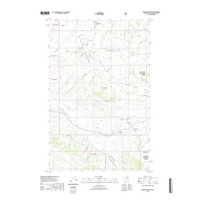
(6)- 2001 Map of Barker Mountain, 2004 Print
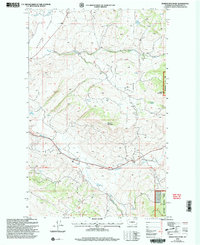 2001 Barker Mountain2004 Print · USGSOkanogan County’s high country is documented here at the turn of the millennium, showing the transition from forest to the cattle-ranching landscape of the Antoine Valley. Researchers can trace the footprint of the Anglin (Site) and find family history markers like the local Cem and Fancher Spring.
 - 2011 Map of Barker Mountain, 2011 Print
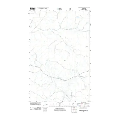 2011 Barker Mountain2011 Print · USGSCovers Anglin, including Okanogan County, United States, and other nearby areas
 - 2014 Map of Barker Mountain, 2014 Print
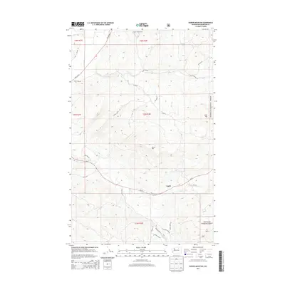 2014 Barker Mountain2014 Print · USGSCovers Anglin, including Okanogan County, United States, and other nearby areas
 - 2017 Map of Barker Mountain, 2017 Print
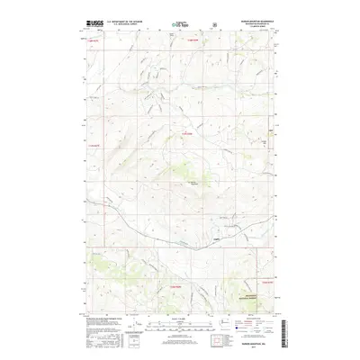 2017 Barker Mountain2017 Print · USGSCovers Anglin, including Okanogan County, United States, and other nearby areas
 - 2020 Map of Barker Mountain, 2020 Print
 2020 Barker Mountain2020 Print · USGSCovers Anglin, including Okanogan County, United States, and other nearby areas
 - 2023 Map of Barker Mountain, 2023 Print
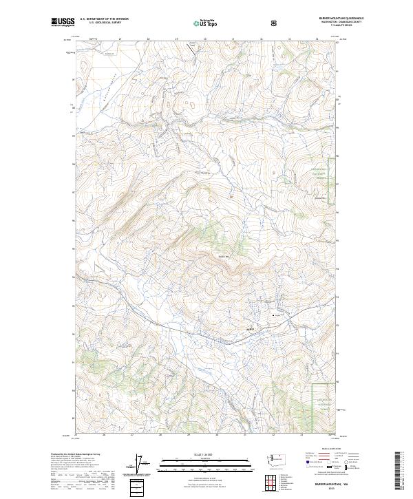 2023 Barker Mountain2023 Print · USGSOkanogan County’s high country is captured here in the contemporary era, centered on the historic settlement of Anglin. Genealogists and local historians can trace the Anglin Cem and land features like Antoine Valley and Barker Mtn.
End of results
Showing maps 1-6 of 6
Top cities near Anglin
Frequently asked questions
- What are the different types of historical maps available for Anglin?
- What is the oldest map of Anglin?
- Where can I purchase historical maps of Anglin for my home or office?
- Where can I download high-res historical maps of Anglin?
- Are there historical topographic maps available for Anglin?
- Is there historical aerial imagery available for Anglin?
- Where are historical maps of Anglin sourced from?