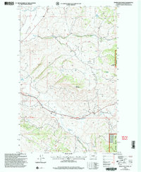
2001 Map of Barker Mountain
USGS Topo · Published 2004About this map
Barker Mountain dominates this portion of the Okanogan National Forest in northern Washington, where the high terrain gives way to the open Antoine Valley. The map documents a rugged landscape defined by its water sources, from the flow of Antoine Creek and Siwash Creek to isolated landmarks like Razor Lake and Fancher Spring. A significant cultural marker is the Anglin (Site), located in the southern section along Bonaparte Creek. This former settlement is accompanied by a nearby Cem, indicating the historical footprint of early residents in the valley. The presence of the Ninth Standard Parallel North and several marked wells, such as Wells and Well near the valley floor, suggests a history of livestock management and surveying in this high-country environment at the beginning of the twenty-first century.
Find a feature on this map
19 named features on this map. Tap any name to fly to it.
Don’t see what you’re looking for? This feature index may not catch every label — zoom into the map to look around manually.
Map Details
Editions of this 2001 Barker Mountain Map
This is the sole edition of this map. No revisions or reprints were ever made.
Other maps of this area

1902 · Osoyoos
USGS Topo · 1:125,000

1904 · Osoyoos
USGS Topo · 1:125,000

1954 · Okanogan
USGS Topo · 1:250,000

1957 · Mt. Bonaparte
USGS Topo · 1:62,500

1957 · Tonasket
USGS Topo · 1:62,500

1957 · Oroville
USGS Topo · 1:62,500

1957 · Aeneas Valley
USGS Topo · 1:62,500

1958 · Okanogan
USGS Topo · 1:250,000
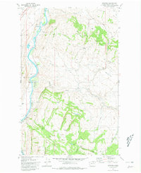
1980 · Keystone
USGS Topo · 1:24,000
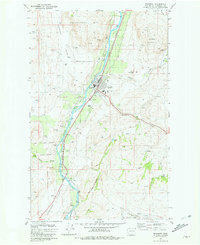
1981 · Tonasket
USGS Topo · 1:24,000