Old Maps of Starr, Washington for Genealogy
Trace your family roots with 10 historic maps of Starr. These high-res maps reveal old neighborhoods, homesites, landmarks, and streets — helping you uncover where your ancestors lived and how the area evolved over time.
- Explore historic neighborhoods: Identify where your relatives may have lived in the 1800s or 1900s.
- Compare maps over time: Trace the changes in streets, buildings, and landmarks for multi-generational research.
- Perfect for genealogy & ancestry research: Used by family historians and researchers to map out lineage and migration.
These maps are an incredible resource for exploring your personal connection to Starr's past.
Starr, WA maps
(10)- 1953 Map of Ritzville, 1966 Print
 1953 Ritzville1966 Print · USGSEastern Washington was undergoing a massive agricultural and industrial transformation in the mid-fifties as irrigation from the Grand Coulee Dam reached the plateau. Researchers can trace the mid-century rail network of the Great Northern and locate vital local sites like Larson Air Force Base and Odessa.3 unique versions available
 - 1959 Map of Ritzville
 1959 Ritzville1959 Print · USGSEastern Washington in the late fifties reveals a landscape transformed by massive irrigation projects and postwar growth. Genealogists and historians can trace rail-line communities from Ritzville to Davenport and locate landmarks like Larson Air Force Base and Telford Station.
 - 1965 Map of Ritzville
 1965 Ritzville1965 Print · USGSCentral Washington during the mid-sixties shows a landscape shaped by massive irrigation projects and the Cold War. Genealogists and historians can trace rail-town life and military presence through Ephrata Air Base, the Telford Station, and local schools.
 - 1968 Map of Azwell, 1971 Print
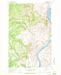 1968 Azwell1971 Print · USGSThe Columbia River corridor north of Chelan comes alive in the late sixties as a center of rail transport and forest management. Researchers can trace the Burlington Northern line through Azwell or locate remote camps like Evergreen Camp.3 unique versions available
 - 2001 Map of Azwell, 2004 Print
 2001 Azwell2004 Print · USGSThe Columbia River corridor near the turn of the twenty-first century reveals a landscape of hydroelectric reservoirs and forest service lands. Local historians can trace early land divisions through Indian Allotment Boundaries near Azwell and the settlement of Starr.
 - 2011 Map of Azwell, 2011 Print
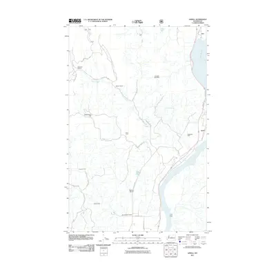 2011 Azwell2011 Print · USGSCovers Starr, including Azwell, Chelan County, and other nearby areas
 - 2014 Map of Azwell, 2014 Print
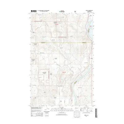 2014 Azwell2014 Print · USGSCovers Starr, including Azwell, Chelan County, and other nearby areas
 - 2017 Map of Azwell, 2017 Print
 2017 Azwell2017 Print · USGSCovers Starr, including Azwell, Chelan County, and other nearby areas
 - 2020 Map of Azwell, 2020 Print
 2020 Azwell2020 Print · USGSCovers Starr, including Azwell, Chelan County, and other nearby areas
 - 2023 Map of Azwell, 2023 Print
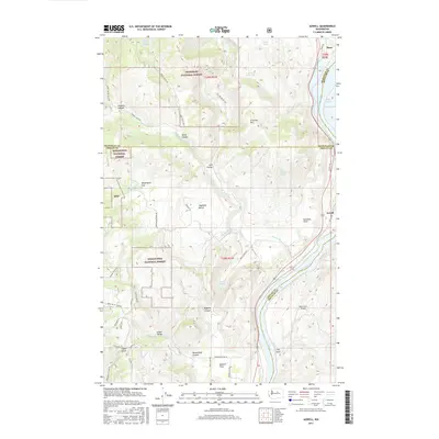
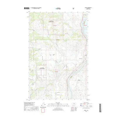
 2023 Azwell2023 Print · USGSThe Columbia River corridor north of Chelan comes alive in this 2023 survey, showing the relationship between the national forests and valley settlements. Genealogists and local historians can trace family-named areas like Arbuckle Mtn and Gossman Flats or locate the riverside hamlet of Azwell.
End of results
Showing maps 1-10 of 10
Top cities near Starr
Frequently asked questions
- What are the different types of historical maps available for Starr?
- What is the oldest map of Starr?
- Where can I purchase historical maps of Starr for my home or office?
- Where can I download high-res historical maps of Starr?
- Are there historical topographic maps available for Starr?
- Is there historical aerial imagery available for Starr?
- Where are historical maps of Starr sourced from?