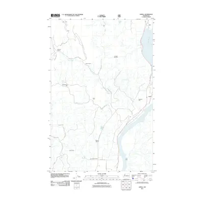
2011 Map of Azwell
USGS Topo · Published 2011About this map
The Columbia River defines the southeastern border of this landscape, its waters widening into Lake Pateros near the settlements of Azwell and Starr. This river-driven topography is characterized by a series of drainages and named canyon systems, including Wadams Canyon and Bigelow Canyon, which cut through the high ground of Arbuckle Mountain. The presence of Meyer Ranch and labels like Gossman Flats indicate a rural economy tied to the land and water, while the eastern edge of the Okanogan National Forest suggests the transition from agricultural valley to protected timberlands. Local transport is facilitated by a network of named routes such as Antoine Creek Rd and Apple Acres Rd, which connect the scattered communities of Union Valley and Evergreen Camp to the river's edge.
Find a feature on this map
30 named features on this map. Tap any name to fly to it.
Don’t see what you’re looking for? This feature index may not catch every label — zoom into the map to look around manually.
Map Details
Editions of this 2011 Azwell Map
This is the sole edition of this map. No revisions or reprints were ever made.
Other maps of this area

1899 · Methow
USGS Topo · 1:125,000

1901 · Chelan
USGS Topo · 1:125,000

1901 · Methow
USGS Topo · 1:125,000

1905 · Okanogan
USGS Topo · 1:125,000

1953 · Ritzville
USGS Topo · 1:250,000

1954 · Okanogan
USGS Topo · 1:250,000

1955 · Concrete
USGS Topo · 1:250,000

1957 · Brewster
USGS Topo · 1:62,500

1957 · Wenatchee
USGS Topo · 1:250,000

1958 · Concrete
USGS Topo · 1:250,000