Old Maps of North Nemah, Washington for Hiking & Exploration
Hike through history with 14 historic maps of North Nemah. Explore old trails, ghost towns, and forgotten backroads — perfect for outdoor adventurers and local explorers.
- Rediscover forgotten places: Map out old mining camps, roads, and footpaths that no longer exist on modern maps.
- Layer with modern tools: Combine with LiDAR or satellite views to plan hikes through historical terrain.
- Made for exploration: Popular among hikers, overlanders, and local history lovers.
Use these maps to find adventure and explore the hidden past of North Nemah.
North Nemah, WA maps
(14)- 1938 Map of South Bend, 1963 Print
 1938 South Bend1963 Print · USGSWillapa Bay and the river delta are captured here in the late 1930s, showing a landscape of maritime trade and family homesteads. Genealogists can trace property and industry via Pickernell Ranch, the Dwyer Store, and the Northern Pacific rail line.
 - 1940 Map of South Bend
 1940 South Bend1940 Print · USGSPacific County's maritime and ranching history is preserved here during the late thirties, centered on the river port of South Bend. Genealogists and historians can locate old family landmarks like Minks Ranch, Dwyer Store, and the coastal retreat at Rhodesia Beach.
 - 1953 Map of Hoquiam
 1953 Hoquiam1953 Print · USGSSouthwest Washington in the early fifties shows a landscape shaped by timber, rail, and river commerce from the coast to the Cascades. Genealogists and historians can trace the development of timber towns like Ryderwood and the industrial hubs of Hoquiam and Kelso.2 unique versions available
 - 1955 Map of North Nemah, 1959 Print
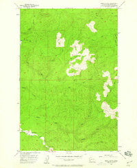 1955 North Nemah1959 Print · USGSPacific County’s coastal river systems are documented here in the mid-fifties, showing the intersection of local industry and the water. Researchers can trace the layout of North Nemah, the State Salmon Hatchery, and river landings along Nemah Road.4 unique versions available
 - 1957 Map of Hoquiam
 1957 Hoquiam1957 Print · USGSCoastal timber ports and inland rail hubs define Southwest Washington during the late fifties. Genealogists can trace early twentieth-century settlements like Bordeaux, Tono, and Cosmopolis alongside the expanding tracks of the Northern Pacific.
 - 1957 Map of South Bend, 1967 Print
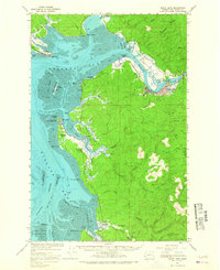 1957 South Bend1967 Print · USGSCoastal life in Pacific County centered on the timber and oyster trades during the late fifties. Genealogists can trace family names at Rhodesia Beach or Nemah, and follow the Northern Pacific line as it reaches South Bend.
 - 1958 Map of Hoquiam, 1969 Print
 1958 Hoquiam1969 Print · USGSSouthwest Washington and the Columbia River estuary appear here in the mid-century, before major landscape shifts. Researchers can trace the rail lines of the Northern Pacific, locate the Fort Henness Site, or explore the Naselle Air Force Station.2 unique versions available
 - 1962 Map of Hoquiam
 1962 Hoquiam1962 Print · USGSSouthwest Washington in the late fifties is defined by the bustling timber ports of Hoquiam and the rail-linked commerce of the interior valleys. Genealogists and historians can trace the early footprints of settlements like Raymond and Pe Ell, or locate family sites at Grand Mound Cem and Odd Fellows Cem.
 - 1992 Map of Chehalis River, 1993 Print
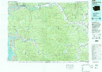 1992 Chehalis River1993 Print · USGSThe Chehalis River valley and the timberlands of the Black Hills are captured here in the early nineties. Researchers can trace rail-and-river history through Montesano and Raymond, or locate the unique Mima Mounds and Bordeaux.2 unique versions available
 - 2011 Map of North Nemah, 2011 Print
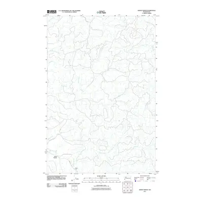 2011 North Nemah2011 Print · USGSPacific County's coastal timberlands and river valleys are captured here in the early twenty-first century. Researchers can map the area around North Nemah or follow the paths of the Canon River and South Fork Willapa River.
 - 2013 Map of North Nemah, 2013 Print
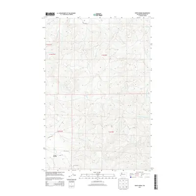 2013 North Nemah2013 Print · USGSThe coastal river valleys of Pacific County are captured here in the early twenty-first century as a landscape of timber and tide. Genealogists and researchers can trace local landmarks like North Nemah, the Nemah Hatchery, and the winding course of the Canon River.
 - 2017 Map of North Nemah, 2017 Print
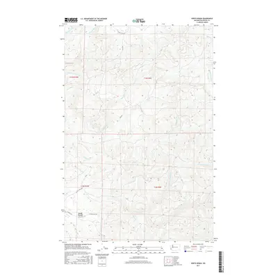 2017 North Nemah2017 Print · USGSPacific County’s timber and river country is documented here in the early twenty-first century. Genealogists and local historians can trace the landscape around North Nemah and follow the paths of the S Fork Willapa River and Niawiakum River.
 - 2020 Map of North Nemah, 2020 Print
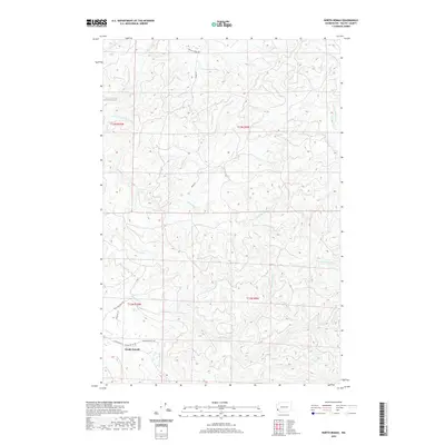 2020 North Nemah2020 Print · USGSPacific County’s coastal river valleys and timberlands are documented here in recent years, centered on the settlement of North Nemah. Genealogists and local historians can trace the paths of Nemah Valley Rd and water bodies like Pickernell Cr and the Canon River.
 - 2023 Map of North Nemah, 2023 Print
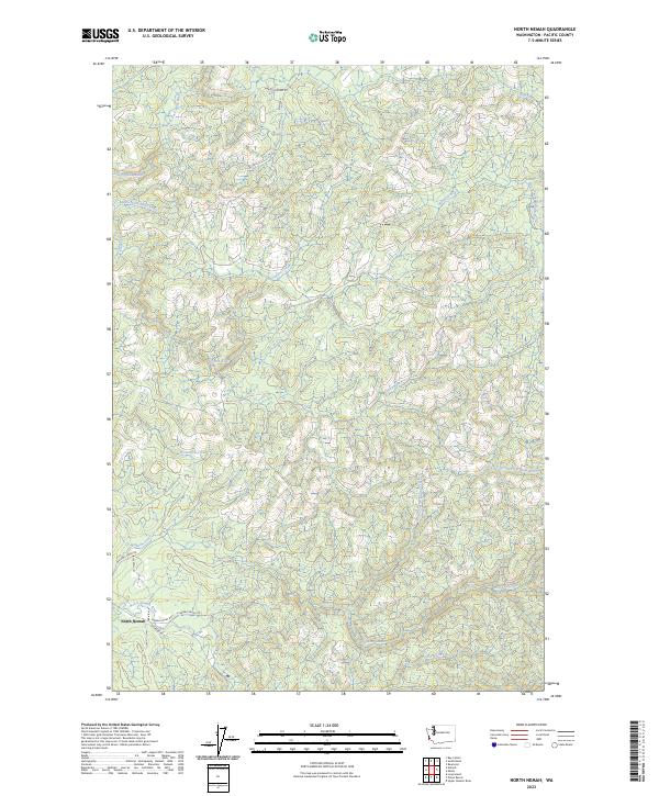 2023 North Nemah2023 Print · USGSPacific County’s timber and tidal lands are revealed in this recent survey of the Willapa Bay coastline. Genealogists and local historians can trace family-named routes like Harold Young Rd and the winding course of the North Nemah River.
End of results
Showing maps 1-14 of 14
Top cities near North Nemah
- Raymond historical maps
- South Bend historical maps
- Ocean Park historical maps
- Long Beach historical maps
- Ilwaco historical maps
- Tokeland historical maps
Frequently asked questions
- What are the different types of historical maps available for North Nemah?
- What is the oldest map of North Nemah?
- Where can I purchase historical maps of North Nemah for my home or office?
- Where can I download high-res historical maps of North Nemah?
- Are there historical topographic maps available for North Nemah?
- Is there historical aerial imagery available for North Nemah?
- Where are historical maps of North Nemah sourced from?